
Webb, Alonzo C. (sold)

Alonzo C. Webb (April 1, 1888 - 1974) was an American engraver, architect, painter and illustrator. Web was born in Nashville Tennessee. He attended the Art Institute of Chicago from 1907 to 1909, then enrolled in the Stout Institute of Wisconsin in 1911 to study building and construction for one year, before attaining an architecture degree at the University of Illinois (1912 - 1913). During World War I he served with American Engineering Forces in France, falling in love with that country. After the war he studied art at the A.E.F. Art Training Center in Bellevue, France, a school set up for American soldiers. Determined to stay in Paris, he give up his architectural career, which he could not practice in France, to make ends meet doing various odd illustration jobs and making sings in English for millinery shops on Rue de Rivoli. His work gradually became more popular and frequently appeared in the French weekly periodical, L'Illustration. In the 1920s and 30s he worked multinationally, producing art and architectural illustrations for American, French, and Italian interests. Webb moved to London in the 1930, remaining there until his death in 1974.
Mansucript original art for famous British Empire pictorial map.
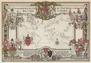
The Commonwealth of Nations or, The British Empire.
sold
- Digital Map Information
- Suitable for large format printing
- File Size: 20.8 MB
- File Type: ZIP / TIFF
- ICC color profile embedded
- Delivered instantly via download link
This is the original manuscript draft of a stunning 1937 pictorial map of the world highlighting the British Empire. The map was drawn by Alonzo C. Webb to celebrate King George VI's May, 1937 coronation and subsequently published in a special color section of the Christian Science Monitor. It depicts the whole world on a Mercator Projection, with British territories, or the Commonwealth, highlighted in red. The whole is surrounded by elaborately giggled heraldic designs. Quotes from Milton and Emerson lionizing British achievement. While less vividly colored than the printed version, lacking strong blue inks there present, this manuscript draft is otherwise near identical. (more details)
Famous British Empire pictorial map.
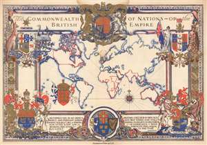
The Commonwealth of Nations - or the British Empire.
sold
- Digital Map Information
- Suitable for large format printing
- Full resolution TIFF file
- ICC color profile embedded
- Delivered instantly via download link
This is a stunning 1937 pictorial map of the world highlighting the British Empire. The map was drawn by Alonzo C. Webb to celebrate King George VI's May 1937 coronation and published in a special color section of the Christian Science Monitor. It depicts the whole world on a Mercator Projection, with British territories, or the Commonwealth, highlighted in red. The whole is surrounded by elaborately gilded heraldic designs. Quotes from Milton and Emerson lionizing British achievement appear along the bottom border. The magnificent blue and red ink and the gilt work truly makes this an eye-catching piece. (more details)
Famous British Empire pictorial map.
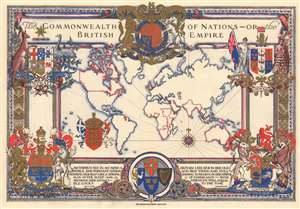
The Commonwealth of Nations - or the British Empire.
sold
- Digital Map Information
- Suitable for large format printing
- Full resolution TIFF file
- ICC color profile embedded
- Delivered instantly via download link
This is a stunning 1937 Alonzo C. Webb pictorial map of the world highlighting the British Empire. The map was drawn by Webb to celebrate King George VI's May 1937 coronation and published in a special color section of the Christian Science Monitor. It depicts the world on a Mercator Projection, with British territories, or the Commonwealth, highlighted in red. The whole is surrounded by elaborately gilded heraldic designs. Quotes from Milton and Emerson lionizing British achievement appear along the bottom border. The magnificent blue and red ink and the gilt work truly makes this an eye-catching piece. (more details)