Authenticity Guaranteed — We sell only original antique maps.
Geographicus Rare Antique Maps
Authenticity Guaranteed — We sell only original antique maps.
Navigation
Shopping Cart
Sort By Price: highest first

Cartographic Themes


All things 'rare maps'. Here we focus on different aspects of antique maps that cannot otherwise be addressed through our category system or product listings.

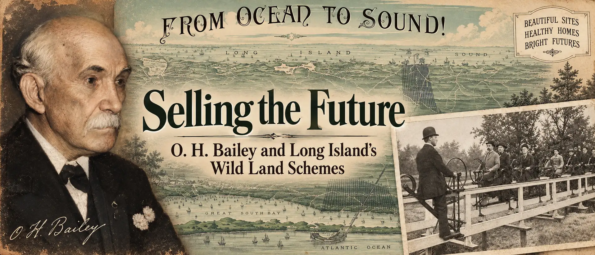
Selling Tomorrow: O. H. Bailey and Long Island's Wild Land Schemes

How bird’s-eye views helped turn Long Island wilderness into boomtowns, paper towns, and some of the Gilded Age’s most audacious real-estate schemes.

In the late 19th century, speculative developers transformed vast stretches of Long Island into thousands of building lots—at least on paper. This article explores how promoters used spectacular bird’s-eye views, many associated with O. H. Bailey, to sell an enticing vision of new towns and suburban prosperity that sometimes became reality, and sometimes amounted to little more than an elaborate land scam.

Kevin J Brown — September 15, 2026
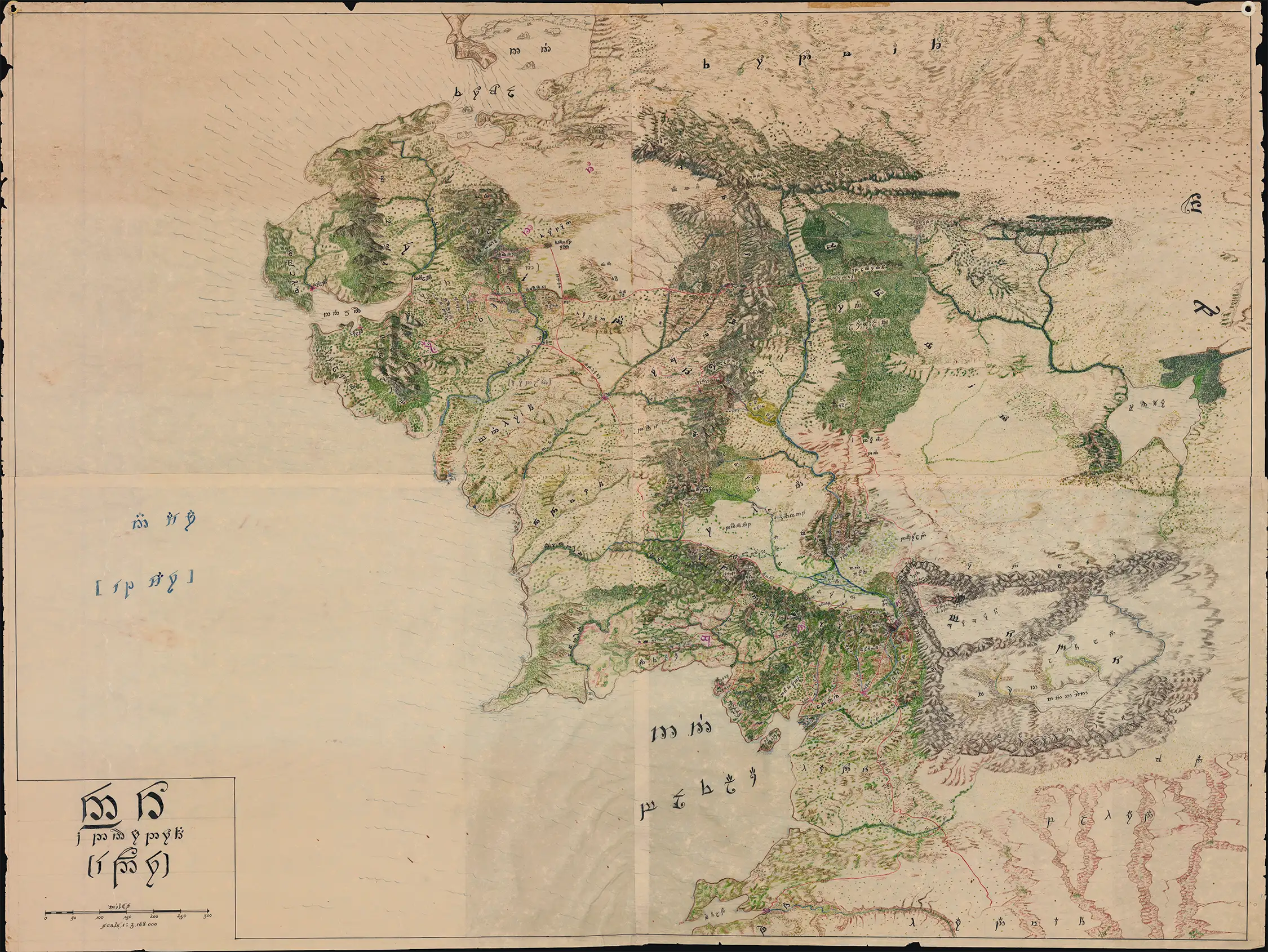
Mysterious Middle-earth Map: An Unknown Cartographer Interprets Tolkien’s World

Massive Cartographic Analysis of Middle-earth

Mysterious Map of Middle-earth: How an Anonymous 1960s-70s cartographer applied the techniques of 18th-Century exploratory mapmaking - analyzing fragmentary accounts, reconciling clues, and applying geographical theories - to interpret Tolkien's world.


Kevin J. Brown — September 09, 2026

The Empire That Never Was: Tartaria, Antique Maps, and the Invention of a Lost Civilization

Explore the Tartaria conspiracy theory, the true history of Tartary on antique maps, and how a geographic label became a lost-empire myth.

Antique maps labeled "Tartary" fuel claims of a lost Tartarian Empire—but what do these maps actually reveal? Geographicus explores the real history behind the Tartaria conspiracy theory, tracing the name from the Mongol Empire to European maps of Siberia and Central Asia. Discover how exploration, Russian and Qing expansion, and increasingly precise cartography gradually replaced "Great Tartary," and why these fascinating maps document evolving geographical knowledge rather than an erased civilization.


Kevin J. Brown — August 27, 2026

The Most Successful 16th Century Geographic Fraud

The Greatest Phantom Island of the Old World.

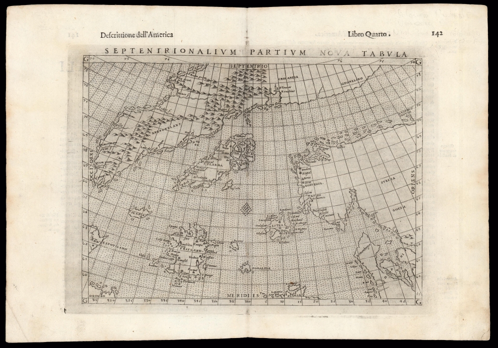
Nicoló Zeno the Younger's attempt to co-opt Columbus's 1492 discovery of America and reattribute that feat to his own ancestors, Nicoló and Antonio Zeno. The Zeno mapping of the Arctic proved to be one of the most enduring cartographic frauds, persisting from the 16th through the 18th centuries - and beyond.


James Roy — December 01, 2023

Stay Informed

First Look at New Acquisitions

New inventory updates delivered directly to your inbox.