Digital Image: 1719 Mallet Map of Africa in Antiquity
AfriqueAncienne-mallet-1719_d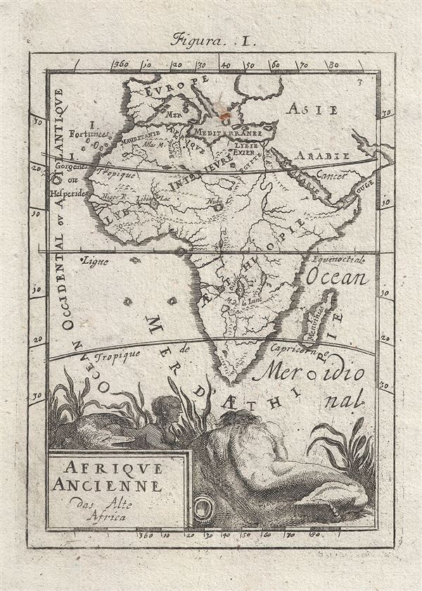

Title
Afrique Ancienne das Alte Africa.
1719 (undated) 6 x 4.5 in (15.24 x 11.43 cm) 1 : 81187200
1719 (undated) 6 x 4.5 in (15.24 x 11.43 cm) 1 : 81187200
Description
FOR THE ORIGINAL ANTIQUE MAP, WITH HISTORICAL ANALYSIS, CLICK HERE.
Digital Map Information
Geographicus maintains an archive of high-resolution rare map scans. We scan our maps at 300 DPI or higher, with newer images being 600 DPI, (either TIFF or JPEG, depending on when the scan was done) which is most cases in suitable for enlargement and printing.
Delivery
Once you purchase our digital scan service, you will receive a download link via email - usually within seconds. Digital orders are delivered as ZIP files, an industry standard file compression protocol that any computer should be able to unpack. Some of our files are very large, and can take some time to download. Most files are saved into your computer's 'Downloads' folder. All delivery is electronic. No physical product is shipped.
Credit and Scope of Use
You can use your digial image any way you want! Our digital images are unrestricted by copyright and can be used, modified, and published freely. The textual description that accompanies the original antique map is not included in the sale of digital images and remains protected by copyright. That said, we put significant care and effort into scanning and editing these maps, and we’d appreciate a credit when possible. Should you wish to credit us, please use the following credit line:
Courtesy of Geographicus Rare Antique Maps (https://www.geographicus.com).
How Large Can I Print?
In general, at 300 DPI, you should at least be able to double the size of the actual image, more so with our 600 DPI images. So, if the original was 10 x 12 inches, you can print at 20 x 24 inches, without quality loss. If your display requirements can accommodate some loss in image quality, you can make it even larger. That being said, no quality of scan will allow you to blow up at 10 x 12 inch map to wall size without significant quality loss. For more information, it is best consult a printer or reprographics specialist.
Refunds
If the high resolution image you ordered is unavailable, we will fully refund your purchase. Otherwise, digital images scans are a service, not a tangible product, and cannot be returned or refunded once the download link is used.
Cartographer
Alain Manesson Mallet (1630-1706) was a French cartographer, grammarian, engineer and mathematician, active in the mid to late 17th century. Despite being born in France, as a young man Mallet joined the Portuguese - yes Portuguese - army where he served as a Sergeant-Major. Later he was able to levy his war experience into a career as Inspector of Fortifications for Louis XIV of France. It was in this position, where his work entailed examining and sketching various fortresses, that Mallet developed his cartographic interests. His most important work is his monumental five volume opus Description de L'Univers, published in 1683. This impressive work described the cultures, governments, lands, and customs of all the known peoples of the earth and included numerous maps and engravings. At the time, the Description was the largest and most comprehensive work of its kind ever published. A year later, in 1684, he published his 3 volume Les Travaux de Mars ou l'Art de la Guerre. Mallet is also known for his invention of the "dumpy bubble", a telescopic sight incorporating a level bubble used for surveying and astronomical observations. More by this mapmaker...
Source
Mallet. A. M, Description de L'Univers, (Frankfurt) 1719.
References
OCLC 164841388.