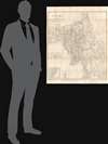
1892 Survey of India Wall Map of Burma
BurmaAdjacentCountries-surveyindia-1892$950.00

Title
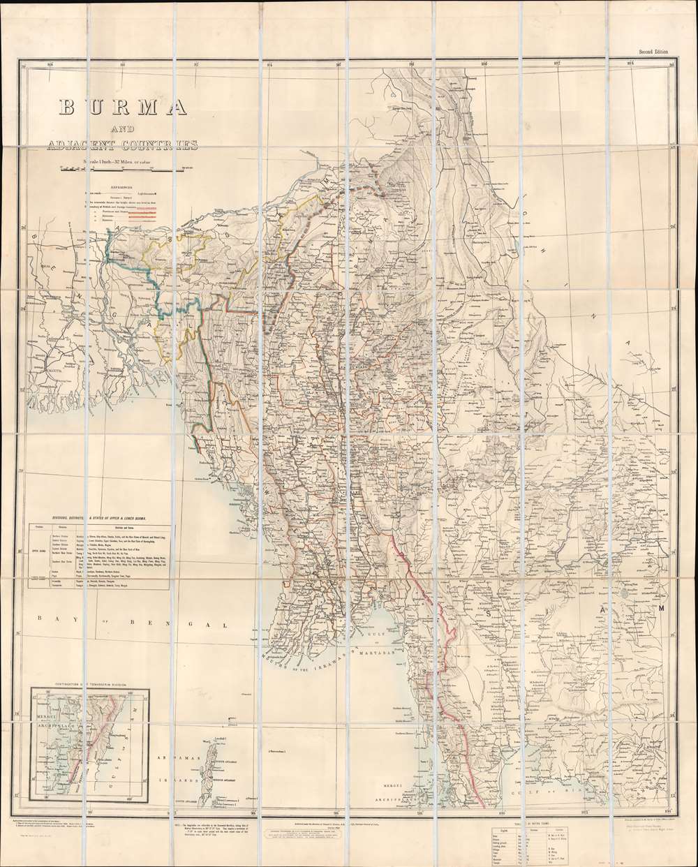
Burma and Adjacent Countries.
1892 (dated) 46.75 x 37.75 in (118.745 x 95.885 cm) 1 : 2027520
1892 (dated) 46.75 x 37.75 in (118.745 x 95.885 cm) 1 : 2027520
Description
This is an 1892 Survey of India map of Burma (Myanmar), published 6 years after Lower Burma became a province of British India. Constant resistance to British rule, and insurgency activity kept this region persistently in the British press, likely the raison d'être for this large and impressive map. Coverage extends from Calcutta to Cambodia and Thailand (Siam), districts and states throughout are illustrated and labeled, along with cities, towns, and villages. The region's many rivers, including the Ganges and Irrawaddy, appear in detail. Black lines trace the Burma State Railway from Rangoon to Mandalay and points north, and the Eastern Bengal State Railway north from Calcutta. Ruby mines, one of the major resources in Upper Burma, are labeled. An inset in the lower-left details extreme southern Burma, identified here as the Tenasserim. A table in the lower left names British imposed districts and states in both Upper and Lower Burma.
Historical Context
Before the Third Anglo-Burmese War in 1895, only Lower Burma had been annexed by the British. After the war, the Burmese king was deposed, Burma lost all sovereignty, and it became a province of British India. Although the war only lasted two weeks and saw very little fighting, a tenacious guerrilla resistance sprang up after the peace was signed. This resistance lasted for ten years. Burma remained a part of British India until World War II, when it fell to the Japanese and became a major theater of war between the Japanese and the Allies. Burma gained its independence on January 4, 1948.Publication History and Census
This map was created by the Survey of India under the direction of Colonel G. Strahan, Royal Engineers. It was sold by Edward Stanford. Two editions of this map were published. The first edition appeared in 1890 and the second edition (of which the present map is an example) was published in 1892. We note two examples of the second edition cataloged in OCLC which are part of the collection at The British Library and the Universitätsbibliothek Marburg.CartographerS
Survey of India (1767 - Present) is India's central engineering agency in charge of mapping and surveying the country. It was founded in 1767 by Major James Rennell, who took the post of first Surveyor General, with the mission to map and consolidate the territories of the British East India Company. The Survey undertook the Great Trigonometrical Survey between 1802 and 1852 in an attempt to accurately measure the Indian Subcontinent - considered one of the greatest feats of mapping of all time. It also sponsored clandestine surveys, at times disguised as Buddhist pilgrims, to infiltrate and map Tibet, then a closed country. With India's independence in 1947, the Survey was folded into the new Indian government, which it remains part of to this day. More by this mapmaker...
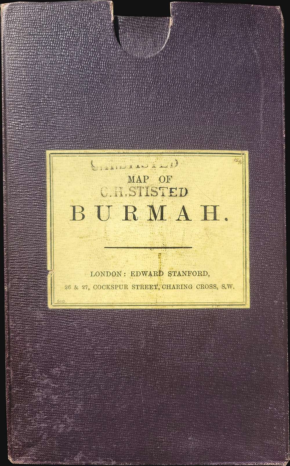
Edward Stanford (May 27, 1827 - November 3, 1904) was one of the most prolific map publishing firms of the late 19th century. The company began as a partnership in 1848 between the 21 year old Edward Stanford and the established map dealer Trelawney Saunders. By 1853 the partnership had dissolved and Edward Stanford took full control of the business. A subsequent series of expansions and exciting new map issues finally led to the production of Stanford's masterwork, "Stanford's Library Map of London". This map is still available and remains somewhat accurate. At the time of publishing it was hailed by the Royal Geographical Society as "the most perfect map of London that has ever been issued". In 1882 Edward Stanford Sr. passed the firm on to his son, Edward Stanford Jr. who continued in his father's proud tradition. Today the Stanford firm still publishes maps and remains one of the most important and prolific cartographic publishers in the world. Learn More...
Condition
Very good. Dissected and mounted on linen in forty-eight (48) panels.
References
OCLC 556756086; 721933692.