
Stanford, Edward

Edward Stanford (May 27, 1827 - November 3, 1904) was one of the most prolific map publishing firms of the late 19th century. The company began as a partnership in 1848 between the 21 year old Edward Stanford and the established map dealer Trelawney Saunders. By 1853 the partnership had dissolved and Edward Stanford took full control of the business. A subsequent series of expansions and exciting new map issues finally led to the production of Stanford's masterwork, "Stanford's Library Map of London". This map is still available and remains somewhat accurate. At the time of publishing it was hailed by the Royal Geographical Society as "the most perfect map of London that has ever been issued". In 1882 Edward Stanford Sr. passed the firm on to his son, Edward Stanford Jr. who continued in his father's proud tradition. Today the Stanford firm still publishes maps and remains one of the most important and prolific cartographic publishers in the world.
'...worthy of a place in any nobleman's library' - Australian Mail
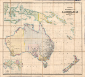
Stanford's Library Map of Australasia.
$8,500.00
Acquire
- Digital Map Information
- Suitable for large format printing
- File Size: 129.08 MB
- File Type: ZIP / TIFF
- ICC color profile embedded
- Delivered instantly via download link
The astounding 1859 first edition of A. Kieth Johnston and Edward Stanford's large-format Library Map of Australasia, comprising Australia, New Zealand, and New Guinea. This is arguably the largest and most detailed general map of Australia to appear in the 19th century, issued a month before the official establishment of Queensland in June 1859. (more details)
Reverend Alexander Williamson's 1860s travels through Manchuria.
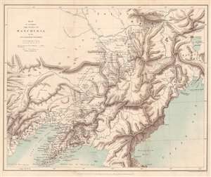
Map to accompany the Notes on Manchuria by the Rev. Alexander Williamson.
$300.00
Acquire
- Digital Map Information
- Suitable for large format printing
- File Size: 8.25 MB
- File Type: ZIP / TIFF
- ICC color profile embedded
- Delivered instantly via download link
This is an 1870 John Murray map of Manchuria, China - a region that within 20 years would become the stage for a global power struggle between Imperial Japan, Qing China, and Tzarist Russia. The map was drawn to accompany a paper written by Reverend Alexander Williamson and published in The Journal of the Royal Geographical Society. Parallel lines trace Williamson's travels through the region. Cities, towns, and villages are labeled throughout, including Mukden (Shenyang). The region's impressive topography leaps off the page, and its extensive river network is well illustrated. Part of the Willow Palisade (labeled here as Barrier of Stakes or Palisade) appears and traverses a southwest-northeast line through the map's center. The Willow Palisade, a system of embankments and ditches planted with willows, was built by the Qing in the late 17th century and separated traditionally Manchu areas from Mongol territory. (more details)
Landmark exploration of a previously unmapped region of Africa.
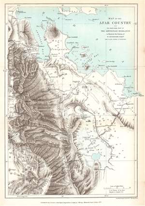
Map of the Afar Country and the Northern Part of the Abyssinian Highlands to illustrate the Journey of W. Munzinger Esqure. Late H.B.M. Consul at Massowa.
$200.00
Acquire
- Digital Map Information
- Suitable for large format printing
- File Size: 5.73 MB
- File Type: ZIP / TIFF
- ICC color profile embedded
- Delivered instantly via download link
This is an 1870 John Murray map of the Afar Country, comprising parts of modern-day Eritrea and Ethiopia. The map was created to accompany a The Journal of the Royal Geographical Society paper by Werner Munzinger. Dashed tracks follow Munzinger's groundbreaking exploration of the little known region. (more details)
'One of the most expensive affairs of honor in history.'
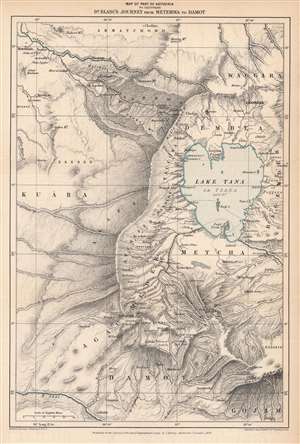
Map of Part of Abyssinia to Illustrate Dr. Blanc's Journey from Metemma to Damot.
$250.00
Acquire
- Digital Map Information
- Suitable for large format printing
- File Size: 7.51 MB
- File Type: ZIP / TIFF
- ICC color profile embedded
- Delivered instantly via download link
This is an 1870 Edward Stanford map of the Amara region of northwestern Abyssinia (Ethiopia) highlighting the route taken by Henry Blanc, one of the British subjects kidnapped by Ethiopian Emperor Tewodros II (r. 1855 - 1868), an act that prompted a punitive expedition by Great Britain in 1867 – 1868. (more details)
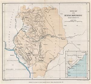
Sketch Map of the Bustar Dependency.
$150.00
Acquire
- Digital Map Information
- Suitable for large format printing
- File Size: 1.82 MB
- File Type: ZIP / TIFF
- ICC color profile embedded
- Delivered instantly via download link
This is a fine example of the 1879 Stanford Map of the Bustar Dependency (Bastar State) in central India. Centered on the Indravati River, the map covers from Chanda District in Hyderabad to the Jeypur estate (Jeypore) in Orissa. Inset map of the region is ... (more details)
With Delightful Manuscript Notation Describing a Family's Bermuda Vacation in August 1921
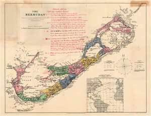
The Bermudas Prepared at Stanford's Geographical Establishment, London for Lee and Co., Hamilton, Bermuda.
$500.00
Acquire
- Digital Map Information
- Suitable for large format printing
- File Size: 16.73 MB
- File Type: ZIP / TIFF
- ICC color profile embedded
- Delivered instantly via download link
This is Stanford's map of Bermuda, printed in London on behalf of Bermuda publisher Donald M. Lee. (more details)
A perilous course through Siam.
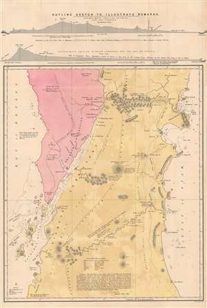
Outline Sketch to Illustrate Remarks.
$2,000.00
Acquire
- Digital Map Information
- Suitable for large format printing
- File Size: 39.93 MB
- File Type: ZIP / TIFF
- ICC color profile embedded
- Delivered instantly via download link
This is a scarce 1883 folding map of the Isthmus of Kra, including the border between British Burma and Siam, and its surrounding waters that appeared in Alfred John Loftus' book Notes of a Journey across the Isthmus of Kra. Although remarkably detailed in some respects, it also demonstrates the challenges in surveying the dense jungle and mountain terrain. (more details)
'The most perfect map of British Columbia which has thus far been placed before the Public.' - Kains
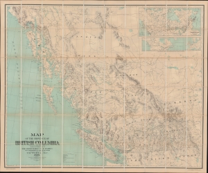
Map of the Province of British Columbia.
$3,000.00
Acquire
- Digital Map Information
- Suitable for large format printing
- File Size: 125.86 MB
- File Type: ZIP / TIFF
- ICC color profile embedded
- Delivered instantly via download link
This is Gotfred Jörgensen's rare 1895 wall map of British Columbia, the 3rd official map of the province and the best to appear in the 19th century. Jörgensen's map represents a significant advancement over earlier regional maps, offering both greater size and more up-to-date detail. Thomas Kains, Surveyor General of British Columbia, rightly described 'the most perfect map of British Columbia which has thus far been placed before the Public.' The map is significant, emerging as British Columbia, newly connected via railroads and steamship lines, was negotiating its place, both within Canada and globally. (more details)
The arteries of late Victorian London.
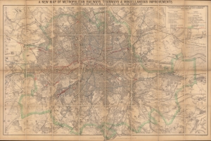
A new map of metropolitan railways, tramways and miscellaneous improvements.
$800.00
Acquire
- Digital Map Information
- Suitable for large format printing
- Full resolution TIFF file
- ICC color profile embedded
- Delivered instantly via download link
A large and impressive 1896 Edward Stanford map of late Victorian London highlighting the city's railways, including underground lines and tramways (horse trams), both extant and proposed. It provides an excellent overview of the city, which had grown explosively throughout the 19th century to reach some five million people, six and a half for the entire metropolitan area, by this time. (more details)
Afridi revolt in the Kyber.
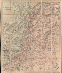
Stanford's Sketch Map of The North-Western Frontier of India.
$1,200.00
Acquire
- Digital Map Information
- Suitable for large format printing
- File Size: 41.73 MB
- File Type: ZIP / TIFF
- ICC color profile embedded
- Delivered instantly via download link
A remarkable 1887 map of northwestern Pakistan and northeastern Afghanistan produced at the height of the Great Game to satisfy British interest in the Tirah Campaign. Centered on Peshawar, the map covers modern-day Khyber Pakhtunkhwa (Khyber Pass), from Fayzabad (Faizabad), Afghanistan, to Jhelum, Pakistan, and parts of Punjab. (more details)
Settling the Borders of British Nigeria.
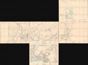
Lake Chad / Nikki / Central Nigeria. / Yola / Cross River.
$1,500.00
Acquire
- Digital Map Information
- Suitable for large format printing
- Full resolution TIFF file
- ICC color profile embedded
- Delivered instantly via download link
A concurrent set of five folding sheets, together forming a map covering central and eastern Nigeria, produced by the Intelligence Division of the British War Office in 1902 (with one map being dated 1905). The maps cover this region as it was roiled by opposition to British encroachments and was being negotiated over between the British and Germans, who controlled the neighboring colony of Kamerun. (more details)
Contest of Empires in the Horn of Africa.
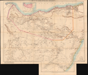
Map of the British Somali-Coast Protectorate.
$950.00
Acquire
- Digital Map Information
- Suitable for large format printing
- File Size: 33.19 MB
- File Type: ZIP / TIFF
- ICC color profile embedded
- Delivered instantly via download link
An impressive large-format folding map of British Somaliland, prepared and published in 1903 by Stanford's Geographical Establishment, London. It presents the region near the end of the 'Scramble for Africa,' when nearly the entire continent was carved up by European colonial powers, except Ethiopia, which also tried to expand into this region to secure its borders. (more details)
Plague in Kashmir, November 1903.
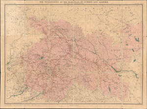
The Territories of the Maharaja of Jummoo and Kashmir with Portions of the Adjoining Countries.
$750.00
Acquire
- Digital Map Information
- Suitable for large format printing
- Full resolution TIFF file
- ICC color profile embedded
- Delivered instantly via download link
This is a separately issued 1903 'Thacker and Spink' and Edward Stanford map of the Jammu and Kashmir region in modern-day India and Pakistan, likely published in reaction to news of a plague outbreak in Kashmir. Though initially published for Duke's Guide to Kashmir, this is a separately-issued example. (more details)
One of the last frontiers in the Scramble for Africa.
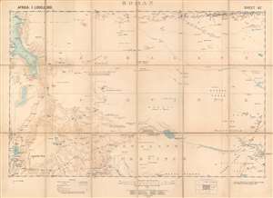
Boran.
$800.00
Acquire
- Digital Map Information
- Suitable for large format printing
- Full resolution TIFF file
- ICC color profile embedded
- Delivered instantly via download link
This is a 1903 British Ordnance Survey / War Office folding map of Boran, today the northeastern portion of Kenya bordering Ethiopia and Somalia. It was made during the 'Scramble for Africa,' when European colonial powers rushed to occupy and claim territory. However, the harsh climate and resistance of local pastoralists to outside rule meant the region long remained a distant frontier to imperial powers. (more details)
First modern victory in war of an Asian over a European power.
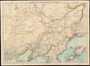
Stanford's Map of the Seat of War in the Far East, 1904.
$900.00
Acquire
- Digital Map Information
- Suitable for large format printing
- File Size: 68.71 MB
- File Type: ZIP / TIFF
- ICC color profile embedded
- Delivered instantly via download link
A scarce 1904 map of China, Manchuria, Mongolia, and northern Korea issued by Stanford's Geographical Establishment to illustrate the theater of the Russo-Japanese War (1904 - 1905). Coverage extends from Beijing to Vladivostok, and from the Amur River to Port Arthur (Lüshunkou), making this one of the most highly detailed and masterful executed contemporaneous maps to illustrate the war. (more details)
Long-Lived and Updated Map.
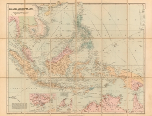
Asiatic Archipelago on Mercator's Projection.
$850.00
Acquire
- Digital Map Information
- Suitable for large format printing
- File Size: 21.47 MB
- File Type: ZIP / TIFF
- ICC color profile embedded
- Delivered instantly via download link
This is John Arrowsmith's map of Southeast Asia and the East Indies in an updated c. 1906 issue published by Stanford. This map achieved astonishing longevity via frequent updates, having first appeared in 1832. (more details)
Company Rule in Rhodesia.
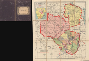
Map of Rhodesia under the Administration of the British South Africa Company / Rhodesia.
$750.00
Acquire
- Digital Map Information
- Suitable for large format printing
- File Size: 17.78 MB
- File Type: ZIP / TIFF
- ICC color profile embedded
- Delivered instantly via download link
This is a scarce c. 1908 pocket map of Rhodesia during the era of Company Rule, printed by Waterlow and Sons for Edward Stanford. It reflects a period when the British South Africa Company was at the height of its influence, and when shifting relations among colonial powers were drawing the British and Portuguese closer together in Africa. (more details)
Primary artery of the Russian Civil War.
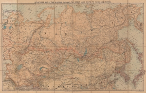
Stanford's Map of the Siberian Railway, the Great Land Route to China and Korea.
$1,200.00
Acquire
- Digital Map Information
- Suitable for large format printing
- Full resolution TIFF file
- ICC color profile embedded
- Delivered instantly via download link
This is a 1919 Edward Stanford map of Russia and the Trans-Siberian Railway - issued at the height of the Russian Civil War. Red lines, with major stops noted, highlight the extraordinary achievement of Russian railway engineers. The completion of a railway network across the world's largest continent opened Siberia to settlement, brought Russian influence to China, led to the Russo-Japanese War (1904 - 1905), and influenced the outcome of the Russian Civil War (1917 - 1920). (more details)
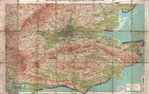
Bartholomew's 'Quarter Inch to Mile' Coutour Road Map of the Environs of London.
$200.00
Acquire
- Digital Map Information
- Suitable for large format printing
- File Size: 36.11 MB
- File Type: ZIP / TIFF
- ICC color profile embedded
- Delivered instantly via download link
This is a rare c. 1928 map of London, England, and its environs. Covers from Portsmouth eastward as far as Ramsgate and northward as far as Oxford and Colchester. Includes London with basic streets and roadways noted Includes routes for road, bicycle ... (more details)
Steamship travel amidst impending war.
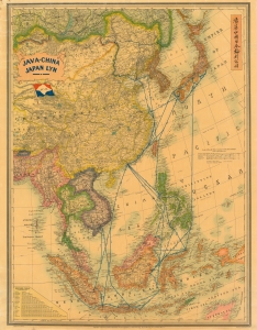
Java-China Japan Lyn. / Map Showing Routes Ports of Call and services of the java-China Japan Line.
$1,800.00
Acquire
- Digital Map Information
- Suitable for large format printing
- File Size: 231.36 MB
- File Type: ZIP / TIFF
- ICC color profile embedded
- Delivered instantly via download link
A dramatic large-scale c. 1939 Edward Stanford map promoting the Java-China Japan (JCJL) steamship line (渣華中國日本輪船公司). It serves as a reminder of the interconnections throughout East Asia that persisted despite the geopolitical tensions in the 1930s. (more details)