Digital Image: 1900 Bretschneider Map of China w/ author's own manuscript annotations
China-bretschneider-1900_d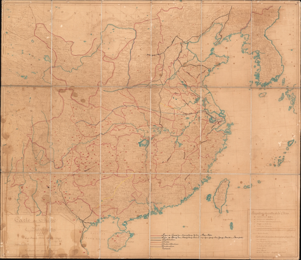

Title
Carte de Chine par E. Bretschneider 1900.
1900 (dated) 25.75 x 29.75 in (65.405 x 75.565 cm) 1 : 4500000
1900 (dated) 25.75 x 29.75 in (65.405 x 75.565 cm) 1 : 4500000
Description
FOR THE ORIGINAL ANTIQUE MAP, WITH HISTORICAL ANALYSIS, CLICK HERE.
Digital Map Information
Geographicus maintains an archive of high-resolution rare map scans. We scan our maps at 300 DPI or higher, with newer images being 600 DPI, (either TIFF or JPEG, depending on when the scan was done) which is most cases in suitable for enlargement and printing.
Delivery
Once you purchase our digital scan service, you will receive a download link via email - usually within seconds. Digital orders are delivered as ZIP files, an industry standard file compression protocol that any computer should be able to unpack. Some of our files are very large, and can take some time to download. Most files are saved into your computer's 'Downloads' folder. All delivery is electronic. No physical product is shipped.
Credit and Scope of Use
You can use your digial image any way you want! Our digital images are unrestricted by copyright and can be used, modified, and published freely. The textual description that accompanies the original antique map is not included in the sale of digital images and remains protected by copyright. That said, we put significant care and effort into scanning and editing these maps, and we’d appreciate a credit when possible. Should you wish to credit us, please use the following credit line:
Courtesy of Geographicus Rare Antique Maps (https://www.geographicus.com).
How Large Can I Print?
In general, at 300 DPI, you should at least be able to double the size of the actual image, more so with our 600 DPI images. So, if the original was 10 x 12 inches, you can print at 20 x 24 inches, without quality loss. If your display requirements can accommodate some loss in image quality, you can make it even larger. That being said, no quality of scan will allow you to blow up at 10 x 12 inch map to wall size without significant quality loss. For more information, it is best consult a printer or reprographics specialist.
Refunds
If the high resolution image you ordered is unavailable, we will fully refund your purchase. Otherwise, digital images scans are a service, not a tangible product, and cannot be returned or refunded once the download link is used.
Cartographer
Emilii Vasil'evich Bretschneider (Эмилий Васильевич Бретшнейдер; February 2, 1833 - May 12, 1901), commonly known by his francophone name Émile, was a Russian botanist, sinologist, medical doctor, and cartographer active in the second half of the 19th century. Bretschneider was Russian, but of German-Latvian descent. Bretschneider was bornin Bankaushof, today Benkavas muiža, Saldus novads, Latvia. He received a medical degree in Estonia from the University of Dorpat. From 1862 to 1865 he served as physician to the Russian delegation in Tehran. In the 1866 he was transferred to the same position at the Russian delegation in Beijing. There he became obsessed with Chinese language and culture, particularly as regards Chinese scientific and botanical knowledge, and became one of the foremost sinologists of his day. He published translations of numerous Chinse words, as well as studies on botany, Chinese history, Chinese-Arab relations, and a monograph on Fu Sang that expounded on the notion that the Chinese colonized America. He also established deep connections with the Chinese Imperial Court and the various expatriate communities, allowing him to issue several important maps of China - among the most accurate of the late Qing period. Bretschneider retired to St. Petersburg where he died in 1901. More by this mapmaker...