Digital Image: 1859 Rey Historical / Biblical Case Map of the Holy Land, Tribe of Judah
TribudeJuda-rey-1859_d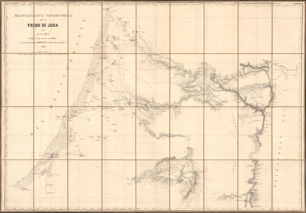


Title
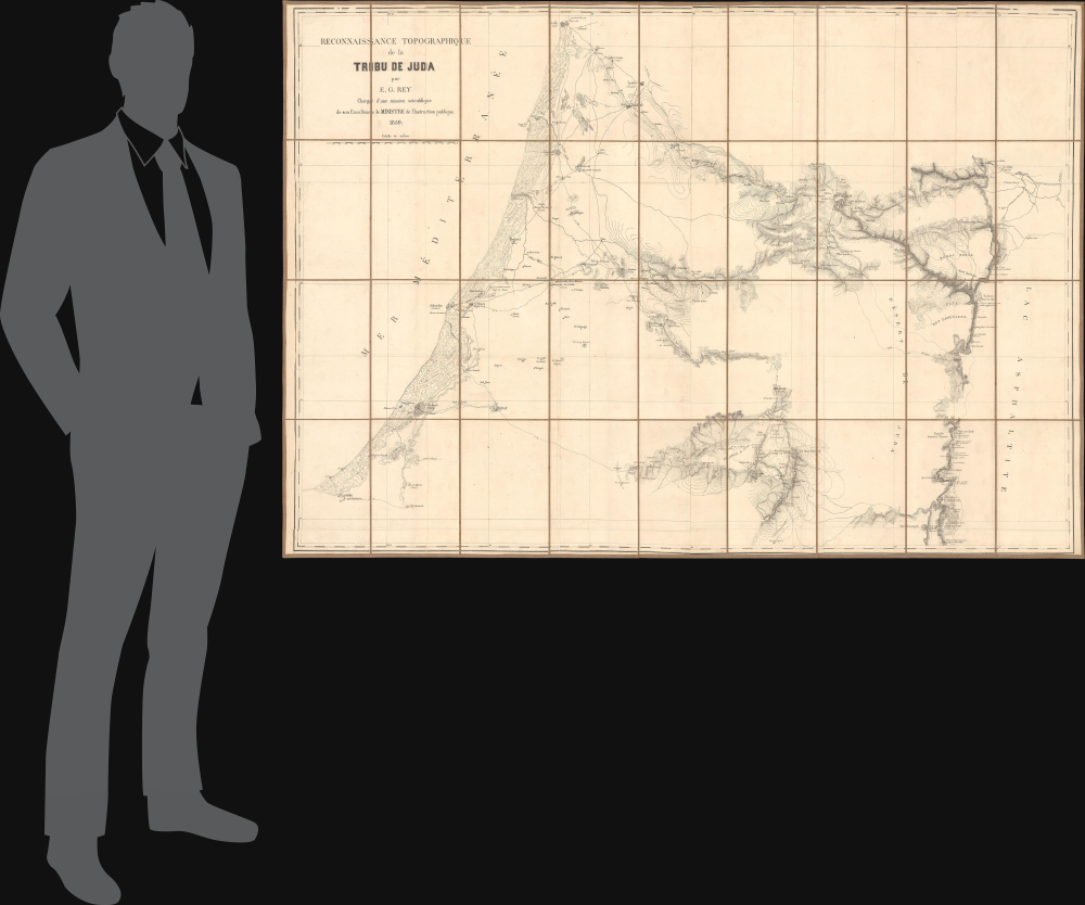
Reconaissance topographique de la Tribu de Juda.
1859 (dated) 35 x 50 in (88.9 x 127 cm) 1 : 110000
1859 (dated) 35 x 50 in (88.9 x 127 cm) 1 : 110000
Description
FOR THE ORIGINAL ANTIQUE MAP, WITH HISTORICAL ANALYSIS, CLICK HERE.
Digital Map Information
Geographicus maintains an archive of high-resolution rare map scans. We scan our maps at 300 DPI or higher, with newer images being 600 DPI, (either TIFF or JPEG, depending on when the scan was done) which is most cases in suitable for enlargement and printing.
Delivery
Once you purchase our digital scan service, you will receive a download link via email - usually within seconds. Digital orders are delivered as ZIP files, an industry standard file compression protocol that any computer should be able to unpack. Some of our files are very large, and can take some time to download. Most files are saved into your computer's 'Downloads' folder. All delivery is electronic. No physical product is shipped.
Credit and Scope of Use
You can use your digial image any way you want! Our digital images are unrestricted by copyright and can be used, modified, and published freely. The textual description that accompanies the original antique map is not included in the sale of digital images and remains protected by copyright. That said, we put significant care and effort into scanning and editing these maps, and we’d appreciate a credit when possible. Should you wish to credit us, please use the following credit line:
Courtesy of Geographicus Rare Antique Maps (https://www.geographicus.com).
How Large Can I Print?
In general, at 300 DPI, you should at least be able to double the size of the actual image, more so with our 600 DPI images. So, if the original was 10 x 12 inches, you can print at 20 x 24 inches, without quality loss. If your display requirements can accommodate some loss in image quality, you can make it even larger. That being said, no quality of scan will allow you to blow up at 10 x 12 inch map to wall size without significant quality loss. For more information, it is best consult a printer or reprographics specialist.
Refunds
If the high resolution image you ordered is unavailable, we will fully refund your purchase. Otherwise, digital images scans are a service, not a tangible product, and cannot be returned or refunded once the download link is used.
Cartographer
Alban-Emmanuel Guillaume Rey (May 28, 1837 - April 4, 1916) was a French baron, archaeologist, topographer, and Orientalist recognized as a foundational figure in the archaeology of the Crusades. He is particularly noted for his scholarly contributions on medieval fortifications and the French colonial presence in Syria during the twelfth and thirteenth centuries. Rey was born in Chaumont, Haute-Marne, France. In 1856, he was invited by one of his teachers to attend a trip organized by Œuvre des Écoles d'Orient (now known as Œuvre d'Orient) where he began a lifelong study of Arabic. After the trip's completion, he helped complete a French-Arabic dictionary compiled by the Œuvre, an organization he would remain involved with for the rest of his life (sitting on its Board of Directors for nearly 60 years). He also became involved with several archaeological and scholarly societies at this time, including the Société savante des antiquaires de France. In 1857-1858, at the age of twenty, Rey undertook his first journey to Syria, focusing on the Hauran region. He would return several times, most notably in August 1859, when he traveled alongside photographer Louis de Clercq, who had been commissioned by the French Ministry of Education to document the expedition. During this mission, Rey produced a significant large-scale map of central Palestine (our map), reflecting his early commitment to rigorous archaeological and topographic research in the Near East. Rey became known as a pioneer and special authority on the archaeology of the Crusaders and Crusader states in the Levant, work for which he was knighted by the Pope. Rey also was admitted to the French Légion d'honneur. He served as an officer in the Franco-Prussian War, but after the war returned to his researches, keeping up a steady output of publications into the early 20th century. More by this mapmaker...