
Ashmun, Jehudi (sold)
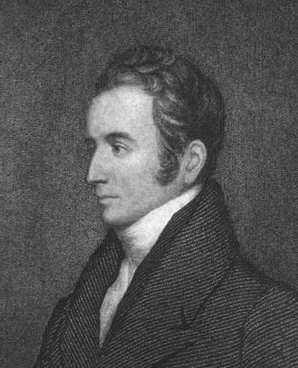
Jehudi Ashmun (April 21, 1794 - August 26, 1828) was an American missionary, religious leader, and social reformer active in New England and Liberia in the early 19th century. Ashmun was born in Champlain, New York and attended Middelbury College and the University of Vermont. He was subsequently ordained as minister in Bangor Maine, to which he relocated for his first position, at the Bangor Theological Seminary, in 1818. Ashmun became involved with the American Colonization Society, a movement to resettle free people of color from the United States to Liberia. He moved to Liberia to support the movement in 1822, serving as de facto governor and the US. Government Agent in the region. He was instrumental in writing a constitution for Liberia that enabled African Americans to hold positions in the government. African Americans and their descendants, known as Americo-Liberians, dominated Liberian politics well into the late 20th century. Ashmun remained in Liberia until 1828 when, suffering from ill heath, probably malaria, he returned to the United States, dying shortly thereafter.
First map of Liberia.
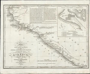
Map of the West Coast of Africa, from Sierra Leone to Cape Palmas; including the Colony of Liberia: Compiled chiefly from the surveys and observations of the Late Revd. J. Ashmun.
sold
- Digital Map Information
- Suitable for large format printing
- File Size: 5.42 MB
- File Type: ZIP / TIFF
- ICC color profile embedded
- Delivered instantly via download link
This is the most important early map of Liberia, first issued in 1830, shortly after the colony's founding. This map was published by ardent 'Colonization' supporter Anthony Finley, based upon the cartography of the American Colonization Society forerunner Jehudi Ashmun. (more details)
First map of Liberia.
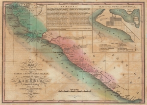
Map of the West Coast of Africa, from Sierra Leone to Cape Palmas; including the Colony of Liberia: Compiled chiefly from the surveys and observations of the Late Revd. J. Ashmun.
sold
- Digital Map Information
- Suitable for large format printing
- Full resolution TIFF file
- ICC color profile embedded
- Delivered instantly via download link
The most important early map of Liberia issued shortly after its founding. This map was published in 1830 by ardent 'Colonization' supporter Anthony Finley based upon the cartography of Jehudi Ashmun. The map depicts the west African coast from Freetown, Sierra Leone, to Cape Palmas. Light red shading indicates territory claimed as Liberia by the American Colonization Society (ACS), while the darker red strip, about 150 miles, indicates regions actually under ACS control. The map is derived from cartography produced by Jehudi Ashmun, an agent of the U.S. Government and the ACS who traveled extensively throughout the region in an attempt to acquire lands and organize peaceful relations with the generally unwelcoming established tribal kingdoms. (more details)
The first and most important map of the colony of Liberia.
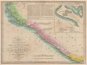
Map of the West Coast of Africa, from Sierra Leone to Cape Palmas; including the Colony of Liberia: Compiled chiefly from the surveys and observations of the Late Revd. J. Ashmun.
sold
- Digital Map Information
- Suitable for large format printing
- DPI: 600
- File Size: 7.1 MB
- File Type: ZIP / TIFF
- ICC color profile embedded
- Delivered instantly via download link
The most important early map of Liberia issued shortly after its founding. This map was published in 1830 by Anthony Finley based upon the cartography of Jehudi Ashmun. The map covers the west African coast from Freetown, Sierra Leone, to Cape Palmas. Light red shading indicates territory claimed as Liberia by the American Colonization Society (ACS), while the darker red strip, about 150 miles, indicates regions actually under ACS control. The map is derived by cartography produced by Jehudi Ashmun, an agent of the U.S. Government and the ACS who traveled extensively throughout the region in an attempt to acquire lands and organize peaceful relations with the generally unwelcoming established tribal kingdoms. (more details)