
Atwood, Mary Hall (sold)

Mary Hall Atwood (February 20, 1894 - October 4, 1950) was an American artist who specialized in murals and map-making. Born in Chicago, Atwood studied in Paris at the Academie Julian, where she was a student of Robert-Fleury and Jean Francois Millet. She moved to Los Angeles in the late 1920s and soon gained a reputation for the decorative maps of Southern California, which she called 'Travel and Pleasure Maps'. She was an active member of the California Watercolor Society and in her travels throughout the Southwest United States, completed a mural commission for the Phoenix Rotary Club. Atwood died in Glendale California in 1950.
The Olympics meet Los Angeles.
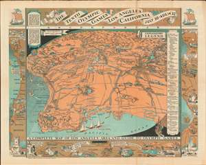
The Tenth Olympic Games Los Angeles California July 30 - Aug. 14 '32. A Complete Map of Los Angeles Area and Guide to Olympic Games.
sold
- Digital Map Information
- Suitable for large format printing
- Full resolution TIFF file
- ICC color profile embedded
- Delivered instantly via download link
This is a 1932 Mary Hall Atwood pictorial map of Los Angeles and vicinity created for attendees of the Tenth Olympic Games. Oriented toward the northeast, the map depicts the region from Ventura and Simi Valley to Basset, Covina, and Azusa, and from Newhall and the Angeles National Forest to Palos Verdes and the Pacific Ocean. Los Angeles proper, situated near the center, is surrounded by other communities, including Van Nuys, Burbank, Glendale, Pasadena, and Long Beach. Both U.C.L.A. and the University of Southern California are labeled, as are the Rose Bowl and the Los Angeles Memorial Coliseum, then known as the Olympic Stadium. A legend along the right border lists all the Olympic events and where they will be held. (more details)
Prepared for the 10th Olympic Games in Los Angeles.
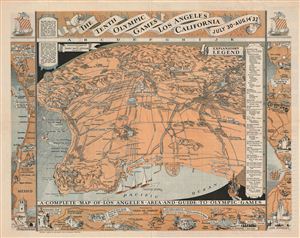
The Tenth Olympic Games Los Angeles California July 30 - Aug 14 '32.
sold
- Digital Map Information
- Suitable for large format printing
- File Size: 19.01 MB
- File Type: ZIP / TIFF
- ICC color profile embedded
- Delivered instantly via download link
An uncommon printed map of Los Angeles prepared by Mary Hall Atwood for the 1932 Tenth Olympic Games. The map covers the greater Los Angeles area from Ventura to the Pacific and From Point Vincente and Long Point to Azusa. Various points of import to the Olympics ... (more details)
Illustrates both the Rose Bowl and the Los Angeles Memorial Coliseum.
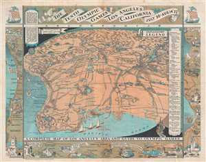
The Tenth Olympic Games Los Angeles California July 30 - Aug. 14 '32. A Complete Map of Los Angeles Area and Guide to Olympic Games.
sold
- Digital Map Information
- Suitable for large format printing
- File Size: 11.31 MB
- File Type: ZIP / TIFF
- ICC color profile embedded
- Delivered instantly via download link
This is a 1932 Mary Hall Atwood pictorial map of Los Angeles and vicinity created for attendees of the Tenth Olympic Games. Oriented toward the northeast, the map depicts the region from Ventura and Simi Valley to Basset, Covina, and Azusa, and from Newhall and the ... (more details)