
Brawer, Abraham Jacob (sold) (ברור אברהם יעקב)
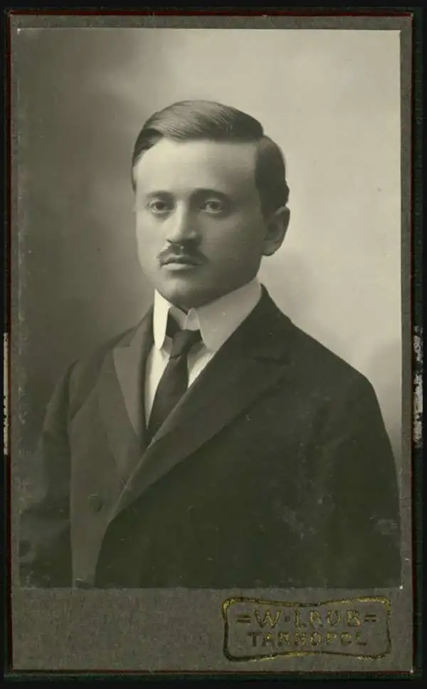
Abraham Jacob Brawer (ברור אברהם יעקב; March 10, 1884 - November 8, 1975) was Ukrainian-Israeli cartographer and historian active in Israel in through the 20th century. Brawer was born in Stry, Ukraine. He studied history and geography a the University of Vienna simultaneously with religious studies at the Rabbinical Seminary of Vienna. He earned a rabbinical certification as well as doctorates in history and geography. He emigrated to Eretz, Israel in 1911, later settling in Jerusalem. During World War I he was the directory of the Jewish School of Thessaloniki. Later he moved to Istanbul, where he served as a Rabbi to the resident Ashkenazi community. He returned to Eretz, Israel in 1920, taking work the Haaretz Daily (הָאָרֶץ), Israel's oldest Hebrew newspaper. He a strong proponent of adopting the Hebrew language not only for scripture, but also for academic and daily life. He then taught at the Mizrahi Teachers' Seminary in Jerusalem until he retired in 1950. He was one of the three founding members of the Israel Exploration Society and its first honorary secretary.
AKA: ברור אברהם יעקב
Early urban planning in Tel Aviv.
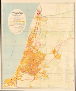
תל-אביב והסביבה הקרובה / [Tel Aviv and the Surrounding Area].
sold
- Digital Map Information
- Suitable for large format printing
- File Size: 28.25 MB
- File Type: ZIP / TIFF
- ICC color profile embedded
- Delivered instantly via download link
A rare Zionist Hebrew-language Abraham Jacob Brawer map of Tel Aviv, Israel, issued in 1934, the year Tel Aviv became an independent municipality separate from Jaffa. The map illustrates the early development of the new Jewish city north of old Jaffa in response to the housing demands of the Fifth Aliyah. (more details)
Early urban planning in Tel Aviv.
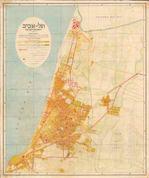
Tel Aviv and the Immediate Environs. / והסביבה הקרובה תל - אביב
sold
- Digital Map Information
- Suitable for large format printing
- File Size: 43.1 MB
- File Type: ZIP / TIFF
- ICC color profile embedded
- Delivered instantly via download link
A rare Zionist Hebrew language Abraham Jacob Brawer map of Tel Aviv, Israel, dated to 1935, just one year after Tel Aviv became an independent municipality separate of Jaffa. The map illustrates early development of the new Jewish city north of old Jaffa in response to housing demands associated with the Fifth Aliyah. Development of blocks, lands owned by the National Jewish Fund, the growing street grid, and public transportation networks. It even notes the placement of donated trees! Forty-seven important buildings are numbered and correspond to a table on the right side of the map. (more details)
The challenges of wartime cartography.
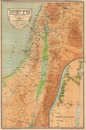
ארץ ישראל / [Land of Israel].
sold
- Digital Map Information
- Suitable for large format printing
- File Size: 64.15 MB
- File Type: ZIP / TIFF
- ICC color profile embedded
- Delivered instantly via download link
This is a rare c. 1949 Abraham Brawer map of Israel and surrounding territories, made soon after the nation's independence in 1948. Though produced in a fraught and rapidly changing political and military context, the map focuses primarily on topography and climate. (more details)