
Butler, Samuel
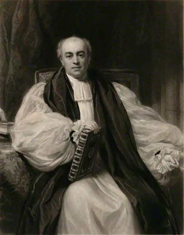
Samuel Butler (January 30, 1774 - December 4, 1839) was a British cleric, historian, and schoolmaster active in the late 18th and early 19th centuries. Butler is best known as a classical scholar, in which field he received numerous awards for meritorious achievement. Around 1798 he was assigned the post of headmaster at the prestigious Shrewsbury School. Having attained a Doctorate of Divinity in 1811, Butler became a clergyman in Kenilworth. He later became the Archdeacon of Derby and in 1836 the Bishop of Lichfield. Even as a clergyman Butler retained an interest in education and published several classical and modern geographies most of which went through many editions and were popular in schools across England.
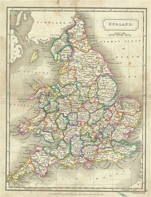
England.
$100.00
Acquire
- Digital Map Information
- Suitable for large format printing
- DPI: 300
- File Size: 3.83 MB
- File Type: ZIP / TIFF
- ICC color profile embedded
- Delivered instantly via download link
This is a fine example of Samuel Butler's 1822 map of england. It covers both england and Wales from Northumberland to Cornwall and includes the Isle of Man. At this time in history, the Kingdom of Great Britain and the Kingdom of Ireland had been consolidated ... (more details)
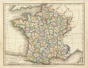
France.
$100.00
Acquire
- Digital Map Information
- Suitable for large format printing
- DPI: 300
- File Size: 3.09 MB
- File Type: ZIP / TIFF
- ICC color profile embedded
- Delivered instantly via download link
This is a fine example of Samuel Butler's 1822 map of France divided into departments. It covers from Le Nord to the eastern Pyrenees and from Finistere to Upper and Lower Rhine. After 1790, the French provincial system was replaced by the department system ... (more details)
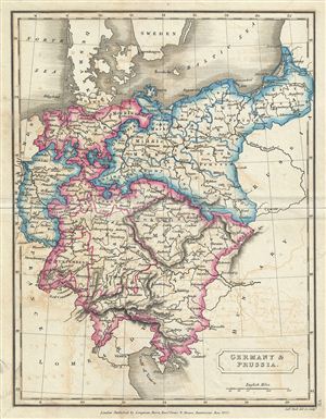
Germany & Prussia.
$100.00
Acquire
- Digital Map Information
- Suitable for large format printing
- DPI: 300
- File Size: 2.9 MB
- File Type: ZIP / TIFF
- ICC color profile embedded
- Delivered instantly via download link
This is a fine example of Samuel Butler's 1822 map of Germany and Prussia. It covers from Holstein and the Baltic Sea south as far as the Gulf of Venice, including the modern day countries of Germany, with parts of Poland, Czech Republic, Austria, Italy and ... (more details)
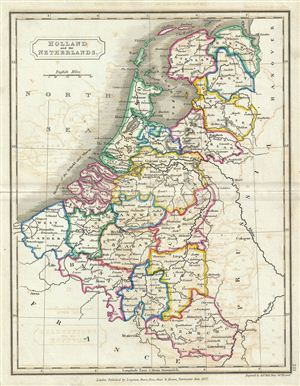
Holland and the Netherlands.
$100.00
Acquire
- Digital Map Information
- Suitable for large format printing
- DPI: 300
- File Size: 2.89 MB
- File Type: ZIP / TIFF
- ICC color profile embedded
- Delivered instantly via download link
This is a fine example of Samuel Butler's 1822 map of the Netherlands (Holland) and Belgium. It covers all of Belgium and Holland from the North Sea to the Kingdom of France. Just a few years after this map was drawn, the Belgian Revolution of 1830 led to ... (more details)
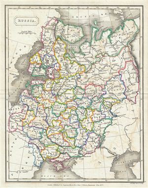
Russia.
$100.00
Acquire
- Digital Map Information
- Suitable for large format printing
- DPI: 300
- File Size: 3.6 MB
- File Type: ZIP / TIFF
- ICC color profile embedded
- Delivered instantly via download link
This is a fine example of Samuel Butler's 1822 map of Russia. It covers the european part of Russia from Lapland to the Caspian Sea and from the Baltic Sea to the Ural Mountains. In 1825, shortly after this map was drawn, Russian army officers, called the ... (more details)