
Collinson, Richard
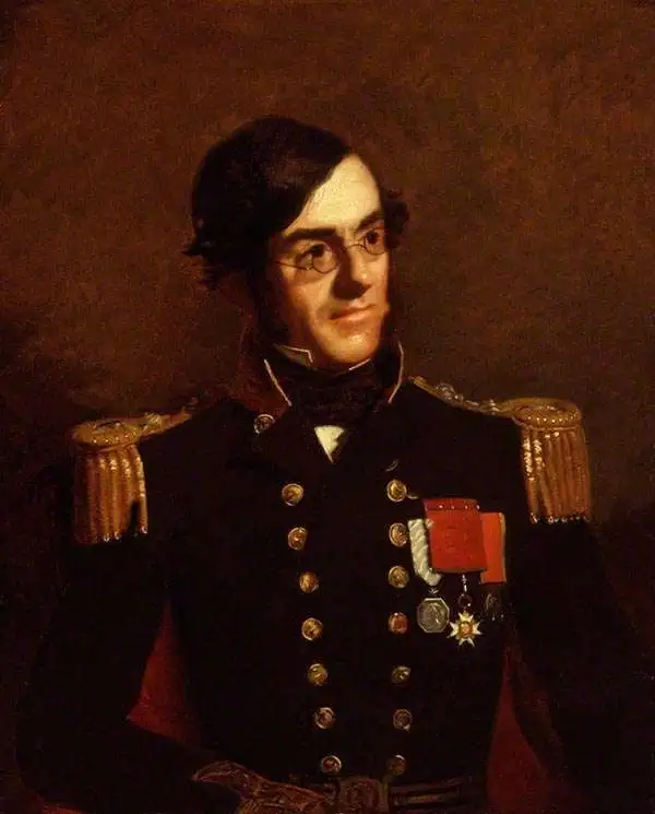
Richard Collinson (November 7, 1811 – September 13, 1883) was an English naval officer, marine surveyor, and Arctic explorer. He was born in Gateshead, Tyne and Wear, England, then part of Durham. He joined the Royal Navy in 1823, at age twelve, and rose in the ranks, becoming a lieutenant in 1835, commander in 1841, and captain in 1842. Collinson was a highly capable captain. He participated with distinction in the First Opium War (1839 - 1842). After the war, along with Commander Henry Kellett, he completed a series of pioneering surveys of the China coast from the Yangtze River to Hong Kong. These he completed between 1842 and 1846 while serving as commander of the HMS Plover. In 1850, he was sent north in command of the HMS Enterprise to search for survivors of the Sir John Franklin expedition. Although he came quite close, he never found Franklin's lost men and returned to England without success. Nonetheless, he was honored by the Royal Geographical Society for his surveys in the Arctic and proof that it was navigable from the Behring Strait to King William's Land. Collinson was Knighted in 1875, the same year in which he retired from active duty with the rand of Admiral. Collinson died in September of 1883.
Treaty Ports in China.
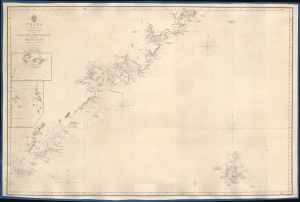
China Sheet IV. Eastern Coast from Chauan Bay to Port Matheson Including the Pescadore Islands.
$1,200.00
Acquire
- Digital Map Information
- Suitable for large format printing
- DPI: 600
- File Size: 24.79 MB
- File Type: ZIP / TIFF
- ICC color profile embedded
- Delivered instantly via download link
This is an 1849 British Admiralty Hydrographic Office nautical map of the Fujian coast of China. First published in 1844, only two years after the end of the First Opium War (1839 - 1842), Xiamen (Amoy) was the first of five treaty ports opened to the Europeans after the signing of the Treaty of Nanking, officially opening China to European traders. Before this treaty, only one port, Guangzhou, was open to European traders. Thus, this chart provided necessary details for mariners and traders taking advantage of this new market. (more details)
Charting the Chinese Coast, in War and Peace.
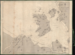
Kintang Channel.
$900.00
Acquire
- Digital Map Information
- Suitable for large format printing
- DPI: 600
- File Size: 633.74 MB
- File Type: ZIP / TIFF
- ICC color profile embedded
- Delivered instantly via download link
A remarkable 1849 first edition example of Richard Collinson's important blueback nautical chart or map of the coasts off Ningbo (Ning-po), between the Chinese mainland and Zhoushan (Chusan). These waters had long been important for China's interactions with the outside world and formed a strategic point of control during the First Opium War (1839 - 1842). (more details)
Two significant rarities - Saigon and Shanghai - back to back.
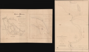
Carte de la Rivière de Saigon (Cochinchine). / Plan du Band de Corail (rivière de Saigon). / Plan de al Rivière de Woosung Levé en 1842 Par les Capitaines H. Kellet and R. Collinson, de la Marine Anglaise.
$7,500.00
Acquire
- Digital Map Information
- Suitable for large format printing
- Full resolution TIFF file
- ICC color profile embedded
- Delivered instantly via download link
This is a remarkable set of back-to-back maps - both are significant in different ways. The most interesting is a finely-executed c. 1860 manuscript chart detailing river approaches to Saigon (Ho Chi Min City). On the verso (or recto, depending) is an 1850 printed nautical chart of the approaches to Shanghai based on the cartography of the First Opium War (1839 - 1842). Both maps are significant, with the manuscript taking primacy as, in all likelihood, it is the first modern hydrographic survey of the Song Sai Gon Estuary. (more details)
Hong Kong issued shortly after the acquisition of Kowloon.
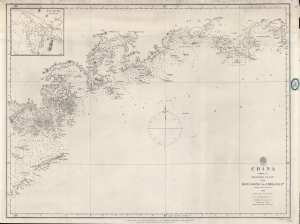
China Sheet II Eastern Coast from Hong Kong to Chelang Pt.
$2,200.00
Acquire
- Digital Map Information
- Suitable for large format printing
- File Size: 21.93 MB
- File Type: ZIP / TIFF
- ICC color profile embedded
- Delivered instantly via download link
A rare 1861 British Admiralty / Richard Collinson nautical map covering the coast of China around Hong Kong. It was issued shortly after the Second Opium War (1856 - 1860) and the British acquisition of Kowloon (which is labeled). (more details)
Just after the Second Opium War.
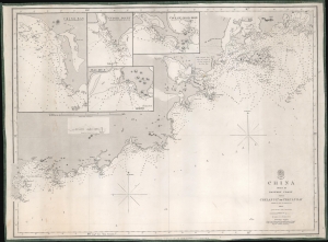
China Sheet III. Eastern Coast from Chelang Pt. to Chauan Bay.
$950.00
Acquire
- Digital Map Information
- Suitable for large format printing
- File Size: 22.28 MB
- File Type: ZIP / TIFF
- ICC color profile embedded
- Delivered instantly via download link
This is a rare 1863 British Admiralty nautical map of Guangdong, China, by Sir Richard Collinson. It was issued in the wake of the Second Opium War (1856 - 1860) and the signing of the 1860 Convention of Peking - an event that led to an explosion of foreign trade with China. (more details)