
Dufrenoy, Eugène
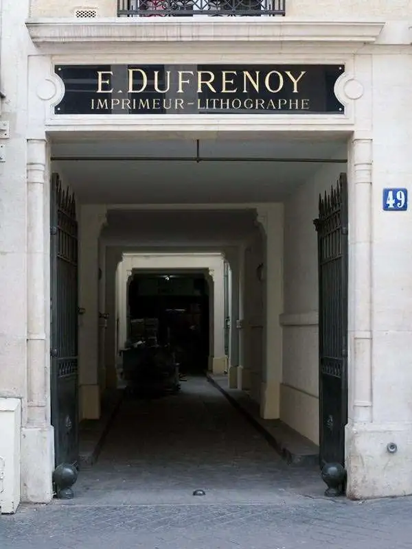
Eugène Dufrenoy (January 21, 1834 - 190x), aka Dufrenois, was a French printer, lithographer, and engraver active in Paris during the second half of the 19th and the early 20th centuries. Dufrénoy born in Bourg-la-Reine, in what is today the southern suburbs of Paris. He was based, for at least part of his career, at 34 Rue du Four, Paris. In 1881 Dufrénoy acquired a large space at 49 Rue du Montparnasse. This space still operates as a printshop with Dufrénoy's old presses as IDEM Paris. ˜
The Desert Track to Kordofan.
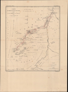
Carte du Cordofan et du pays des Noubas.
$350.00
Acquire
- Digital Map Information
- Suitable for large format printing
- File Size: 10.97 MB
- File Type: ZIP / TIFF
- ICC color profile embedded
- Delivered instantly via download link
An 1874 map of the White Nile, taking in Khartoum and El-Obeid, drawn by Stanislao Carcereri for Les Missions Catholiques, a missionary publication. It depicts the travels of Carcereri and his fellow Camillian missionaries, who established the first Christian churches in the region. (more details)
Stunning Art Deco Map of Paris.
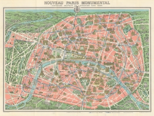
Nouveau Paris Monumental. Itinéraire Pratique de l'Étranger dan Paris.
$400.00
Acquire
- Digital Map Information
- Suitable for large format printing
- Full resolution TIFF file
- ICC color profile embedded
- Delivered instantly via download link
This is a c. 1928 A. Leconte pictorial monumental map of Paris, France. The map highlights monuments and other attractions throughout the City of Light, as well as the city's growing Metro network. (more details)
Includes a detailed plan of the Paris International Colonial Exposition on verso - which included a reconstruction of Angkor Wat.
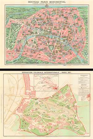
Nouveau Paris Monumental. / Exposition Coloniale Internationale - Paris 1931.
$350.00
Acquire
- Digital Map Information
- Suitable for large format printing
- Full resolution TIFF file
- ICC color profile embedded
- Delivered instantly via download link
This is a 1931 Leconte and Guilmin pictorial map of Paris with a map of the 1931 Paris International Colonial Exposition on the verso. (more details)
Celebrating the Empire from Occupied France.
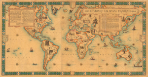
L'Empire Colonial Francais, 1506 - 1940.
$6,500.00
Acquire
- Digital Map Information
- Suitable for large format printing
- Full resolution TIFF file
- ICC color profile embedded
- Delivered instantly via download link
This is a highly scarce, visually stunning, and very large-format (38.25 x 73.25 in.) wall map of the world highlighting the French colonial empire, prepared by the cartographic firm Girard et Barrère. Curiously, it was produced in March 1944, when France itself was under German occupation and the empire was divided against itself among loyalists of Vichy and Free France. (more details)