
Gist, Christopher (sold)
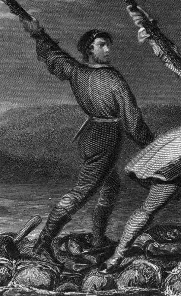
Christopher Gist (1706–1759) was an explorer, surveyor, and frontiersman in Colonial America. He was one of the first English explorers of the Ohio River valley, and provided the first detailed description of that country to colonists in the Thirteen Colonies. Little is known of his education as a surveyor, which was probably received from his father Richard Gist, who helped lay out the plan for the city of Baltimore. By 1750 Gist had settled in northern North Carolina near the Yadkin River; that year, he was hired by the Ohio Company to explore the Ohio Country as far as the present location of Louisville, Kentucky; he mapped Ohio betweeen the present day location of Pittsburgh to the Miami River. In 1753 he accompanied George Washington on his mission to convince the French to abandon Ohio; during their travels on this futile effort, Gist saved Washington's life twice - once from drowning in the frozen Allegheny River, and once from Indian attack.
In 1754 Gist accompanied Washington and the Virginia Regiment in their attempt to forcibly drive the French from Ohio, resulting in their defeat at the hands of the French at Fort Necessity. Gist was also part of the Braddock Expedition during its 1755 defeat by the French and their Native American allies. Gist died in 1759, either in Carolina or Georgia, of smallpox.
In 1754 Gist accompanied Washington and the Virginia Regiment in their attempt to forcibly drive the French from Ohio, resulting in their defeat at the hands of the French at Fort Necessity. Gist was also part of the Braddock Expedition during its 1755 defeat by the French and their Native American allies. Gist died in 1759, either in Carolina or Georgia, of smallpox.
Best colonial map of Virginia and Maryland.
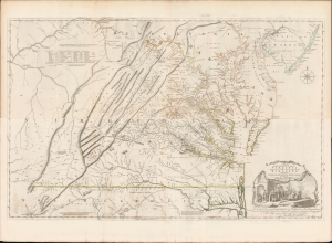
A Map of the most Inhabited part of Virginia containing the whole Province of Maryland with Part of Pensilvania, New Jersey and North Carolina drawn by Joshua Fry and Peter Jefferson in 1775.
sold
- Digital Map Information
- Suitable for large format printing
- Full resolution TIFF file
- ICC color profile embedded
- Delivered instantly via download link
This is the monumental 1775 Fry/Jefferson map of Virginia and Maryland, the most important colonial map of Virginia, in its original four-sheet English version. Drawn by Joshua Fry and Peter Jefferson in 1751 and first printed in 1753, this was the first accurate survey of the interior of Virginia. It was the first printed map to approximate the parallel ridges and valleys of the Appalachian Mountains, and the first to accurately depict the Blue Ridge Mountains. Following the revision of the map in 1755, this was the first map to include Virginia's road system, also marking routes used by frontier traders and Native Americans. Following that revision, it contained the best mapping of the Upper Ohio Valley and the Virginia frontier produced during the French and Indian War (1754 - 1763) and remained the prototype for all subsequent maps of Virginia until the 19th century. As both Fry and Jefferson were denizens of the colony, this further represents the first map of Virginia produced by Virginians. (more details)