
Hansen, Jules André (sold)
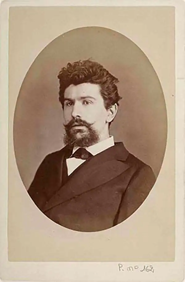
Jules André Hansen (February 8, 1849 – March 27, 1931) was a French cartographer active in Paris during the later part of the 19th century. Hansen's work particularly focused on consolidating exploratory and merchant reports of travelers in Africa into practical maps of various parts of French controlled Africa.
Map featuring important manuscript annotations regarding the parceling of Colonial land concessions in the French Congo.
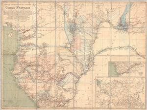
Service Géographique des Colonies Congo Français.
sold
- Digital Map Information
- Suitable for large format printing
- File Size: 51.15 MB
- File Type: ZIP / TIFF
- ICC color profile embedded
- Delivered instantly via download link
An extremely rare large format map of the French Congo (Congo Français) issued by Jules-André-Arthur Hansen in 1895 with important manuscript annotations relating to the 1899 divvying of the colony into land grants and concessions. This map expresses French ... (more details)