
Lowden, Henry Larkin (sold)
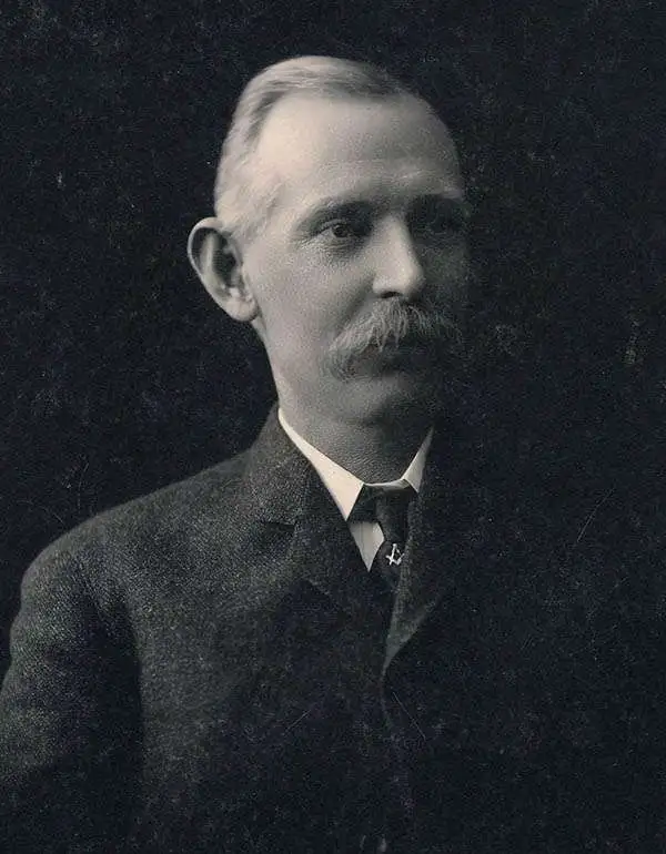
Henry Larkin Lowden (October 12, 1857 - November 16, 1935), also known as 'Hank,' was a surveyor active in Trinity County, California in the late 19th and early 20th centuries. Lowden was born, raised, and spent nearly his entire life in Weaverville. His parents would have been among the early American settlers to the region, who came in search of gold and associated opportunities. His father, William Spencer Lowden (1830 - 1912), was also a surveyor and trained his son in the profession, with them operating for a time as 'W.S. Lowden and Son.' They primarily conducted surveys for mines in the region but were also involved in larger-scale surveys, including (with Jno. Johnson) an 1894 'Official Map of Trinity County' (Rumsey 2523.000).
Northern California's 'Second Gold Rush'.
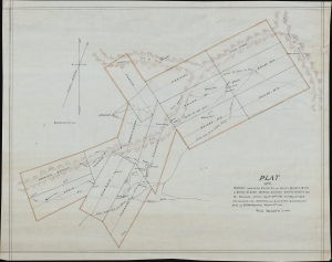
Plat of the Surveys Made at the Chloride and Bailey Quartz Mines. In Canon Creek Mining District, Trinity County, Cal.
sold
- Digital Map Information
- Suitable for large format printing
- File Size: 14.94 MB
- File Type: ZIP / TIFF
- ICC color profile embedded
- Delivered instantly via download link
This is a 1901 manuscript plat map of mining claims along the Canyon (or Cañon) Creek in Trinity County, California, prepared by surveyors Henry L. Lowden and Thomas J. Montgomery. (more details)