
Luria, Ben-Zion (sold) (בן-ציון לוריא)
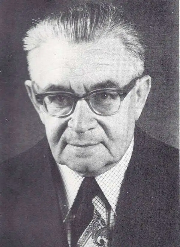
Ben-Zion Luria (בן-ציון לוריא; April 4, 1905 - April 4, 2002) was a Polish-Israeli historian, cartographer, geographer, and educator who was an expert on the history and geography of the Holy Land. Born in Bialystok, Poland, he attended the Hebrew Gymnasium there before emigrating with his family to Palestine. In 1929, he enrolled at the Hebrew University of Jerusalem and began an extensive course of Biblical study and research on the history of Eretz Isreal. He spent years determining the location of places mentioned in the Bible and assigning (or reassigning) them Hebrew names (he later was active in the Jerusalem Naming Committee, which assigned Hebrew street names in the holy city). He became editor of Beit Mikra (בית מקרא), a scholarly journal of Biblical studies and criticism. Luria was an active member of the Eretz-Israel Wanderers Association, a hiking club dedicated to helping members understand the history and geography of the Holy Land. Over his career, Luria published dozens of articles and books, and by the time of the founding of the State of Israel was one of the most prominent geographers in the country.
AKA: בן-ציון לוריא
Era of Independence.
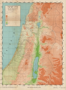
ארץ ישראל מפה לידיעת המולדת לנער ולעם / [The Land of Israel Map for Knowledge of the Homeland for the Youth and the People].
sold
- Digital Map Information
- Suitable for large format printing
- File Size: 29.2 MB
- File Type: ZIP / TIFF
- ICC color profile embedded
- Delivered instantly via download link
A scarce c. 1946 Hebrew-language map of Mandatory Palestine / Eretz Israel edited by David Benvenisti and Ben-Zion Luria. (more details)
Visualizing the Indochina Wars in Israel.
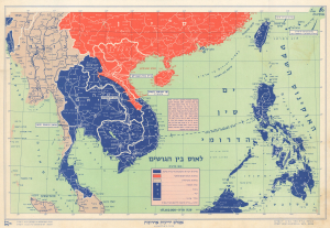
This is a c. 1960 map of Southeast Asia produced by the Israeli cartographic firm Carta for Ben-Zion Luria's Aṭlas Yedi'ot Aharonot. It highlights the Cold War ideological struggles in the region, particularly the Laotian Civil War (1959 - 1975). (more details)