
McCorquodale, George (sold)
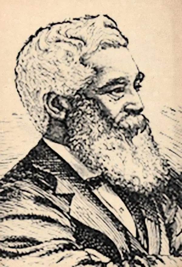
George McCorquodale (May 10, 1817 - 1895) was an English printer active in the late 19th century. McCorquodale was the son of Hugh McCorquodale and Lucia Hall. He was born in Liverpool, where in 1841 he established a stationer's shop, Liverpool Printing and Stationery Company. Attaining considerable success, George founded McCorquodale and Company in Newton-le-Willows in 1846. McCorquodale capitalized on printing maps, timetables, and pamphlets for the growing English railroad industry. By the 1870s, the firm established printing factories in London, Glasgow, and Leeds. In 1878, Sir Richard Moon, chairman of the London and North Western Railway, convinced McCorquodale to establish a printing office in Wolerton, then a major railroad town. This eventually led to commercial printing of books, stationary, and registered envelope. By this time, McCorquodale was one of the largest printers in the British Isles. In addition to his businesses, McCorquodale held the office of High Sheriff of Lancashire in 1882, and High Sheriff of Anglesey in 1888. He retired to Anglesey, dying in 1895. The McCorquodale company remains active and is based in Derby.
Stunningly engraved railorad map of England and Wales.
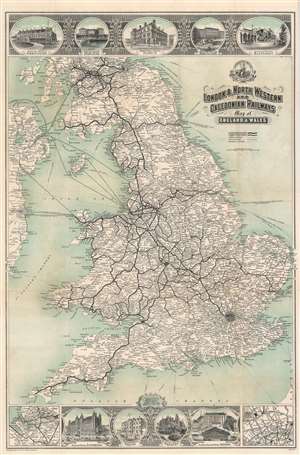
London and North Western and Caledonian Railways Map of England and Wales.
sold
- Digital Map Information
- Suitable for large format printing
- File Size: 47.38 MB
- File Type: ZIP / TIFF
- ICC color profile embedded
- Delivered instantly via download link
A finely engraved c. 1911 map of England and Wales published by George McCorquodale for the London and North Wester and Caledonian Railways. Railroad routes are illustrated throughout, as are roads and ferry routes to and from Ireland and the Isle of Man. There are images of grand hotels along the route illustrated at the top and bottom of the map. (more details)
Stunningly engraved.
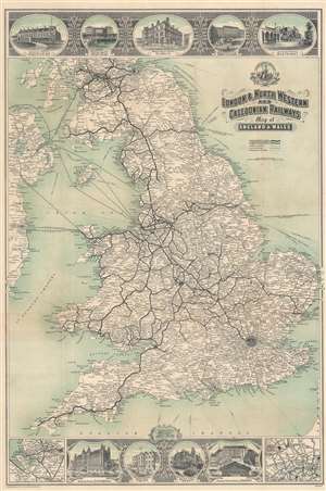
London and North Western and Caledonian Railways Map of England and Wales.
sold
- Digital Map Information
- Suitable for large format printing
- Full resolution TIFF file
- ICC color profile embedded
- Delivered instantly via download link
A beautifully engraved piece, this is a c. 1911 George McCorquodale map of England and Wales created for the London and North Western and Caledonian Railways. Bold lines trace railroads throughout England and Wales, with station stops identified. Vignettes along the top and bottom borders illustrate station hotels, including hotels in Dublin, Birmingham, Bletchley, Liverpool, and London. An inset in the lower left details on the region around Liverpool, Manchester, and Crewe, while a second inset in the lower right depicts London, highlighting its railway stations: Euston, King's Cross, St. Pancras, and Waterloo. (more details)