Most recently added antique and rare maps as of 8/20/2025.
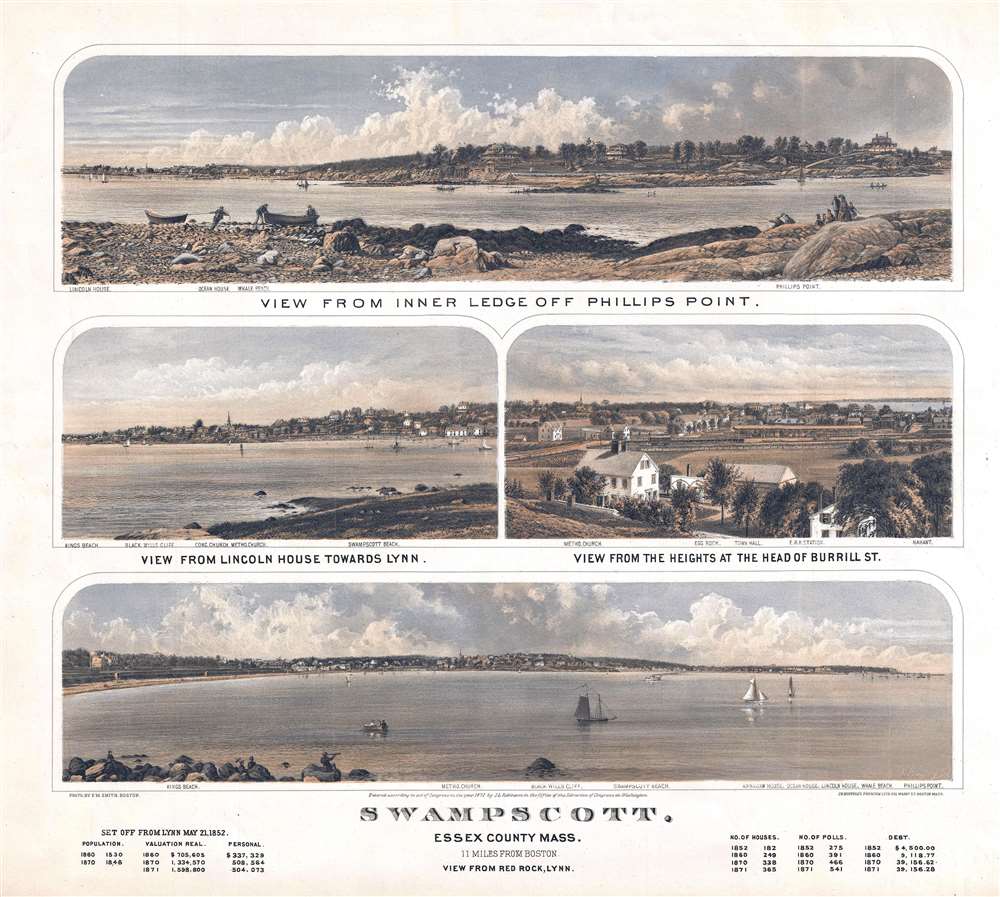
Unusual locally produced view of Swampscott.
$1,200.00
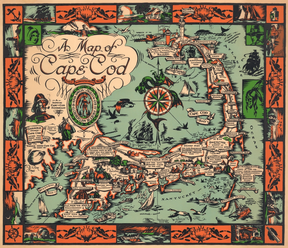
The best fishing.
$1,000.00
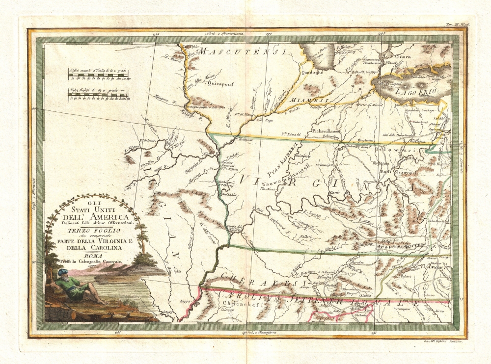
Detailed mapping of American Indian lands between the Mississippi River and the Appalachian Mountains following the American Revolutionary War.
$1,000.00
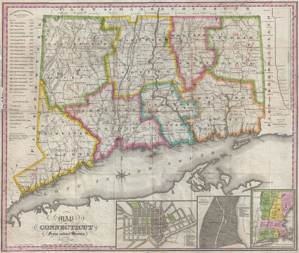
One of the few early maps of Connecticut actually published in Connecticut (New Haven).
$1,000.00
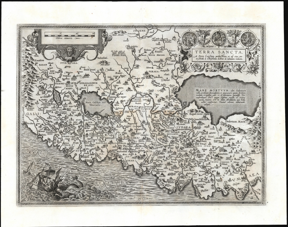
Ortelius' most state of the art Holy Land.
$875.00
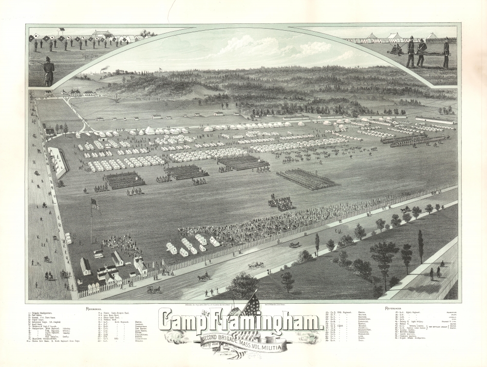
Massachusetts Volunteer Militia.
$750.00
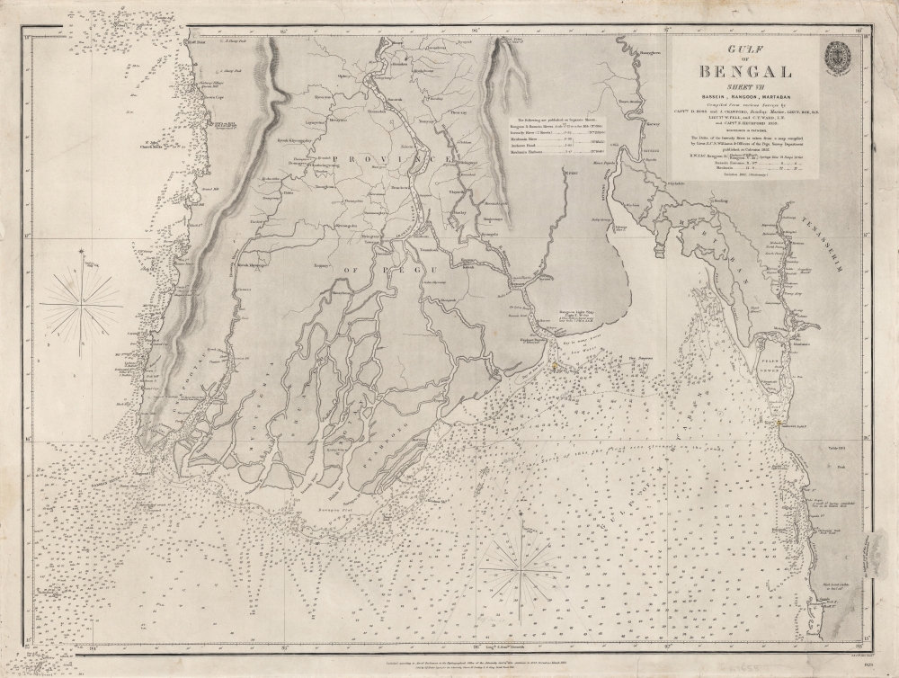
Charting British Control of Burma.
$550.00
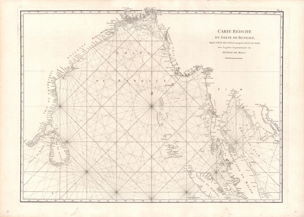
Among the earliest accurate charts of the Bay of Bengal.
$450.00
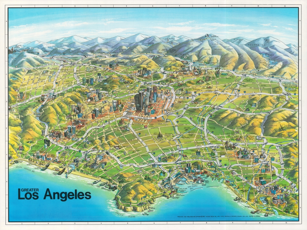
Freeways and foothills of Los Angeles.
$150.00
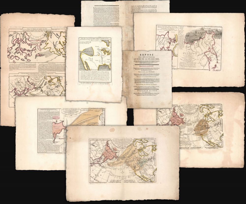
Thorough, early defense of the Sea of the West and the Northwest Passage.
$16,000.00
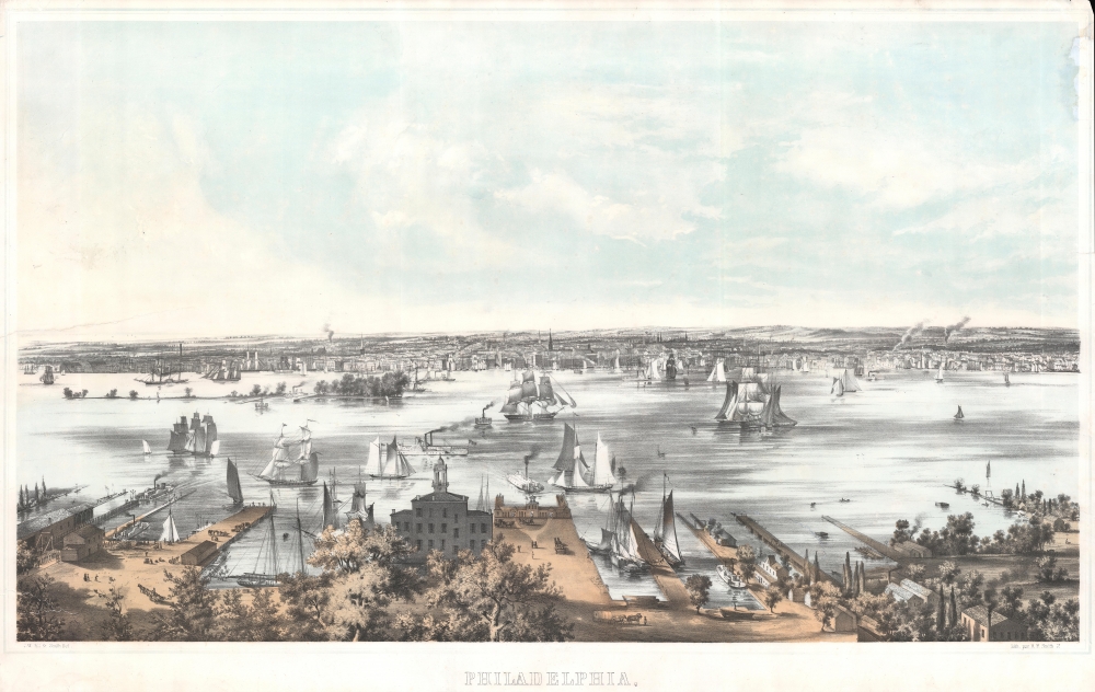
Philadelphia at the beginning of its industrialization.
$3,750.00
Curious artifact reflecting the development of modern medicine.
$850.00

