Most recently added antique and rare maps as of 8/19/2025.
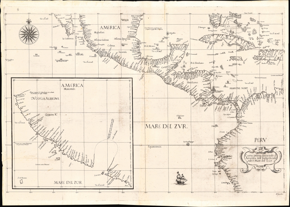
1647 Dudley Nautical Chart of the Pacific w/ Coast of California
Earliest published sea chart focusing on the California coast!
$7,000.00

1953 Nils Hansell Pictorial Map of New York: The Wonders of New York
Whimsical tribute to the oddities of New York.
$2,250.00

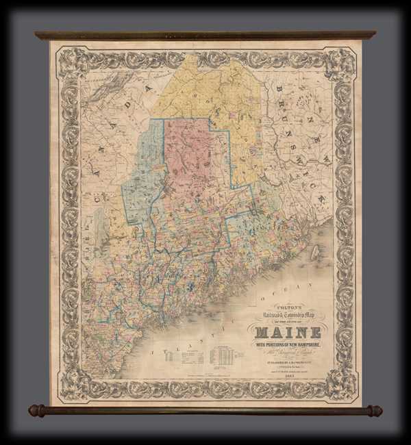
1855 Colton Wall Map of Maine
Maine at the beginning of the Railroad Era.
$1,800.00

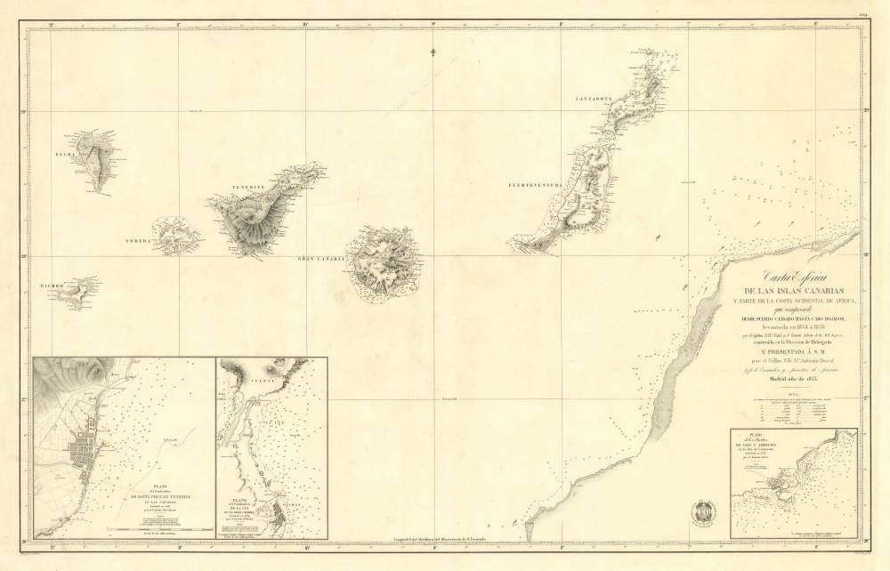
1853 Direccion de Hidrografia Nautical Chart or Map of the Canary Islands
Most dangerous Maritime passage in West Africa.
$850.00

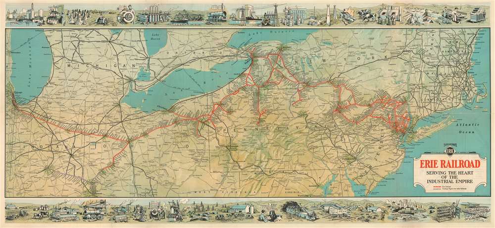
1930 Whitney-Graham Railroad Map of the Northeastern United States
Courting industrial development along the Erie Railroad trunk line.
$850.00

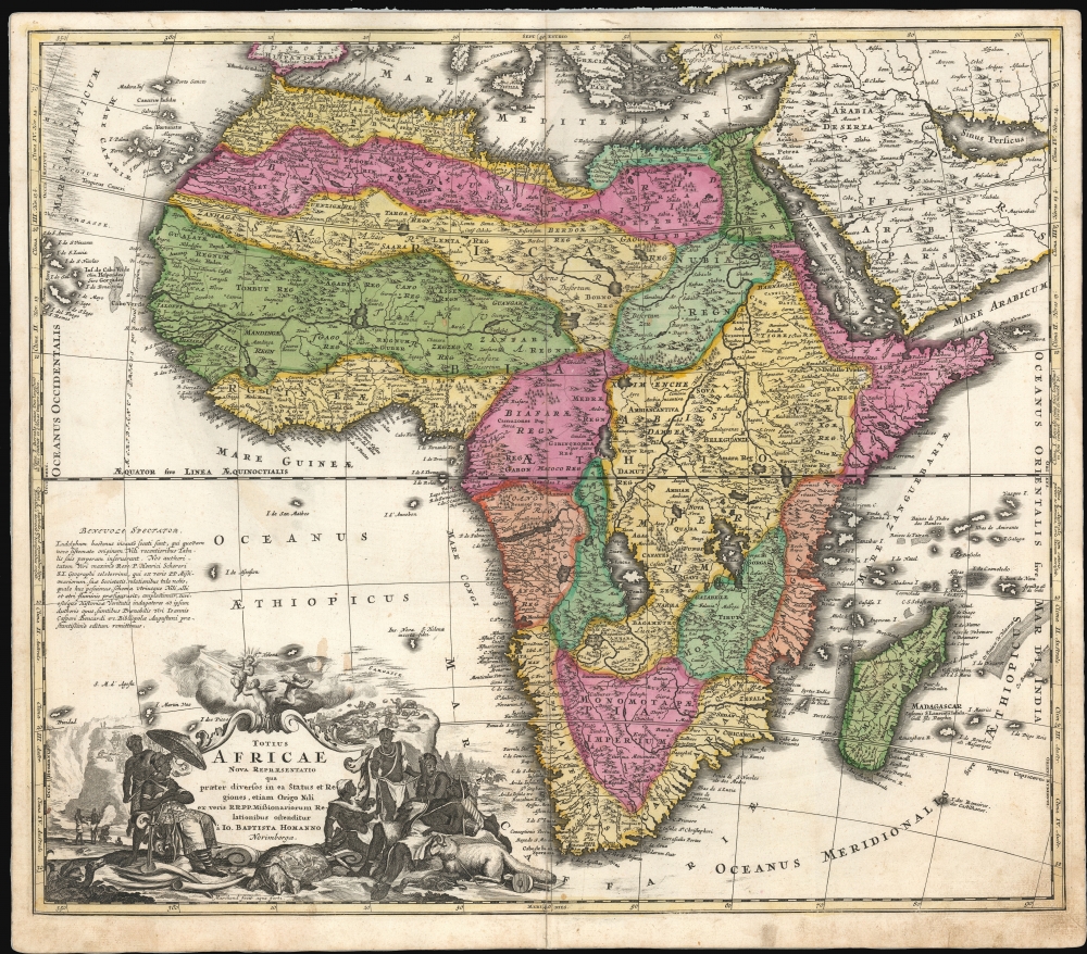
1707 J. B. Homann Africa (First Plate)
Reconciling new discovery and Ptolemaic Geography.
$850.00

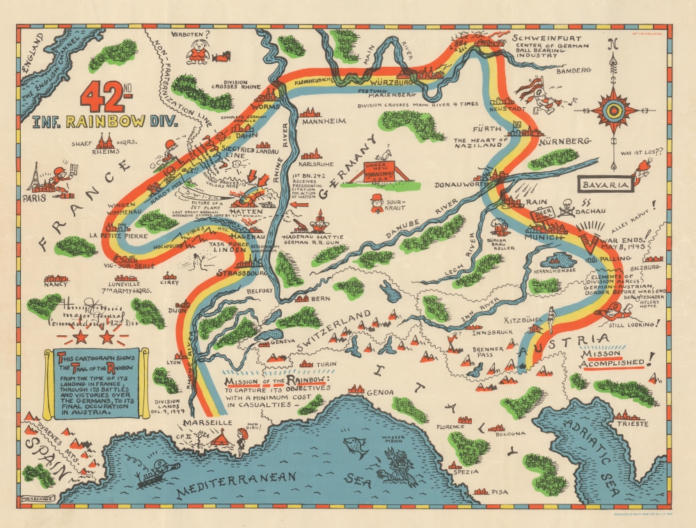
1945 Mackechnie Pictorial Route Map of the 42nd Infantry Division in WWII
Employs a rainbow to trace the route of the 42nd Infantry 'Rainbow' Division through Europe during World War II.
$750.00

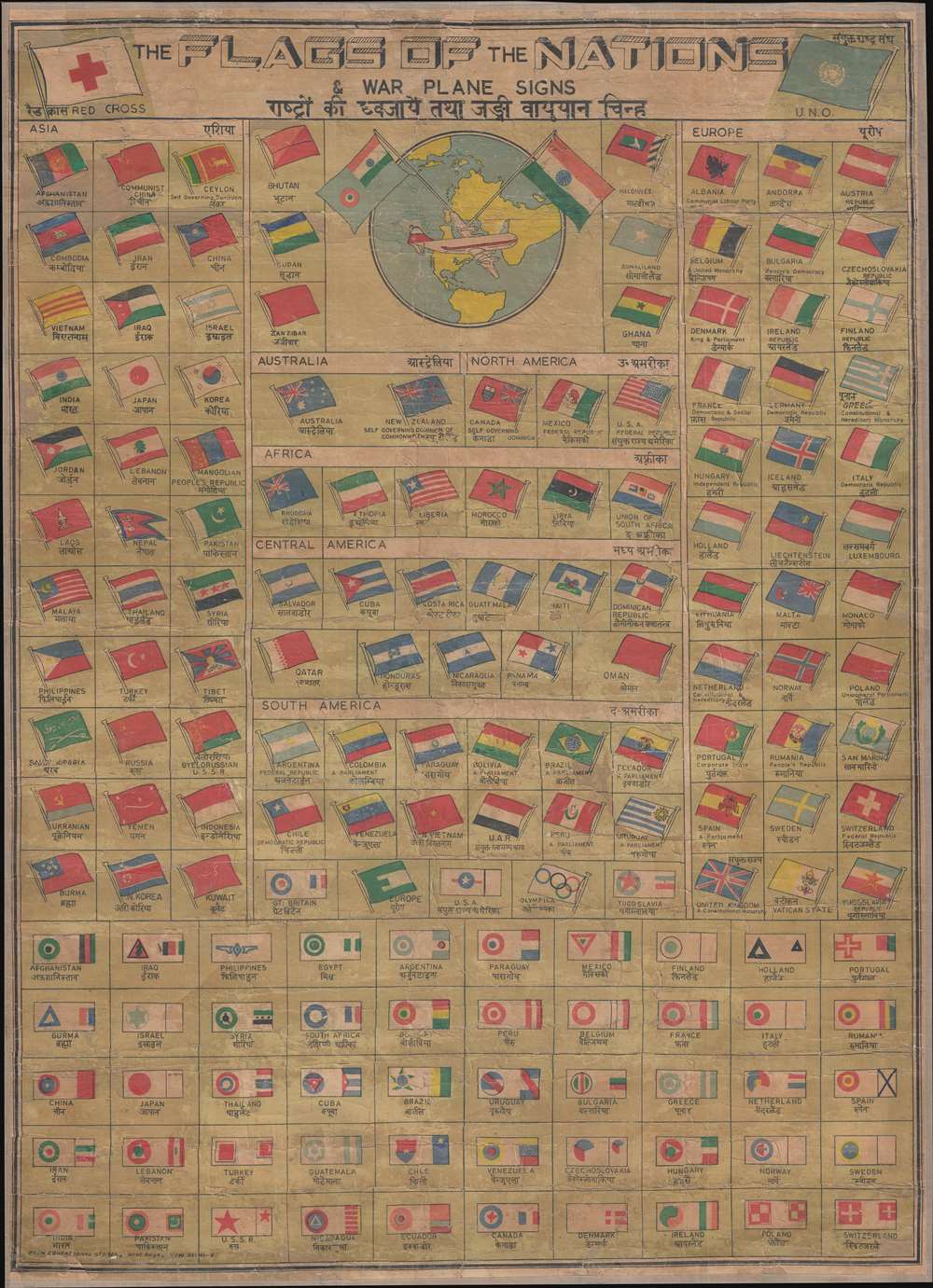
1962 Prem Educational Chart of the Flags and Aircraft Insignia of the World
Multiple ephemeral flags. Issued in English and Hindi.
$600.00

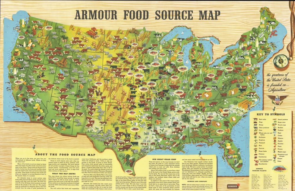
1960 Armour Pictorial Food Source Map of the United States
Might of American Agriculture.
$350.00

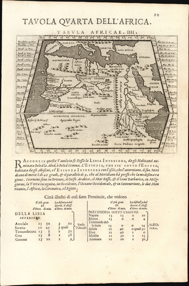
1596/ 1598 Giovanni Antonio Magini / Ptolemy maps of Africa and Asia Minor
Africa and Anatolia as Known to the Ancients.
$250.00

1595 / 1628 Mercator Map of America
The only America map of the Mercator Atlas.
$4,000.00

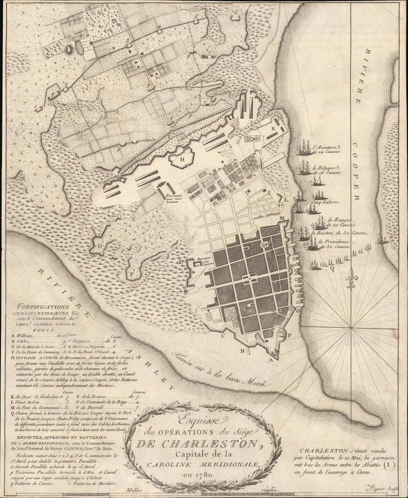
1787 Picquet Map of Charleston illustrating the Siege of Charleston
One of the earliest obtainable specific maps of Charleston, South Carolina.
$1,750.00