
Perrot, Aristide Michel

Aristide Michel Perrot (1793 - 1879) was a French geographer, cartographer, and essayist active during the 19th century. Perrot specialized in miniature maps that appear in numerous French atlases. Perrot was also a prolific writer and his works include geographic lexicons and several essays.
Fantastic separate issue example of this awesome chart!
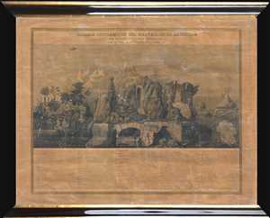
Tableau Pittoresque des Merveilles de la Nature.
$950.00
Acquire
- Digital Map Information
- Suitable for large format printing
- DPI: 300
- File Size: 4.52 MB
- File Type: ZIP / TIFF
- ICC color profile embedded
- Delivered instantly via download link
This is a separate issue c.1840 Aristide Michel Perrot comparative chart illustrating the wonders of the nature. The chart depicts 58 different numerically identified natural wonders occurring throughout the world. A table, situated in the bottom quarter of the ... (more details)
Incredible separate issue example of this beautiful chart!
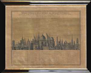
Tableau Comparatif de la Hauteur des Principaux Monuments de toutes les Parties du Monde, présentant leur Configuration, les details éxacts de leur élévation, et la Date de leur Construction.
$950.00
Acquire
- Digital Map Information
- Suitable for large format printing
- DPI: 300
- File Size: 5.24 MB
- File Type: ZIP / TIFF
- ICC color profile embedded
- Delivered instantly via download link
This is a separate issue c.1840 Aristide Michel Perrot comparative chart of the heights of the monuments of the world. The chart depicts 71 different numerically identified monuments located throughout the world, although the majority are in Europe, and the ... (more details)
Loire Valley Wine Region.
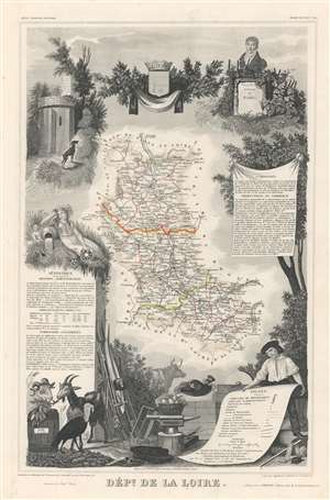
Dept. de la Loire.
$150.00
Acquire
- Digital Map Information
- Suitable for large format printing
- Full resolution TIFF file
- ICC color profile embedded
- Delivered instantly via download link
This is a fascinating 1852 map of the French department of Loire, France. This area of France is part of the Loire Valley wine growing region. The area includes 87 appellations under the Appellation d'origine contrôlée, Vin Délimité de Qualité Superieure, and Vin de pays systems. The map proper is surrounded by elaborate decorative engravings designed to illustrate both the natural beauty and trade richness of the land. There is a short textual history of the regions depicted on both the left and right sides of the map. (more details)