
Willibald Pirckheimer (sold)
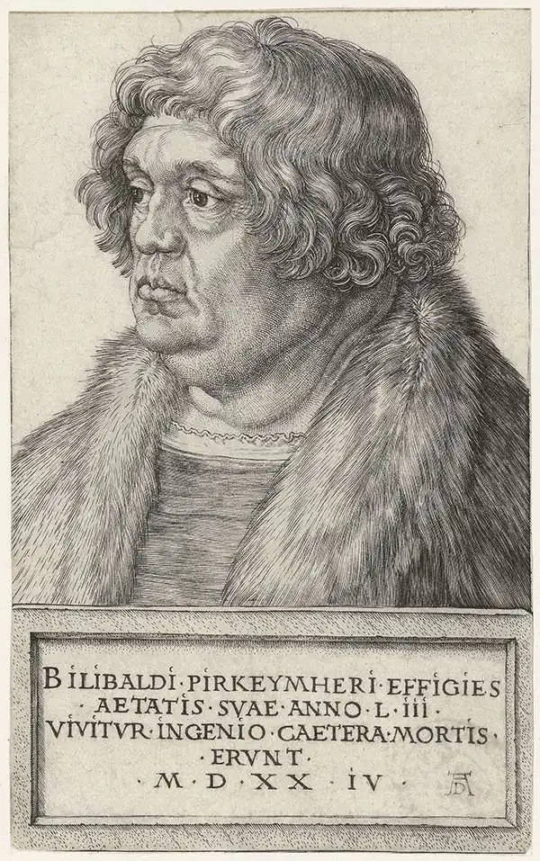
Willibald Pirckheimer (December 5, 1470 - December 22, 1530) was a German lawyer and humanist, and a key figure in the German Renaissance, best remembered for his role as a cultural patron. He was close friends with artist Albrecht Dürer and theologian Erasmus. He was born in Eichstätt to lawyer Johannes Pirckheimer, and sent to Padua and Pavia to study law. Back in Nuremberg he became influential: he was twice a member of the city council, and in 1499 he was chosen by the city to command Nuremberg's troops assigned to the Imperial army to fight against the Swiss during the Swabian War. But his involvement in the city went beyond civic affairs. He became a member of a group of humanists that included Hartmann Schedel (he of the 1493 Liber Chronicarum). He translated an array of classical texts into German, and produced an edition of Ptolemy's Geographia in 1525. (This would provide the basis for the text of Mercator's 1584 Ptolemy.) And he supported others in the arts, most notably his great friend Albrecht Dürer, educating him in the classics and funding his travels to Italy. Pirckheimer was also a patron of science, supporting astronomist and instrument maker Johannes Werner.
Superb example of the most finely-engraved Ptolemy, with beautiful original color.
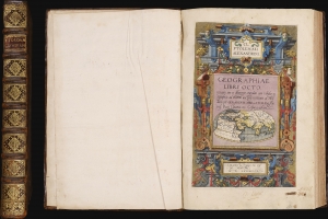
Cl Ptolemaei Alexandrini Geographiae libri octo: recognitiiam diligenter emendati cum tabulis geographicis ad mentem auctoris restitutis ac emendatis, per Gerardum Mercatorem.
sold
This is a superb example of Gerard Mercator's Cl Ptolemaei Alexandrini Geographiae Libri Octo: the 1584 first edition of the full proto-atlas, featuring Willibald Pirckheimer's translation of Claudius Ptolemy's text edited by Arnold Mylius, accompanied by 28 maps in rich, original color. Moreover, the present volume is bound with Mercator's contemporary atlas of France and the Low Countries, Galliae Tabule Geographicae. These volumes were probably joined in the 18th century when this volume was bound. The book thus presents Mercator's earliest published books in a superb, unique example. It is one of the few of Mercator's books to be published in his lifetime. (more details)