
Selma, Ferdinand (Fernando Selma)

Ferdinand Selma (Fernando Selma; 1752 - January 8, 1810) was a Spanish line engraver active in Madrid with the Direccion Hidrografía in the late 18th and early 19th centuries. Selma was born in Valencia and died in Madrid. His is best known for his engravings for his 1788 Illustrations de Relacion del ultimo viage al estracho de Magallanes.
AKA: Fernando Selma
Spain's Answer to Cook and Laperouse.
$1,200.00
Acquire
- Digital Map Information
- Suitable for large format printing
- Full resolution TIFF file
- ICC color profile embedded
- Delivered instantly via download link
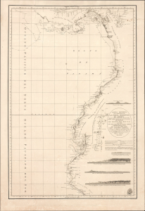
This is an 1800 maritime map or nautical chart of the northern part of the Pacific Coast of South America, prepared by Felipe Bauzá y Cañas and published by the Deposito Hidrografico (Direccion Hidrografía). Bauzá has been the main hydrographer on the Alexandro Malaspina Expedition (1789 - 1794), a Spanish effort to chart the western coast of America and explore the Pacific Ocean, akin to the slightly earlier British and French voyages led by James Cook and Lapérouse, respectively. (more details)
Rare early nautical chart of the Virgin Islands.
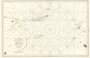
Carta Esferica de la Islas Caribes de Sotavento.
$2,000.00
Acquire
- Digital Map Information
- Suitable for large format printing
- Full resolution TIFF file
- ICC color profile embedded
- Delivered instantly via download link
A rare 1804 Direccion Hidrografica nautical chart or maritime map of the Virgin Islands. Centered on Virgin Gorda Island, the map covers from eastern Puerto Rico to St. Christopher and St. Barts. When it was printed, this was the finest map of the Virgin Islands yet produced, the result of a meticulous 1792 survey by Spanish officers Joaquin Francisco Fidalgo and Cosme Damián de Churruca y Elorza. (more details)
Charting Caribbean Waters.
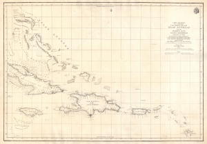
Carta Esferica que Comprehende una Parte de las Islas Antillas, las de Puerto Rico, Santo Domingo, Jamayca y Cuba con los Bancos y Canales Adyacentes.
$1,600.00
Acquire
- Digital Map Information
- Suitable for large format printing
- DPI: 600
- File Size: 57.85 MB
- File Type: ZIP / TIFF
- ICC color profile embedded
- Delivered instantly via download link
An impressive large-format nautical chart, produced in 1815 by the Spanish Dirección Hidrografía, covering the waters off the Greater Antilles and surrounding islands, taking in Cuba, the Bahamas, Hispaniola, Jamaica, Puerto Rico, the Virgin Islands, and Guadeloupe. (more details)