
Selma, Ferdinand (sold) (Fernando Selma)

Ferdinand Selma (Fernando Selma; 1752 - January 8, 1810) was a Spanish line engraver active in Madrid with the Direccion Hidrografía in the late 18th and early 19th centuries. Selma was born in Valencia and died in Madrid. His is best known for his engravings for his 1788 Illustrations de Relacion del ultimo viage al estracho de Magallanes.
AKA: Fernando Selma
Rare early nautical chart of the Virgin Islands.
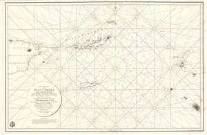
Carta Esferica de la Islas Caribes de Sotavento.
sold
- Digital Map Information
- Suitable for large format printing
- Full resolution TIFF file
- ICC color profile embedded
- Delivered instantly via download link
A rare 1804 Direccion Hidrografica nautical chart or maritime map of the Virgin Islands. Centered on Virgin Gorda Island, the map covers from eastern Puerto Rico to St. Christopher and St. Barts. When it was printed, this was the finest map of the Virgin Islands yet produced, the result of a meticulous 1792 survey by Spanish officers Joaquin Francisco Fidalgo and Cosme Damián de Churruca y Elorza. (more details)
Rare early nautical chart of the Virgin Islands.
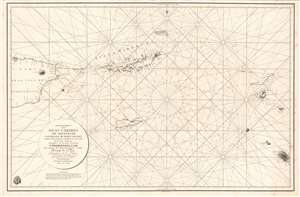
Carta Esferica de la Islas Caribes de Sotavento.
sold
- Digital Map Information
- Suitable for large format printing
- DPI: 600
- File Size: 49.61 MB
- File Type: ZIP / TIFF
- ICC color profile embedded
- Delivered instantly via download link
A rare 1804 Direccion Hidrografica nautical chart or maritime map of the Virgin Islands. Centered on Virgin Gorda Island, the map covers from eastern Puerto Rico to St. Christopher and St. Barts. When it was printed, this was the finest map of the Virgin Islands yet produced, the result of a meticulous 1792 survey by Spanish officers Joaquin Francisco Fidalgo and Cosme Damián de Churruca y Elorza. (more details)
'The first large-scale printed chart of the Texas coast based on actual soundings and explorations.' - Martin and Martin
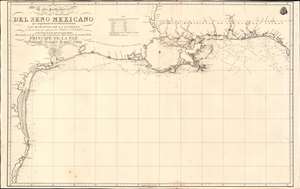
Carta Particular de las Costas Setentrionales del Seno Mexicano que comprende las de Florída Ocidental Las Margenes de la Luisiana y toda la rivera que sigue por la Bahia de S. Bernardo y el Rio Bravo del Norte hasta la Laguna Madre.
sold
- Digital Map Information
- Suitable for large format printing
- Full resolution TIFF file
- ICC color profile embedded
- Delivered instantly via download link
One of the most important maps of Texas, considered 'the first large-scale printed chart of the Texas coast based on actual soundings and explorations' (Martin and Martin). This is the 1807 Spanish Direccion Hidrografica map of the Gulf Coast in the vicinity of Texas and Louisiana. The chart follows directly on the seminal Jose Antonio de Evia (1740 - 18??) survey of the Gulf Coast, conducted between 1785 and 1786. This was the first scientific mapping of this region, resulting in, among other things, the naming of Galveston Bay. The Evia survey resulted in two subsequent maps, the 1799 Carta Esferica que Comprehende las Costas del Seno Mexicano - essentially a general chart of the Gulf of Mexico, and this more specific 1807 map offering considerably more detail to the costliness of Texas and Louisiana. (more details)