
Stoddard, Seneca Ray (sold)

Seneca Ray Stoddard (May 13, 1844 – April 26, 1917) was an American landscape photographer known for his images of New York's Adirondack Mountains. He was also a naturalist, writer, poet, artist, and cartographer. His writings and photographs helped to popularize the Adirondacks as a vacation destination in the late 19th century. Stoddard was born at Wilton, in Saratoga County, New York, May 13, 1844. Largely self-taught, he left home at 16 to paint advertising and decorative scenes on railroad cars. Around 20, Stoddard discovered a passion for photography. His work initially focused on his hometown of Glens Falls, but quickly expanded to cover much of the Adirondack region. In 1873, he published guides to Saratoga Springs and Lake George, which he updated and revised each of the subsequent five years. In 1878, the guide was expanded to Lake George and Lake Champlain. His best-known work is the 1873 guidebook, The Adirondacks: Illustrated, revised and reprinted through 1914. In 1874, he issued the first tourist map of the Adirondacks. This was followed by a 1878 topographical survey of the Adirondacks. In 1882, Stoddard invented 'a camera attachment for use in dry-plate photography and to perfect the magnesium flash for taking night photographs.' In early 1892, he was invited to give an illustrated lecture to the New York State Legislature that was influential in the creation of the Adirondack Park. In addition to his work in New York, Stoddard traveled extensively. His travels took him to Alaska in 1892, Florida and Cuba in 1894, and later he toured the American West and Southwest. In 1895, he traveled to Bermuda, the Holy Land, Italy, Switzerland, and France. In 1897, he went to England, the Orkney, Shetland, and Faroe Islands, Iceland, Norway, Denmark, Germany, and Russia. His trips became the basis for illustrated lecture tours, and two photographic travel books: The Cruise of the Friesland and The Midnight Sun. In 1906, he started Stoddard's Northern Monthly, a short-lived magazine that featured articles on the Adirondacks, fiction, and foreign travel. Stoddard died at his home in Glens Falls, New York, on April 26, 1917, and is interred in Pineview Cemetery. Today, his photography is housed at the Chapman Historical Museum in Glens Falls, and the Adirondack Museum in Blue Mountain Lake, New York.
Rare and Attractive 19th Century Map of Lake George.
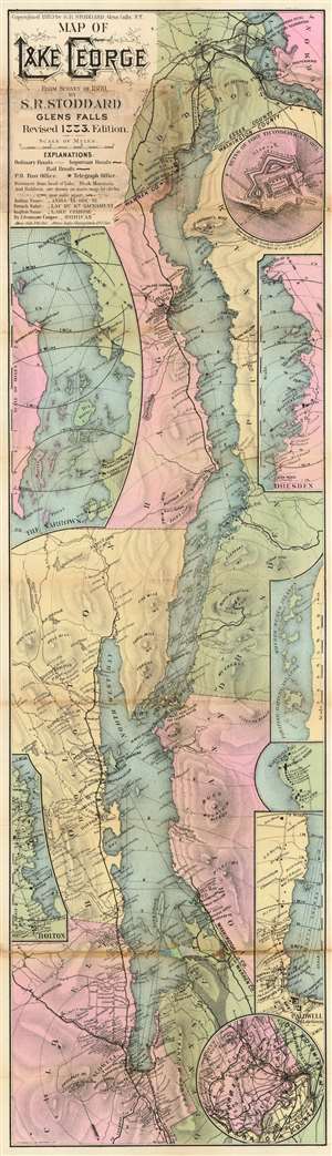
Map of Lake George.
sold
- Digital Map Information
- Suitable for large format printing
- Full resolution TIFF file
- ICC color profile embedded
- Delivered instantly via download link
A very rare 1883 map of Lake George by Seneca Ray Stoddard. The map covers Lake George from Fort Ticonderoga to Caldwell. There are numerous insets including the Ruins of Fort Ticonderoga, The Narrows, Dresden, the Floating Battery Islands, Kattskill Bay, Bolton, Caldwell, and Warren County. (more details)
Rare orignal map of Lake George.
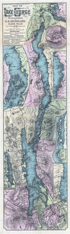
Map of Lake George.
sold
- Digital Map Information
- Suitable for large format printing
- File Size: 14.94 MB
- File Type: ZIP / TIFF
- ICC color profile embedded
- Delivered instantly via download link
A very rare map of Lake George by Seneca Ray Stoddard. The map covers lake George from Fort Ticonderoga to Caldwell. There are numerous insets including the Ruins of Fort Ticonderoga, The Narrows, Dresden, the Floating Battery Islands, Kattskill Bay, Bolton, ... (more details)
Published the year after the Adirondack Park was created.
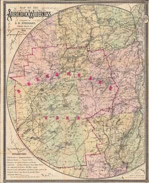
Map of the Adirondack Wilderness.
sold
- Digital Map Information
- Suitable for large format printing
- Full resolution TIFF file
- ICC color profile embedded
- Delivered instantly via download link
This is an 1895 Seneca Ray Stoddard map of the Adirondacks, New York, highlighting the Adirondack State Park. This one of the earliest obtainable commercial maps of the Adirondack Wilderness, published only 2 years after the park's founding, at the height of the Naturalist Movement and the Adirondack Gilded Age. (more details)
One of the Earliest Tourist Maps of Lake Champlain.
Map of Lake Champlain.
sold
- Digital Map Information
- Suitable for large format printing
- File Size: 22.63 MB
- File Type: ZIP / TIFF
- ICC color profile embedded
- Delivered instantly via download link
A scarce 1895 Seneca Ray Stoddard map of Lake Champlain issued for the Central Vermont Railroad. It was published at the height of the lake's late 19th-century popularity as a tourist destination. (more details)
One of the Earliest Tourist Maps of Lake Champlain.
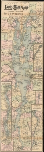
Map of Lake Champlain.
sold
- Digital Map Information
- Suitable for large format printing
- File Size: 21.34 MB
- File Type: ZIP / TIFF
- ICC color profile embedded
- Delivered instantly via download link
A scarce 1899 Seneca Ray Stoddard map of Lake Champlain. It was published at the height of the lake's late 19th-century popularity as a tourist destination. (more details)
Published shortly after the Adirondack Park was created.
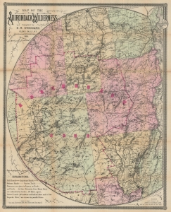
Map of the Adirondack Wilderness.
sold
- Digital Map Information
- Suitable for large format printing
- Full resolution TIFF file
- ICC color profile embedded
- Delivered instantly via download link
This is a 1900 Seneca Ray Stoddard map of the Adirondacks, New York, highlighting the Adirondack State Park. This is one of the earliest obtainable commercial maps of the Adirondack Wilderness, published not long after the park's founding, at the height of the Naturalist Movement and the Adirondack Gilded Age. Stoddard's maps are much admired for expressing not only the geography, but also the character of the Adirondacks. (more details)
One of the first tourst maps of Lake Champlain.
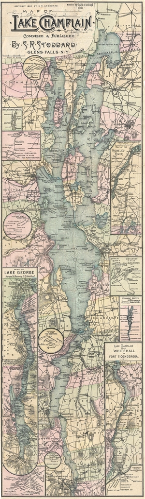
Map of Lake Champlain. Compiled & Published by S. R. Stoddard. Glens Falss, NY.
sold
- Digital Map Information
- Suitable for large format printing
- File Size: 11.61 MB
- File Type: ZIP / TIFF
- ICC color profile embedded
- Delivered instantly via download link
A rare map of Lake Champlain issued by Seneca Ray Stoddard of Glens Falls, New York, in 1901. Issued in an unusual elongated format, this map covers the entirety of Lake Champlain, and the adjacent parts of Vermont and New York, from Missisquoi Bay and ... (more details)
One of the First Tourist Maps of Lake Champlain.
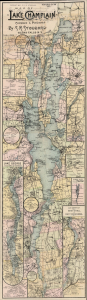
Map of Lake Champlain. Compiled and Published by S. R. Stoddard. Glens Falls, NY.
sold
- Digital Map Information
- Suitable for large format printing
- File Size: 26.12 MB
- File Type: ZIP / TIFF
- ICC color profile embedded
- Delivered instantly via download link
This is Seneca Ray Stoddard's rare 1902 map of Lake Champlain. Published from 1892 through the early 20th century, this is the first tourist map to focus on Lake Champlain. Stoddard also issued similar maps of Lake George and the Adirondacks. (more details)
Published shortly after the Adirondack Park was created.
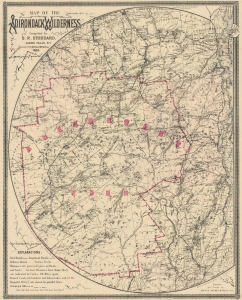
Map of the Adirondack Wilderness.
sold
- Digital Map Information
- Suitable for large format printing
- File Size: 45.34 MB
- File Type: ZIP / TIFF
- ICC color profile embedded
- Delivered instantly via download link
This is an 1903 Seneca Ray Stoddard map of the Adirondacks, New York, highlighting the Adirondack State Park. This one of the earliest obtainable commercial maps of the Adirondack Wilderness, published not long after the park's founding, at the height of the Naturalist Movement and the Adirondack Gilded Age. (more details)
Published shortly after the Adirondack Park was created.
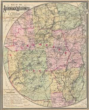
Map of the Adirondack Wilderness.
sold
- Digital Map Information
- Suitable for large format printing
- Full resolution TIFF file
- ICC color profile embedded
- Delivered instantly via download link
This is an 1905 Seneca Ray Stoddard map of the Adirondacks, New York, highlighting the Adirondack State Park. This one of the earliest obtainable commercial maps of the Adirondack Wilderness, published not long after the park's founding, at the height of the Naturalist Movement and the Adirondack Gilded Age. (more details)
One of the first tourist maps of Lake Champlain.
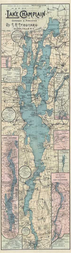
Map of Lake Champlain. Compiled & Published by S. R. Stoddard. Glens Falls, NY.
sold
- Digital Map Information
- Suitable for large format printing
- File Size: 16.04 MB
- File Type: ZIP / TIFF
- ICC color profile embedded
- Delivered instantly via download link
A rare map of Lake Champlain issued by Seneca Ray Stoddard of Glens Falls, New York, in 1911. Issued in an unusual elongated format, this map covers the entirety of Lake Champlain, and the adjacent parts of Vermont and New York, from Missisquoi Bay and ... (more details)