
Stumpf, Johann (sold) (Johannes Stumppius)
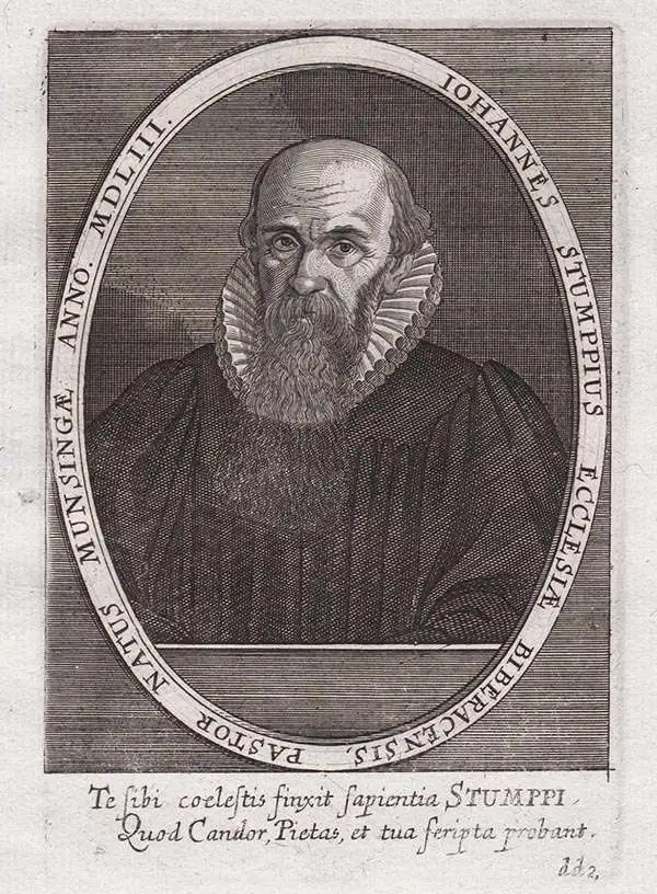
Johann Stumpf (April 23, 1500 - 1578) was a German-Swiss historian, theologian and cartographer. was an early writer on the history and topography of Switzerland as well as a theologian and cartographer. He was born at Bruchsal in Germany, and was educated there, at Strasbourg and in Heidelberg. In 1520 he became a Catholic chaplain with the Knights Hospitaller. In 1521 the order sent him south to Freiburg im Breisgau, and on to Basel, where he would be ordained. In 1522 he was placed in charge of a preceptory in the canton of Zürich. In the years following Stumpf became an active Protestant theologian: he took part in the Bern Disputation and participated in the first Kappel War. His first marriage in 1529 would be to the daughter of Swiss historian Heinrich Brennwald, whose manuscript history inspired his son-in-law to take up that discipline. Stumpf's research was not only textual: he traveled in order to support his work. His opus - Gemeiner loblicher Eydgnoschafft Stetten, Landen und Voelckeren Chronick wirdiger thaaten Beschreybung - was published in 1548, and contained an array of beautiful woodcut maps. An extract of it would be republished in 1554 entitled Schwytzer Chronika. Enlarged editions of the original work were issued in 1586 and 1606. In addition to his historical work, he would continue as a Protestant pastor until 1561. He retired to Zurich in 1561, where his life would end in 1576.
AKA: Johannes Stumppius
Dominant model of the world map before Ortelius.
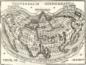
Universalis Cosmographia.
sold
- Digital Map Information
- Suitable for large format printing
- Full resolution TIFF file
- ICC color profile embedded
- Delivered instantly via download link
This is an attractive edition of Johann Honter's 1546 map of the world, which made available to a broad audience the groundbreaking cartography of Martin Waldseemüller. The precursors to this map being rarities priced orders of magnitude higher, Honter's map is one of the earliest acquirable maps to show this stage of cartography, and to show the place name 'America'. (more details)
Most beautifully executed woodcut map of Europe.
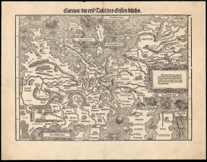
Europa die erst Tafel des Ersten Buchs.
sold
- Digital Map Information
- Suitable for large format printing
- DPI: 600
- File Size: 36.82 MB
- File Type: ZIP / TIFF
- ICC color profile embedded
- Delivered instantly via download link
This is a rare, 1548 example of Johann Stumpf's southern oriented map of Europe. It is the only map derived from Sebastian Münster's map of the continent, and thus is the last derivative of Martin Waldseemüller's unobtainable 1511 map of Europe. While Münster's map went to many editions and is readily acquirable, Stumpf's work was produced in significantly smaller numbers and consequently is a much rarer work. It is moreover larger and more beautifully executed, and is consequently more desirable. (more details)