
Carrington, Albert (sold)
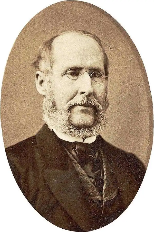
Albert Carrington (January 8, 1813 - September 19, 1889) was an apostle and member of the Quorum of the Twelve Apostles and First Presidency of the Church of Jesus Christ of Latter-day Saints (LDS Church). Born in Royalton, Vermont and graduating from Dartmouth College, Carrington began a career in law before moving to the Wisconsin Territory and encountering the LDS Church, into which he and his wife were baptized in 1841. He moved with the Mormons westwards and helped establish one of the first newspapers in Salt Lake City. He also served as Brigham Young's secretary, at which point he was hired by Howard Stansbury as part of the latter's expedition to survey the Great Salt Lake. Carrington later lost his prestige in the LDS Church and was excommunicated for extramarital affairs, but late in life was rebaptized and was posthumously ordained as an elder of the church.
Surveying the Great Salt Lake.
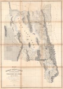
Map of the Great Salt Lake and Adjacent Country in the Territory of Utah.
sold
- Digital Map Information
- Suitable for large format printing
- Full resolution TIFF file
- ICC color profile embedded
- Delivered instantly via download link
An iconic map of the American West, this is a beautiful presentation edition of Howard Stansbury's crucial mapping of the Great Salt Lake, the earliest accurate survey of the region. Originally published in 1852 as part of the Stansbury Report presented to the U.S. Congress that year, the present example is mounted on linen and folds into a case, as it was intended for a member of Congress. This is, hands down, the finest example we've seen of this map, and if you're considering it for your collection, this is the one you want. (more details)
Early surveying expedition to the American West.
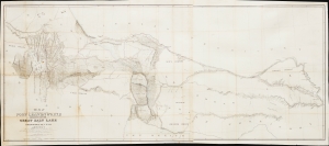
Map of a Reconnaissance between Fort Leavenworth and the Missouri River, and the Great Salt Lake in the Territory of Utah, made in 1849 and 1850…
sold
- Digital Map Information
- Suitable for large format printing
- File Size: 35.01 MB
- File Type: ZIP / TIFF
- ICC color profile embedded
- Delivered instantly via download link
This is Howard Stansbury's seminal 1852 map of the lands between Fort Leavenworth, Kansas, and Pilot Peak (now Nevada), west of the Great Salt Lake. It was published as part of the Stansbury Report presented to the U.S. Congress. (more details)
Early surveying expedition to the American West.
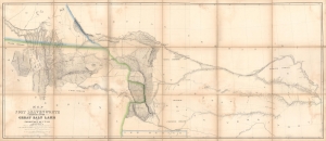
Map of a Reconnaissance between Fort Leavenworth and the Missouri River, and the Great Salt Lake in the Territory of Utah, made in 1849 and 1850…
sold
- Digital Map Information
- Suitable for large format printing
- Full resolution TIFF file
- ICC color profile embedded
- Delivered instantly via download link
A monumental map, matching the landscape it depicts, this is Howard Stansbury's seminal map of the lands between Fort Leavenworth, Kansas, and Pilot Peak (now Nevada), west of the Great Salt Lake. Originally published in 1852 as part of the Stansbury Report presented to the U.S. Congress that year, the present example is mounted on linen and folds into a case, as it was intended for a member of Congress. This is hand-down the finest example we've seen of this map, and if you are considering it for your collection, this is the one you want. (more details)