
Cary, John
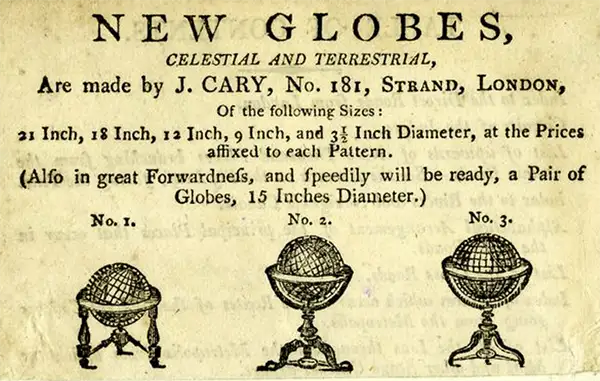
John Cary (1754 - August 1835) was a London based cartographer active in the early part of the 19th century. Ronald Vere Tooley, the prominent English map historian, writes of Cary, "As an engraver he was elegant and exact with fine clear lettering and great delicacy of touch." Cary began his work as an engraver, cartographer, and globe maker in 1776 with his New and Correct English Atlas. This important atlas represented a new phase in cartography where accuracy and detail rose in prominence over the decorative embellishments of the 18th century. This change was indicative of the times when travel and commerce were expanding globally as never before. Cary's mastery of both engraving and cartography resulted in a series of seminal works that redefined mapmaking in the early 19th century. His stupendous Cary's New Universal Atlas, published in 1808, set the standard for all cartographers who followed. Cary reissued this seminal atlas in 1811, 1819, 1824, 1828, 1833, 1836 and 1844. Cary also did considerable work on the English Ordinance Survey prior to 1805. His cartographic work, of where there are more than 600 maps known, particularly inspired the Edinburgh school of cartography as represented by John Pinkerton and John Thomson. In America, Cary's work was used as the basis for Tanner's important New American Atlas. Cary's last published atlas appeared posthumously in 1844, however, by 1850 Cary's work was being carried on by his sons and other well-known cartographers including James Wyld, John Tallis & Company, and Crutchley.
The Northern Borderlands of the U.S. in the Era of Revolution.
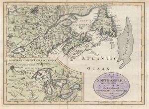
Part of North America, containing Canada, the north parts of New England and New York ; with Nova Scotia and Newfoundland.
$350.00
Acquire
- Digital Map Information
- Suitable for large format printing
- Full resolution TIFF file
- ICC color profile embedded
- Delivered instantly via download link
This is John Cary's c. 1781 map of the borderlands between the American colonies / United States of America and British dominions in North America. It is remarkable for reflecting geographical knowledge and territorial claims in the era of the American Revolutionary War. (more details)
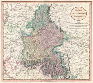
A New Map of the Circle of Bavaria, from the Latest Authorities.
$200.00
Acquire
- Digital Map Information
- Suitable for large format printing
- DPI: 300
- File Size: 3.49 MB
- File Type: ZIP / TIFF
- ICC color profile embedded
- Delivered instantly via download link
An extremely attractive example of John Cary's 1799 map of Bavaria and Salzburg, Germany. Covers the Duchy of Bavaria and the mountainous Archbishopric of Salzburg as well as parts of Franconia, Swabia, Tyrol, Bohemia and Austria. Highly detailed with color ... (more details)
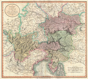
A New Map of the Circle of Austria, from the Latest Authorities.
$250.00
Acquire
- Digital Map Information
- Suitable for large format printing
- DPI: 300
- File Size: 17.28 MB
- File Type: ZIP / TIFF
- ICC color profile embedded
- Delivered instantly via download link
An extremely attractive example of John Cary's important 1801 map of the Austria. Covers from Lake Constance eastward as far as Lake Pelso and the Hungarian border. Extends southward to include the Duchy of Tyrol, the Republic of Venice and the Gulf of ... (more details)
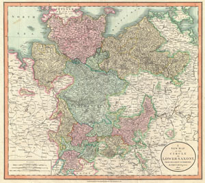
A New Map of the Circle of Lower Saxony, from the Latest Authorities.
$250.00
Acquire
- Digital Map Information
- Suitable for large format printing
- DPI: 300
- File Size: 17.86 MB
- File Type: ZIP / TIFF
- ICC color profile embedded
- Delivered instantly via download link
An extremely attractive example of John Cary's 1801 map of the Lower Saxony region of Germany. Consists of the Duchies of Bremen, Holstein, Mecklenburg and Saxe Lauenburg, as well as the Principalities of Leunenburgzell, Calenberg, Wolfenbuttel, ... (more details)
Benchmark Map of the Northwest Territory.
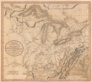
A New Map of Part of the United States of North America, exhibiting The Western Territory, Kentucky, Pennsylvania, Maryland, Virginia and C. Also, the Lakes Superior, Michigan, Huron, Ontario and Erie; with Upper and Lower Canada and C. From the Latest Authorities.
$1,200.00
Acquire
- Digital Map Information
- Suitable for large format printing
- File Size: 22.49 MB
- File Type: ZIP / TIFF
- ICC color profile embedded
- Delivered instantly via download link
Prepared by John Cary in 1805, this is one of the most interesting and attractive maps of the American Frontier and the Great Lakes to emerge in the first years of the 19th century. It provides a detailed snapshot of the western United States in the early years of the republic. (more details)
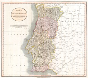
A New Map of the Kingdom of Portugal. Divided into its Provinces. From the Latest Authorities.
$300.00
Acquire
- Digital Map Information
- Suitable for large format printing
- Full resolution TIFF file
- ICC color profile embedded
- Delivered instantly via download link
This is a stunning 1811 map of Portugal by the important late 18th / early 19th century Edinburgh cartographer John Cary. Fully depicts the country and its various regions. The popular resort province of Algarve, is listed as its own Kingdom. ... (more details)
Map of England and Wales used by American politician Samuel Atkins Eliot on his 1821 'Grand Tour' of Europe.
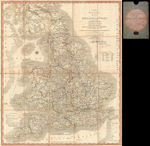
Cary’s Reduction of his Large Map of England and Wales, with part of Scotland; Comprehending the whole of the Turnpike Roads, With the Great Rivers and the Course of the different Navigable Canals: also The Market and Borough Town, and principal places adjoining the Road. To which is added, the Actual distance from one Market Town to another, with The exact admeasurement prefixed to each from the Metropolis. Published by Order of, and Dedicated with Permission to The Right Honorable the Post Masters General, by their Lordships, much Obliged & Obedient Servant, John Cary.
$550.00
Acquire
- Digital Map Information
- Suitable for large format printing
- DPI: 300
- File Size: 34.72 MB
- File Type: ZIP / TIFF
- ICC color profile embedded
- Delivered instantly via download link
A fine example of John Cary's 1815 map of england and Wales. The map covers all of england and Wales as well as parts of Scotland. Cary identifies all towns and roads, noting mileage between most destinations. First issued in 1796, this map ... (more details)
London in the Early Days of Britain's Imperial Century.
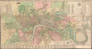
Cary's New and Accurate Plan of London and Westminster, the Borough of Southwark and parts adjacent...
$9,000.00
Acquire
- Digital Map Information
- Suitable for large format printing
- Full resolution TIFF file
- ICC color profile embedded
- Delivered instantly via download link
This is John Cary's 1816 large-format folding map of London, England. Nearly five feet in length, the map allows for the presentation of the city down to a minute level of detail at a time when its face was rapidly changing, with the construction of grand new buildings, bridges, docks, and canals. (more details)
Beautifully engraved map of Wales.
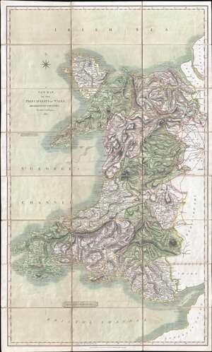
A New Map of the Principality of Wales. Divided into Counties.
$550.00
Acquire
- Digital Map Information
- Suitable for large format printing
- DPI: 300
- File Size: 26.24 MB
- File Type: ZIP / TIFF
- ICC color profile embedded
- Delivered instantly via download link
This is an 1827 John Cary map of Wales. The map depicts the country from St. George's Channel to Herefordshire, Shropshire, and Monmouthshire in England and from the Irish Sea to Bristol Channel and Somersetshire. Beautifully engraved, Cary effortlessly blends physical geography with political and man-made geography, noting counties, cities, towns, and villages throughout Wales, including Cardiff, Swansea, and Wrexham. Roads snake their way across the country, easily intertwining England and Wales. Mountains, woods, and lakes are also noted. (more details)