
Chapal, C. et E. (sold)
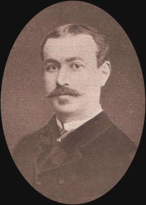
C. et E. Chapal (1832 - 1932) are French furriers and tanners active from the early 19th century to present. The firm was founded in 1832 by Leonard Chapal (1828 - 1906) and Marien Cougny (1768 - 1841) as dyers of rabbit fur in Crocq, France. Achieving some success, they expanded their operation in 1857, opening an office in Montreuil-sous-Bois, just outside of Paris. The firm then taken over by two brothers, Clément Chapal (1857 - 1920) and Émile Chapal (1858 - 1932), who renamed it C. et E. Chapal. Their offices were located at 9, Rue Kleber, Montreuil-sous-Bois. In 1881, Émile Chapal relocated to Brooklyn, New York, to found a subsidiary company, Chapal Brothers and Company of Brooklyn. The firm, operating as Maison Chapal, remains active today and is a major fashion concern.
Amazing early pictorial map promoting the furrier business of Chapal.
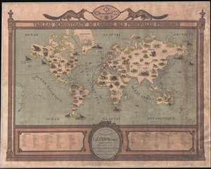
Tableau Demonstratif de L'Origine des Principales Fourrures.
sold
- Digital Map Information
- Suitable for large format printing
- File Size: 38.74 MB
- File Type: ZIP / TIFF
- ICC color profile embedded
- Delivered instantly via download link
A remarkable and rare 1917 pictorial wall map of the world issued to promote the furrier business of C. et E. Chapal. This is one of the earliest modern pictorial maps we have seen, predating the rise of pictorial cartography in the mid-1920s and its golden age in the 1930s-1940s. The map combines an informative graphics, with playful imagery, with persuasive promotional elements. (more details)
Amazing early pictorial map promoting the furrier business of Chapal.
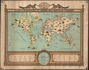
Tableau Demonstratif de L'Origine des Principales Fourrures.
sold
- Digital Map Information
- Suitable for large format printing
- File Size: 65.79 MB
- File Type: ZIP / TIFF
- ICC color profile embedded
- Delivered instantly via download link
A remarkable and rare 1917 pictorial wall map of the world issued to promote the furrier business of C. et E. Chapal. This is one of the earliest modern pictorial maps we have seen, predating the rise of pictorial cartography in the mid-1920s and its golden age in the 1930s-1940s. The map combines informative graphics with playful imagery and persuasive promotional elements. (more details)