
Cutter, Louis Fayerweather (sold)
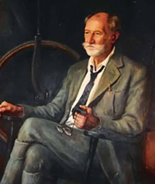
Louis Fayerweather Cutter (June 20, 1864 - June 26, 1945) was a Massachusetts based Civil Engineer. Cutter was born in Cambridge, Massachusetts and studied Civil Engineering at MIT. Cutter is best known for his contribution to the trail mapping of the White Mountains of New Hampshire. Cutter was born in Cambridge, Massachusetts. Cutter specialized in maps of the White Mountains, which he made from 1885 to 1945. Cutter's first map, published in 1885, detailed King's Ravine, Mt. Adams, and Mt. Madison. He measured distances using a handmade odometer wheel crafted from a bicycle tire and took barometric readings to determine altitude. He eventually expanded his coverage to include all of the White Mountains, becoming the official cartographer of the Appalachian Mountain Club in 1907. His maps served as the definitive resource for trekkers in the White Mountains until his death in 1945.
The 'Whites', mapped.
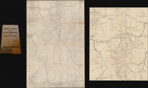
Guide to Paths in the White Mountains and Adjacent Regions. / Map of the Mount Washington Range. Part 1. / Map of the Northern Peaks.
sold
- Digital Map Information
- Suitable for large format printing
- Full resolution TIFF file
- ICC color profile embedded
- Delivered instantly via download link
This is part one of the rare third 1917 third edition of the Appalachian Mountain Club guide to the White Mountains, with the two important enclosed foldout maps by Louis F. Cutter: Map of the Mount Washington Range (1916) and Map of the Northern Peaks of the Mt. Washington Range (1917). (more details)