
Despuig y Dameto, Antonio (sold)
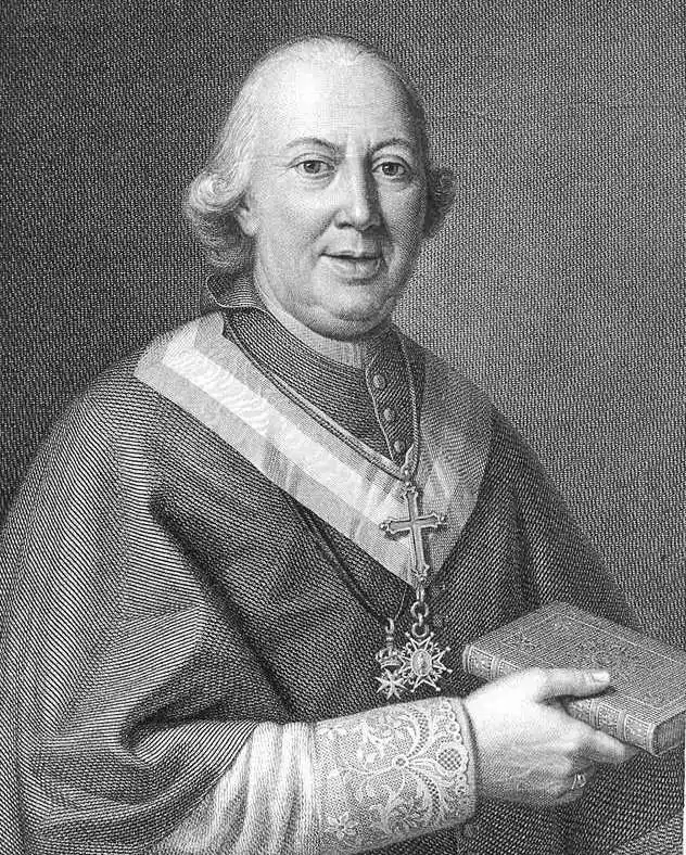
Antonio Despuig y Dameto (March 30, 1745 - May 2, 1813) was a Spanish archbishop and cardinal. Despuig was born in Palma de Mallorca in the Ca'n Montenegro, the third of eight children of Ramón Despuig Cotoner, 3rd Count of Montenegro and 5th Earl of Montoro, and his wife Maria Dameto and Sant Martí Sureda, of Catalan Bellpuig marquesal house. As a youth he was tutored privately, but eventually entered the Jesuit Colegio Montesión Palma, graduating in 1760. He received his tonsured at Palma Cathedral in 1764. In 1768 he received minor orders, became a deacon in 1771, and underwent priestly ordination in 1774. He became Canon of the Cathedral of Palma de Mallorca, and in this position traveled extensively throughout Europe. Continuing his in Mallorca, at the Estudi General Lul·lià (Universidad Luliana), receiving a doctorate in 1779. Between 1773 and 1785, he was the rector of the Estudi General Lul·lià. During this time he amassed a cartographic collection related to the island of Mallorca. In 1795 he was named was Archbishop of Seville (1795 -1799) and Latin Patriarch of Antioch (1799 - 1813). He was made a cardinal by Pope Pius VII and died in Lucca in 1813.
Extraordinary and rare map of Mallorca with decorative borders.
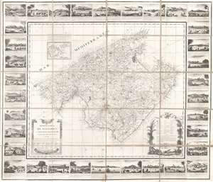
Mapa de la Isla de Mallorca sacado en escala menor del que publico el E.S. Cardenal Despuig El Año 1785.
sold
- Digital Map Information
- Suitable for large format printing
- DPI: 600
- File Size: 40.81 MB
- File Type: ZIP / TIFF
- ICC color profile embedded
- Delivered instantly via download link
An exceptionally rare 1814 / 1829 separately issued broadside map of Majorca (Mallorca), Spain, with fully illustrated surround. The map covers all of Mallorca with an inset illustrating the nearby islands of Cabrera and Conejara. It is based upon an earlier 1785 map surveyed at the order of Cardinal Antonio Despuig y Dameto. Manuel Briton, the island's Artillery Commissioner, partnered with Lorenzo María Muntaner (1782 - 1848), son of the original engraver, to revise the map for sale to tourists in 1814. The map is in Spanish, as are the caption on the surrounding views, but the imprint of Briton and Muntaner is in Catalan. The base map is quite rare and beautiful, but what makes this example special is the decorative surround featuring 34 captioned views of Majorcan towns and villages. (more details)