
Dunbar, William (sold)
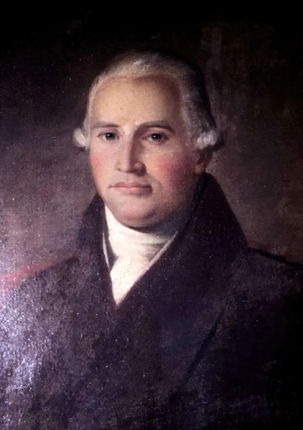
William Dunbar (1749 - 1810) was a Scottish-born businessman, surveyor, scholar, and explorer who played an important role in mapping the southern portion of the Louisiana Territory following the Louisiana Purchase. Born to an aristocratic family in Moray, Scotland, Dunbar was quiet and studious from an early age. He attended King's College in Aberdeen and was especially interested in natural sciences. As he was the fourth of his father's sons, he had few prospects in terms of inheritance, and sailed to America in 1771, settling in Philadelphia, to try his hand as a merchant. He then migrated to British West Florida and was granted land near Fort New Richmond (Baton Rouge). In 1784, he and his business partner established a large plantation near Natchez, Mississippi, where slaves primarily grew indigo and cotton. He acquired other lands in the vicinity and made additional income conducting surveys for the Spanish in Florida proper. He served as the Surveyor-General of West Florida in 1798. In 1800, he was elected to the American Philosophical Society and in his later years especially published works on a variety of topics including meteorology, astronomy, natural history, Native American languages, and American Sign Language. Through these endeavors, he gained the admiration of Thomas Jefferson, who in 1804 assigned Dunbar to lead a 15-man expedition to explore the southern portion of the Louisiana Purchase. Due to frictions with the Spanish and Native Americans, the journey had to be curtailed in its ambitions, the expedition explored the Red and Ouachita Rivers, produced the earliest detailed maps of the region, and collected a great deal of scientific data. Two years later, Dunbar was instrumental in planning a follow-up Red River Expedition (known as the Freeman-Custis Expedition), but was unable to join it himself due to poor health.
Earliest detailed mapping of the Ouachita River.
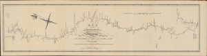
Map of the Washita River in Louisiana from the Hot Springs to the Confluence of the Red River with the Mississippi Laid down from teh Journal and Survey of Wm. Dunbar Esq. in the year 1804 by Nicholas King.
sold
- Digital Map Information
- Suitable for large format printing
- File Size: 392.79 MB
- File Type: ZIP / TIFF
- ICC color profile embedded
- Delivered instantly via download link
A 1904 reprint of a nearly unobtainable 1804 original map of the Ouachita ('Washita') River in Louisiana and Arkansas. It was engraved by Nicholas King based on a survey undertaken by William Dunbar, who led an expedition to explore the southern portion of the Louisiana Territory, similar to Lewis and Clark's more famous expedition further north. (more details)