
Espinosa y Tello, José (sold)
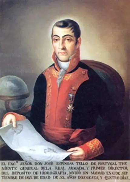
José Espinosa y Tello (March 25, 1763 - September 8, 1815) was a Spanish nobleman, naval officer, cartographer, hydrographer, and astronomer. Espinosa y Tello was born in Seville, Spain, the son of Miguel Espinosa, Count del Águila, and Isabel María Tello of Portugal. He studied astronomy at the Observatory of Cadiz and hydrography under the great Spanish chartmaker Vicente Tofiño (1732 - 1795) mapping the coasts of Spain. In 1790 he was in Acapulco, Mexico, where he met and joined the Alejandro Malaspina (1754-1809) 1789 to 1794 scientific expedition around the world. After the expedition he served as Assistant of José de Mazarredo of the Dirección General de la Armada and from 1797 headed the Dirección de Hidrografía. Following the Napoleonic Wars he was dispatched to London to manage the compilation and printing of new Spanish nautical charts. On his return to Madrid he was put in charge of the Depósito Hidrográfico. He died there in 1815.
Rare Spanish nautical chart of the Balearic Islands.
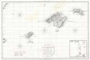
Carta Esferica de las Islas Baleares y Pithyusas, arreglada a la que se construyo en 1807 en la Dirección Hidrografica de Madrid.
sold
- Digital Map Information
- Suitable for large format printing
- DPI: 300
- File Size: 10.36 MB
- File Type: ZIP / TIFF
- ICC color profile embedded
- Delivered instantly via download link
A rare 1812 Dirección de Hidrografía nautical chart or maritime map of the Balearic Islands: Mallorca, Menorca, Ibiza and Formentera. The chart offers extraordinarily detail throughout with topography, town names rivers, roads, and depth soundings. An inset in ... (more details)
Rare Spanish nautical chart of the Balearic Islands.
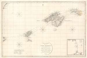
Carta Esferica de las Islas Baleares y Pithyusas, arreglada a la que se construyo en 1807 en la Dirección Hidrografica de Madrid.
sold
- Digital Map Information
- Suitable for large format printing
- Full resolution TIFF file
- ICC color profile embedded
- Delivered instantly via download link
A rare 1812 Dirección de Hidrografía nautical chart or maritime map of the Balearic Islands: Mallorca, Minorca, Ibiza and Formentera. The chart offers extraordinarily detail throughout with topography, town names rivers, roads, and depth soundings. An inset in the lower right details the channels between Ibiza and Formentera (1 : 69400). (more details)