
Ghelen, Johann Peter van (sold)

Johann Peter Van Ghelen (1673-1754) was a Viennese printer, publisher and bookseller; Perhaps in his capacity as Court Printer to the Holy Roman Emperor, he produced several maps and battle plans: among them his,Wahre Abbildung der durch die glorreiche Russische Waffen den 2. Julii 1737 mit Sturm eroberten Festung Oczakoff, the 1738 Plan der Attaque deren Turken den 9. October 1738 auf die Schantz Ratscha, and Attaque deren Wurfen auf die Linie bey Belgrad den 26. September 1738. He also executed the print version of Abraham Maas' Nova Maris Caspii et Regionis Usbeck in 1735.
Revealing Uzbek geography
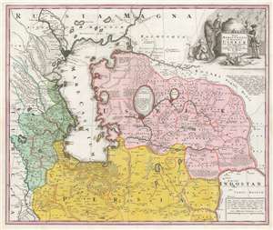
Nova Maris Caspii et Regionis Usbeck cum Provincijs adjacentibus vera Delineatio.
sold
- Digital Map Information
- Suitable for large format printing
- DPI: 600
- File Size: 69.16 MB
- File Type: ZIP / TIFF
- ICC color profile embedded
- Delivered instantly via download link
This is Abraham Maas' map of Uzbekistan and the Caspian Region, edited by Johann Peter von Ghelen and published by Homann Heirs in 1735. It was the first map to show the results of Peter the Great's initiatives to chart this ill-understood frontier of the Russian Empire, and it is the first printed map specifically of the Uzbek region. The map shows the area around the Caspian Sea and northern Iran. A broad area running eastwards from the Caspian is marked 'Uzbek;' this encompasses Turkmenistan, Uzbekistan, Kyrgyzstan, Tajikistan and part of Kazakhstan. (more details)
Revealing Uzbek geography and toponymy.
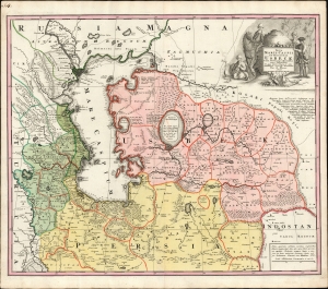
Nova Maris Caspii et Regionis Usbeck cum Provincijs adjacentibus vera Delineatio.
sold
- Digital Map Information
- Suitable for large format printing
- File Size: 26.43 MB
- File Type: ZIP / TIFF
- ICC color profile embedded
- Delivered instantly via download link
This is Abraham Maas' map of Uzbekistan and the Caspian Region, edited by Johann Peter von Ghelen and published by Homann Heirs in 1735. It was the first map to show the results of Peter the Great's initiatives to chart this ill-understood frontier of the Russian Empire, and it is the first printed map specifically of the Uzbek region. Moreover, it incorporates the first published records of the indigenous toponymy east of the Caspian. (more details)
Unrecorded Proof State: Revealing Uzbek geography and toponymy.
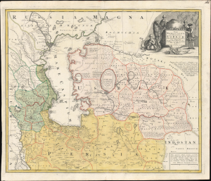
Nova Maris Caspii et Regionis Usbeck cum Provincijs adjacentibus vera Delineatio.
sold
- Digital Map Information
- Suitable for large format printing
- File Size: 26.38 MB
- File Type: ZIP / TIFF
- ICC color profile embedded
- Delivered instantly via download link
This is an unrecorded proof state of Abraham Maas' 1735 map of Uzbekistan and the Caspian Region, edited by Johann Peter von Ghelen and published by Homann Heirs. It is the first map to show the results of Peter the Great's initiatives to chart the ill-understood frontier of the Russian Empire, and it is the first printed map specifically of the Uzbek region. Moreover, it incorporates the first published records of the indigenous toponymy east of the Caspian. (more details)