
H. and C. T. Smith (sold)

H. and C. T. Smith (fl. c. 1855 - 1862) was a Philadelphia based map publisher active in the mid-19th century. The firm is commonly associated with Robert Pearsall Smith (1827 - 1898), who filed for the copyright on many of their maps. These individuals may or may not have been related. R. P. Smith did have a brother, Horace Smith, but of C. T., we can find nothing, nor can we conform Horace's involvement in H. and C. T. Publications include county wall maps of Connecticut, New York, New Jersey, and Massachusetts.
Industry and Education.
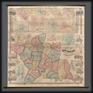
This is an impressive large-scale 1856 H. and C. T. Smith wall map of New Haven County, Connecticut. The map captures New Haven at the height of the industrial revolution, when expanding industry and railroads transformed it into a center of commerce and manufacturing. (more details)