
Hydrographic Department of Japan (sold)

The Hydrographic Department of Japan (1871 - present) was established in 1871 to carry out various marine surveys and observations for the Japanese military. Initially the Hydrographic Department did little more than collect and update British Admiralty and U.S. Hydrographic charts focusing on East Asia, however, as the department matured, it began to commission its own survey work through the region. Today the Hydrographic department has been folded into the Japanese Coast Guard's Hydrographic and Oceanographic Department.
Striking Japanese Nautical of Singapore Strait.
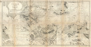
China Sea Singapore Strait.
sold
- Digital Map Information
- Suitable for large format printing
- File Size: 5.63 MB
- File Type: ZIP / TIFF
- ICC color profile embedded
- Delivered instantly via download link
This is a rare and striking large format 1923 Japanese nautical chart of Singapore Strait. Centered on Singapore Island, this maritime map covers from Great Karimum Island in the west quadrant to Pulo Bintang in the east, it extends north as far as the Malay ... (more details)
Scarce World War II Japanese Nautical Chart of the Panama Canal.
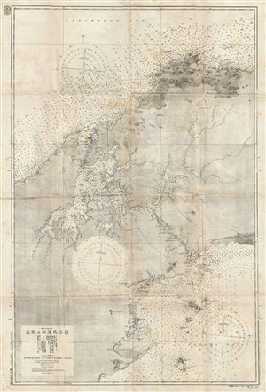
Central America Approaches to the Panama Canal.
sold
- Digital Map Information
- Suitable for large format printing
- File Size: 41.84 MB
- File Type: ZIP / TIFF
- ICC color profile embedded
- Delivered instantly via download link
A scarce Japanese World War II ear nautical chart or maritime map of the Panama Canal. The map covers the entire Canal Zone as well as the adjacent shores and islands on both the Pacific and Panama Bay sides of the isthmus. Like most Japanese charts of this ... (more details)