
Knapp, Joseph Fairchild (sold)
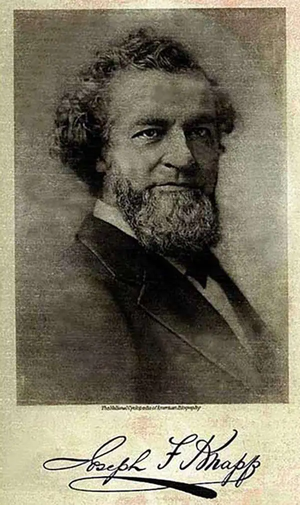
Joseph Fairchild Knapp (July 1, 1832 - September 14, 1891) was an American printer and publisher active in the second half of the 19th century. From the age of 16, Knapp apprenticed as a lithographer under Napoleon Sarony (1821 - 1896) and Henry B. Major (18?? - 18??), at the firm of 'Sarony and Major.' Henry Major either died or left the firm around 1853, with, possibly, his shares being held in reserve for his son, who was then still an apprentice, Richard C. Major. In 1857, Sarony left the firm to travel and study in Europe, Knapp and Richard Major took over the firm, becoming partners, renaming the business 'Sarony, Major and Knapp' (1857 - 1863). It is unclear why Sarony's name was maintained, possibly to capitalize on his fame, as a honorific, or possibly because he owned a major stake. Nonetheless, in 1863, Sarony, who had been absent for 7 years, was pushed out of the company which was was renamed 'Major and Knapp.' They published under this imprint from various locations over the years: 449 Broadway (1864 - 1866), 71 Broadway (1867 - 1872), and 56 Park Place (1889 - 1892). Richard Major retired in 1888, and the firm was renamed Knapp and Company. The firm grew to become one of the largest lithographic presses in the United States and a major force in American printing. Knapp invested some of his considerable wealth into insurance concerns. In 1868, he was the largest shareholder and director, and chairman of the Metropolitan Insurance Company. He became president of the Metropolitan Insurance Company in 1871, pioneering the idea of the low-cost life insurance policy, propelling MIC to become one of the largest insurers in the United States. All the time, he also continued to operate and manage his printing business, which he passed on to this son Joseph Palmer Knapp (1864 - 1951). Palmer Knapp closed 'Knapp and Company' in 1982, a year after his father's death, to establish the American Lithographic Company, which consolidated various smaller printers under a new imprint. Knapp constructed a large and elegant mansion in Brooklyn, which stood at 554 Bedford Avenue.
Profiles in Central Park along hypothetical extensions of Sixth and Seventh Avenue.
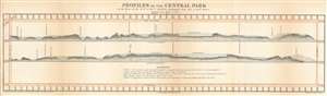
Profiles of the Central Park on the lines of the VIth and VIIt Avenues prolonged from 59th to 110th Street.
sold
- Digital Map Information
- Suitable for large format printing
- File Size: 5.56 MB
- File Type: ZIP / TIFF
- ICC color profile embedded
- Delivered instantly via download link
This 1860 Frederick Law Olmsted and Calvert Vaux profile chart or map of Central Park in New York City provides a glimpse into the wide-ranging topography of one of the world's greatest urban parks. Olmsted and Vaux employ Manhattan's iconic grid system and illustrate the topographic profiles along hypothetical extensions of Sixth and Seventh Avenues. Landmarks within the park, including the transverse roads, the carriage road, the New Reservoir, and The Bluff, are identified. Trees appear along some of the ridges, and higher ground to the west of the defined profiles appear as shadowy masses above the profiles. Manhattan's street grid borders the park on all four sides. (more details)
A rare view of a Union Army encampment in North Carolina.
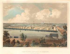
Camp Oliver 25th Mass. V. Inf., New Berne, N.C. 1862-3.
sold
- Digital Map Information
- Suitable for large format printing
- File Size: 13.86 MB
- File Type: ZIP / TIFF
- ICC color profile embedded
- Delivered instantly via download link
This is an extremely rare 1863 Voltaire Combe view of Camp Oliver, North Carolina during the American Civil War. The view depicts the camp when it was occupied by the 25th Massachusetts Volunteer Infantry during its 1862-1863 campaign in North Carolina. Per Joseph Waldo Denny, a veteran of the 25th Massachusetts, Camp Oliver 'was one of the best located and most conveniently arranged places ever occupied by the regiment. It furnished an extensive parade ground and ample room to allow company streets of more than 'Regulation' width, and a camp frontage of almost double the prescribed paces.' Denny also described life in the camp, stating that 'While at Camp Oliver, the regiment was drilled daily, the forenoons being occupied with company, and the afternoons with battalion drill.' Unfortunately, little else is mentioned. (more details)
Gold and silver.
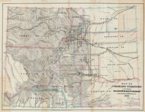
Map of the Colorado Territory to accompany Hollister's 'Mines of Colorado' corrected from the Public Surveys of 1866.
sold
- Digital Map Information
- Suitable for large format printing
- File Size: 51.64 MB
- File Type: ZIP / TIFF
- ICC color profile embedded
- Delivered instantly via download link
This is an 1867 Major and Knapp map of the Colorado Territory. Gold, silver, and coal deposits are marked throughout with the 'developed gold region' identified. The territorial capital was then at Golden City. (more details)