
Legrand, Augustin (sold)

Augustin Legrand (fl. c. 1800 - 1835) was a French engraver and publisher active in Paris in he early 19h century. Legrand is best known for his small format folding pocket globe, but also issued the 1826 Atlas Geographique et Geologique des quatres parties du monde et de la France en particulier.. He should not be confused with the 18th century au pointille engraver of the same name.
Unusual early 19th century attempt to reconcile De Fonte with Cook and Vancouver

Planisphère suivant la projection de Mercator, Élémens de Géographie Moderne a l'usage des Collèges et Maisons d'Éducation, Redigés suivant la Methodes de MM Mentelle et l'Abbé Gautier; et en accord avec les traités, Cours et Leçons adoptés pour l'instruction publique ou particulière.
sold
- Digital Map Information
- Suitable for large format printing
- DPI: 300
- File Size: 8.58 MB
- File Type: ZIP / TIFF
- ICC color profile embedded
- Delivered instantly via download link
An uncommon and attractive c. 1830 map of the world by the French map and atlas publisher Augustin Legrand illustrating several speculative northwest passages and submarine topography. Set on a Mercator Projection, the map is centered on the Pacific and includes the entire world with the exception of the extreme Arctic and Antarctic regions. The map proper is surrounded by allegorical imagery and extensive textual annotation. (more details)
Novel collapsible globe.
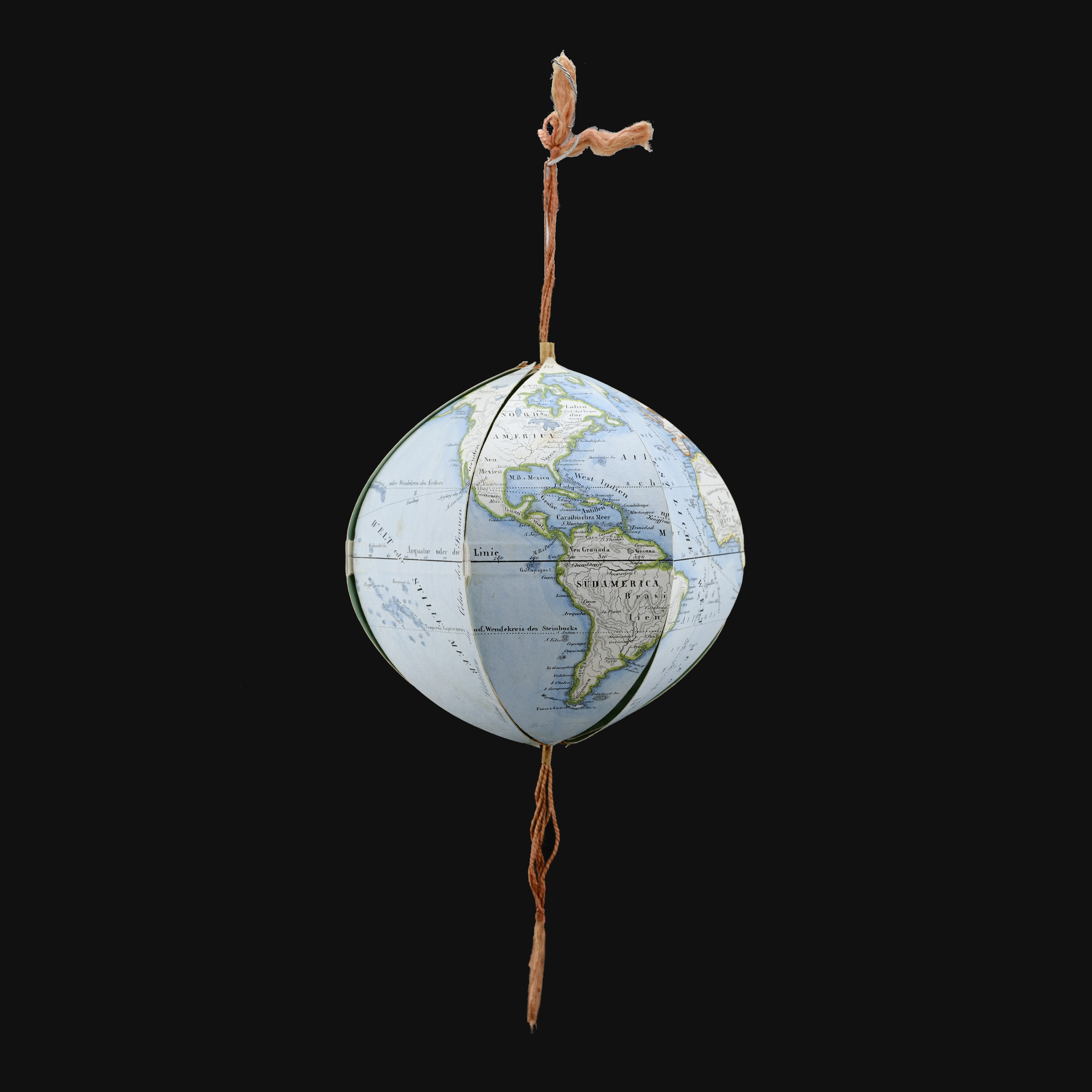
A very attractive example of Augustin Legrand's collapsible mechanical globe, here in a c. 1840 German edition. The globe is a novel educational tool, allowing the Earth to be presented as a globe, but also in various other formats, thus more deeply illustrating the curvature of the Earth and the challenges of presenting it on a flat map. Moreover, by holding the globe up to light and spinning it, one can mimic various astronomical events. (more details)
Novel collapsible globe.
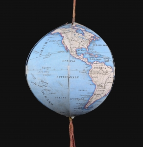
A very attractive example of Augustin Legrande's collapsible mechanical globe, here in its c. 1850 first Italian edition. The globe is a novel educational tool, allowing the globe to be presented as a globe, but also in various other formats, thus more deeply illustrating the curvature of the Earth and the challenges of presenting it on a flat map. Moreover, by holding the globe up to light and spinning it, one can mimic various astronomical events. (more details)