
Lewis, Samuel (sold)

Samuel Lewis (June 2, 1782 – February 28, 1865) was a British editor and publisher active in London, England, during the first half of the 19th century. Nothing of significance is known of Lewis's early life; however, he was most likely of humble birth and had little formal education. He was successfully involved in an important lawsuit against another English map publisher, Archibald Fullerton, which laid a significant precedent for future copyright cases. Lewis is best known for his topographical dictionaries of the British Isles; however he also produced numerous other maps including wall maps, case maps, and general atlases. Samuel Lewis and Company had several offices in and around London: 13 Coleman Street (1829 - 1830), 87 Aldersgate Street (1831-1840), 87 Hatton Garden (1842), 13 Finsbury Place (1846), and 19 Compton Terrace, Islington (1851-1865). Samuel Lewis of London should not be confused with another more important cartographer of the same name based in the United States.
One of the largest and most impressive maps of England to appear in the 19th century.
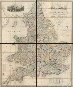
A Map of England and Wales, divided into counties, parliamentary divisions and dioceses : shewing the principal roads, railways, rivers and canals, and the seats of the nobility and gentry with the distance of each town from the General Post Office, London.
sold
- Digital Map Information
- Suitable for large format printing
- File Size: 26.5 MB
- File Type: ZIP / TIFF
- ICC color profile embedded
- Delivered instantly via download link
A striking and monumental 1846 map of England by Samuel Lewis. Lewis issued this map to accompany his Topographical Dictionary of England , first published in 1831. In four large sections, this map covers all of England as well as parts of adjacent Scotland. As ... (more details)
One of the largest and most impressive maps of Scotland to appear in the 19th century.
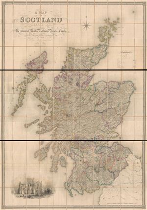
A Map of Scotland Divided Into Counties Shewing The Principal Roads, Railways, Rivers, Canals, Lochs, Mountains, Islands, etc. On A Scale Of Five Miles To An Inch.
sold
- Digital Map Information
- Suitable for large format printing
- File Size: 19.84 MB
- File Type: ZIP / TIFF
- ICC color profile embedded
- Delivered instantly via download link
A striking and monumental 1846 first edition map of Scotland by Samuel Lewis. Lewis issued this map to accompany his Topographical Dictionary of Scotland , published in 1846. In three large sections, this map covers all of Scotland as well as parts of adjacent ... (more details)