
Lynch, William F. (sold)
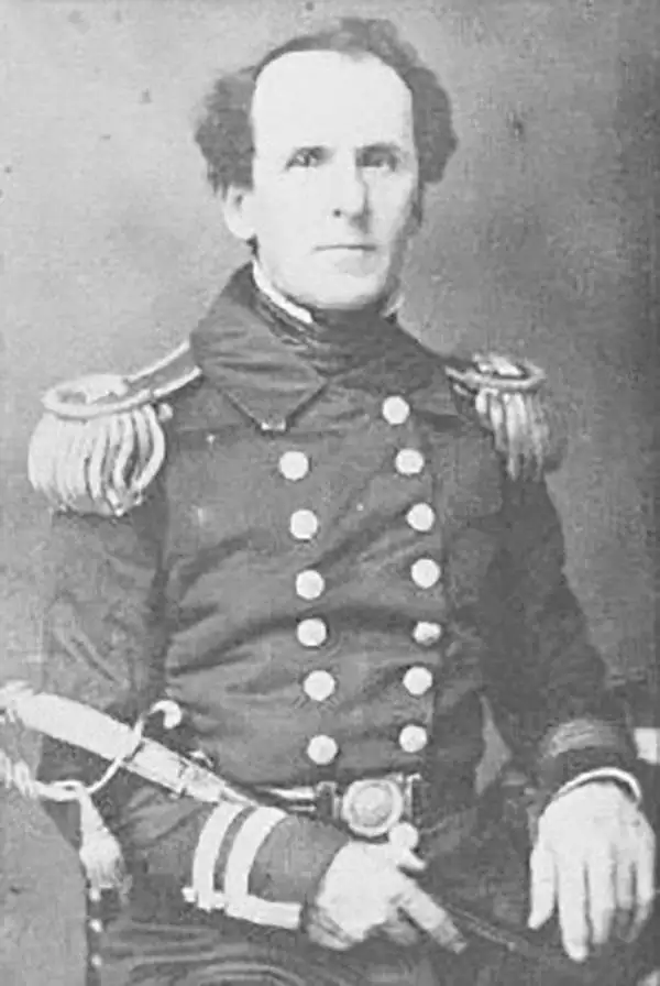
William F. Lynch (April 1, 1801 – October 17, 1865) was an American naval officer in the mid-19th century who led missions to the Middle East and Africa, producing important maps and information about the River Jordan, Dead Sea, and West African coast. A Virginia native, Lynch joined the Confederate States Navy at the start of the Civil War and saw action commanding naval defenses against Union Navy attacks, including at Vicksburg. He was paroled at the end of the war and died soon afterwards.
Liberia in its early days as an independent country.
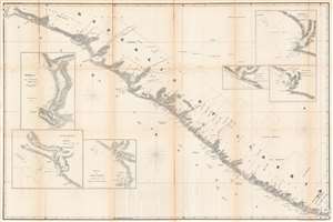
Republic of Liberia.
sold
- Digital Map Information
- Suitable for large format printing
- DPI: 600
- File Size: 142.77 MB
- File Type: ZIP / TIFF
- ICC color profile embedded
- Delivered instantly via download link
This is a rare 1853 map of Liberia produced soon after its independence (1847) by William F. Lynch, an officer in the U.S. Navy who led a mission to West Africa to explore locations for further colonization sites for free people of color. It shows detailed information on the coastline and settlements of Liberia, including the tracts of coastal land purchased by the American Colonization Society (ACS) and independent Liberia since 1822. (more details)
Perhaps the only map of Maryland in Liberia ever produced.
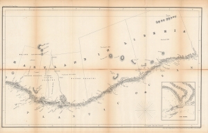
Maryland in Liberia.
sold
- Digital Map Information
- Suitable for large format printing
- DPI: 600
- File Size: 48.2 MB
- File Type: ZIP / TIFF
- ICC color profile embedded
- Delivered instantly via download link
This is an 1853 map and nautical chart of the ephemeral independent Maryland, in modern-day Liberia (or the Republic of Maryland), a colony for free people of color, which declared its independence as a republic soon after this map's production. This map was produced by William F. Lynch, an officer in the U.S. Navy who led a mission to West Africa to explore locations for further colonization sites for free people of color, along the lines of Liberia. It is the only map ever produced specifically focusing on the ephemera African state of Maryland. (more details)