
Maas, Abraham (sold)

Abraham Maas (fl. 1715-1735) was a Dutch cartographer; little is known of his background, but he was among the western European geographers employed at the Russian Academy of Sciences. He is known to have produced maps of the Gulf of Finland (1700), the River Dessekebe (1706), and the first map to apply the name 'Uzbek' geographically, Tabula Nova de Mare Caspium et Usbekorum region.) The latter would provide the basis for Nova Maris Caspii et regionis Usbeck, cum provincijs adjacentibus vera delinetio), reduced by Johann Peter van Ghelen and published by Homanns Heirs in 1735. He also produced a very accurate chart of St. Petersburg in 1734.
Revealing Uzbek geography
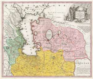
Nova Maris Caspii et Regionis Usbeck cum Provincijs adjacentibus vera Delineatio.
sold
- Digital Map Information
- Suitable for large format printing
- DPI: 600
- File Size: 69.16 MB
- File Type: ZIP / TIFF
- ICC color profile embedded
- Delivered instantly via download link
This is Abraham Maas' map of Uzbekistan and the Caspian Region, edited by Johann Peter von Ghelen and published by Homann Heirs in 1735. It was the first map to show the results of Peter the Great's initiatives to chart this ill-understood frontier of the Russian Empire, and it is the first printed map specifically of the Uzbek region. The map shows the area around the Caspian Sea and northern Iran. A broad area running eastwards from the Caspian is marked 'Uzbek;' this encompasses Turkmenistan, Uzbekistan, Kyrgyzstan, Tajikistan and part of Kazakhstan. (more details)
Revealing Uzbek geography and toponymy.
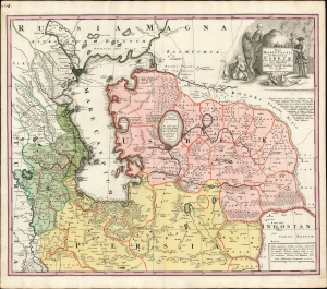
Nova Maris Caspii et Regionis Usbeck cum Provincijs adjacentibus vera Delineatio.
sold
- Digital Map Information
- Suitable for large format printing
- File Size: 26.43 MB
- File Type: ZIP / TIFF
- ICC color profile embedded
- Delivered instantly via download link
This is Abraham Maas' map of Uzbekistan and the Caspian Region, edited by Johann Peter von Ghelen and published by Homann Heirs in 1735. It was the first map to show the results of Peter the Great's initiatives to chart this ill-understood frontier of the Russian Empire, and it is the first printed map specifically of the Uzbek region. Moreover, it incorporates the first published records of the indigenous toponymy east of the Caspian. (more details)
Unrecorded Proof State: Revealing Uzbek geography and toponymy.
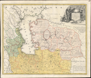
Nova Maris Caspii et Regionis Usbeck cum Provincijs adjacentibus vera Delineatio.
sold
- Digital Map Information
- Suitable for large format printing
- File Size: 26.38 MB
- File Type: ZIP / TIFF
- ICC color profile embedded
- Delivered instantly via download link
This is an unrecorded proof state of Abraham Maas' 1735 map of Uzbekistan and the Caspian Region, edited by Johann Peter von Ghelen and published by Homann Heirs. It is the first map to show the results of Peter the Great's initiatives to chart the ill-understood frontier of the Russian Empire, and it is the first printed map specifically of the Uzbek region. Moreover, it incorporates the first published records of the indigenous toponymy east of the Caspian. (more details)