
Marchant, J. (sold)

J Marchant (fl. c. 1825 - 1869) was a British illustrator and cartographer whose most prominent work was in the variosu editions of Tallis's Illustrated Atlas and Modern History of the World.
Asia in the era of imperial competition.
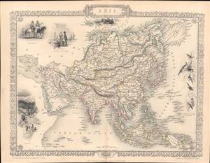
Asia.
sold
- Digital Map Information
- Suitable for large format printing
- Full resolution TIFF file
- ICC color profile embedded
- Delivered instantly via download link
This is a rare and beautifully illustrated 1851 map of Asia by John Rapkin that appeared in Tallis's Illustrated Atlas and Modern History of the World. It shows Asia on the eve of rapid European imperial expansion, which would soon bring much of the territory shown here under direct or indirect control. (more details)
Disapproval for American Expansionism after the Mexican American War.
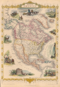
North America.
sold
- Digital Map Information
- Suitable for large format printing
- File Size: 11.13 MB
- File Type: ZIP / TIFF
- ICC color profile embedded
- Delivered instantly via download link
This is John Tallis's c. 1851 map of North America, drawn and engraved by John Rapkin. It is most notable for including an ephemeral depiction of the borders of North America in the wake of the Mexican-American War (1846 - 1848), though not entirely reflecting the changes brought about by the 1848 Treaty of Guadalupe Hidalgo, perhaps a veiled criticism of the new territorial acquisitions of the United States. (more details)