
Marre, Jan Harmenszoon de (sold)
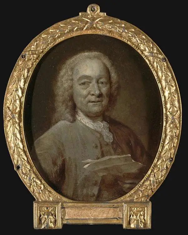
Jan Harmenszoon de Marre (August 23, 1696 - January 19, 1763) was a Dutch navigator, writer, and VOC agent active in the 18th century. De Marre was born in Amsterdam. While he received limited schooling, he associated himself from 1708, at age 12, with the United East India Company (VOC). He spent 23 years with the VOC, rising to ship captain, and vice-admiral. When he retiruned from active voyaging, the became the Examiner of the Amsterdam Chamber of the East Indies Company. In 1744, he was instructed to help Johannes II van Keulen (1704 - 1755) compile and construct secret VOC nautical charts of the East Indies into a new sixth volume of the Zee-Fakkel, which was published in 1753 - the first-time secret VOC hydrography saw print. Although his contribution to cartography was groundbreaking, de Marre is better known as a playwright and poet, his most famous works being Eerkroon voor de Caab de Goede Hoop, Batavia, and Jacoba van Beieren. He died in Amsterdam in 1763.
VOC's Secret Map of the critical passage around Madagascar to the Indies.
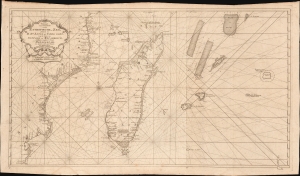
Paskaart van een Gedeelte van de Aethiopische-Zee, Strekkende van R. Sta. Lucia tot C. del Gado, Langs de Kusten van Suffalo en Mocambique, Bevattende Insgelyks 't Eiland Madagascar met Desselfs Onderhorige Eilanden.
sold
- Digital Map Information
- Suitable for large format printing
- File Size: 45.51 MB
- File Type: ZIP / TIFF
- ICC color profile embedded
- Delivered instantly via download link
This is an extremely rare 1753 Johannes II van Keulen / Jan de Marre nautical map of Madagascar, Mauritius, and the adjacent coast of Africa compiled for the sixth volume of the Zee-Fakkel - the Dutch East India Company's legendary 'Secret Atlas.' The map reveals tightly controlled navigational secrets when Madagascar was a haven not only for the world's most notorious pirates (including Captain Kidd) but also a source for the Atlantic Slave Trade. (more details)
The VOC's Secret Map of the South China Sea.
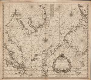
Nieuwe Caart strekkende van Banca, langs de kusten van Malacca, Siam, Cambodia, Cochinchina, als meede een gedeelte van de Eylanden Luçon, Borneo, et c. met alle dresslss Havens, Dieptens en Ankergronden.
sold
- Digital Map Information
- Suitable for large format printing
- DPI: 600
- File Size: 580.26 MB
- File Type: ZIP / TIFF
- ICC color profile embedded
- Delivered instantly via download link
The rare 1753 Johannes II van Keulen / Jan de Marre nautical map of the South China Sea compiled for the sixth volume of the Zee-Fakkel - the legendary Dutch East India Company (VOC - Vereenigde Oostindische Compagnie) 'Secret Atlas.' The map covers the South China Sea and Gulf of Thailand - thus embracing Singapore, Malaya, southern Thailand (Siam), Cambodia, southern Vietnam, most of Borneo, and parts of the Philippines. The map illustrates the most important waters and most dangerous sea passages in the East Indies. It was an essential navigational reference for VOC ships sailing from Malacca, through the Straits of Singapore, or north from Batavia for Siam (Bangkok), Laauwec (Cambodia), Nagasaki, Canton (Guangzhou), Macao, or Manila. (more details)