
Mayer, Tobias (sold)
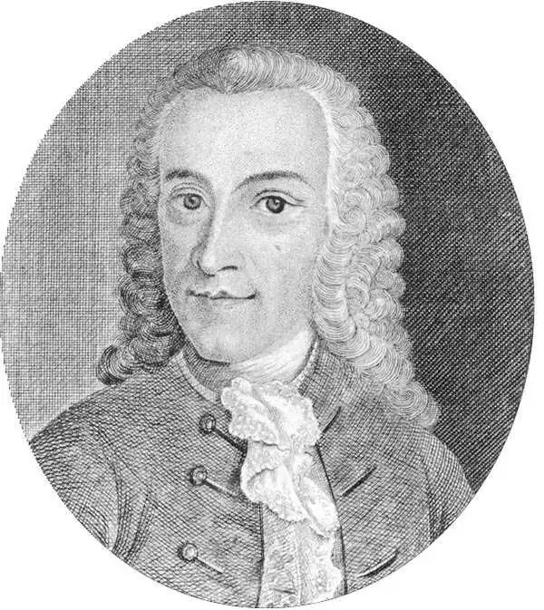
Tobias Mayer (February 17, 1723 - February 20, 1762) was a German astronomer and cartographer famous for his studies of the Moon. He was born in Marbach, Germany and raised in Esslingen in poverty. Between 1744 and 1746, Mayer studied engraving in Augsburg under Andreas Silbereisen (1713 - 1751). Moving to Nuremberg, he began working for the Homann Heirs company in 1746. There, he showed outstanding prowess and introduced many improvements to cartography. For example, Mayer composed Mappa Critica, which illustrated the accuracy, or rather lack thereof, of the latitudes and longitudes of locations in Germany. The map showed three Germanies according to three different cartographers, de l'Isle, Homann, and himself. 'The latitudes of the cities was mostly consistent, whereas the longitudes of some places (such as Dresden or Prague) differed by as much as a degree, thus showing to what extent longitude was problematic even on land' (Wepster, Steven, Between Theory and Observations: Tobias Mayer's Explorations of Lunar Motion, 1751-1755, Berlin, 2009). Mayer went on to create some of the first charts of the Moon and his chart of the full moon was unsurpassed for half a century. His fame comes from his lunar tables, and thanks to his scientific reputation he was elected as the chair of economy and mathematics at the University of Göttingen in 1751. He became superintendent of the observatory in 1754, where he worked until his death in 1762. Mayer is occasionally erroneously referred to as 'the Elder' or 'Johann Tobias the Elder.'
Stunning large format old color map of the East Indies.
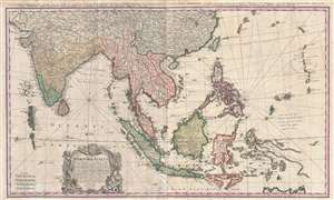
Carte des Indes orientales dessinée suivant les observations les plus recentes, dont le principal est tirée des cartes hydrographiques de Mr. D'Apres de Mannevillette. Dediée tres humblement à Son Altesse Serenissime Monsgr. le Prince Guillaume Charles Henry Friso, Souverain Prince d'Orange, Pr. de S.E. de Nassa, Stadthoudre hereditaire, Admiral et General Capit. des Provinces unies etc. etc, Chevalier de l'Ordre de Jarretiere, par ses tres humbles et tres soumis serviteurs l'Auteur et les. Heritiers de Homan. I. Feuille dans la quelle on represente les Indes deca la Riviere de Ganges, le Golfe de Bengale, Siam, Malacca, Sumatra. II. Feuille, qui comprend les isles de Sonde, l'archipel des Philippines, & les isles Moluques. dresseé par Mr. Tobie Mayer de la Societé Geograph.
sold
- Digital Map Information
- Suitable for large format printing
- Full resolution TIFF file
- ICC color profile embedded
- Delivered instantly via download link
This is a beautiful old color 1748 Homann Heirs map of India, Southeast Asia, and the East Indies. This map stretches from India, the Maldives, and Sri Lanka (Ceylon) in the west to the Marianas in the east, and China and Tibet in the north to Indonesia and ... (more details)