
Meyer, Ernest Ludolph (sold)
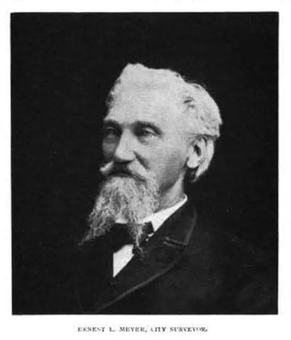
Ernest Ludolph Meyer (August 26, 1828 - April 3, 1902) was a German American civil engineer, surveyor, and mapmaker. Born in Horneburg, Lower Saxony, Germany, Meyer arrived in the United States in 1851. Meyer served as City Surveyor of Elizabeth, New Jersey, for nearly thirty-five years. He planned Elizabeth's entire sewer system and devised the changes abolishing crossings at Elizabeth by the Pennsylvania and New Jersey Central railroads. Meyer's maps were recognized for their 'historical accuracy'. Meyer also designed Evergreen Cemetery in Elizabeth.
Urbanization of Elizabeth, New Jersey.
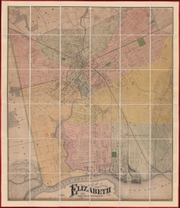
Map of the City of Elizabeth.
sold
- Digital Map Information
- Suitable for large format printing
- File Size: 95.52 MB
- File Type: ZIP / TIFF
- ICC color profile embedded
- Delivered instantly via download link
This is a previously uncatalogued 1871 Ernest L. Meyer and W. F. Wonneberg cadastral wall map of Elizabeth, New Jersey. This map is a unique record of the urban expansion of Elizabeth through the late 19th century. (more details)