
Michler, Nathaniel
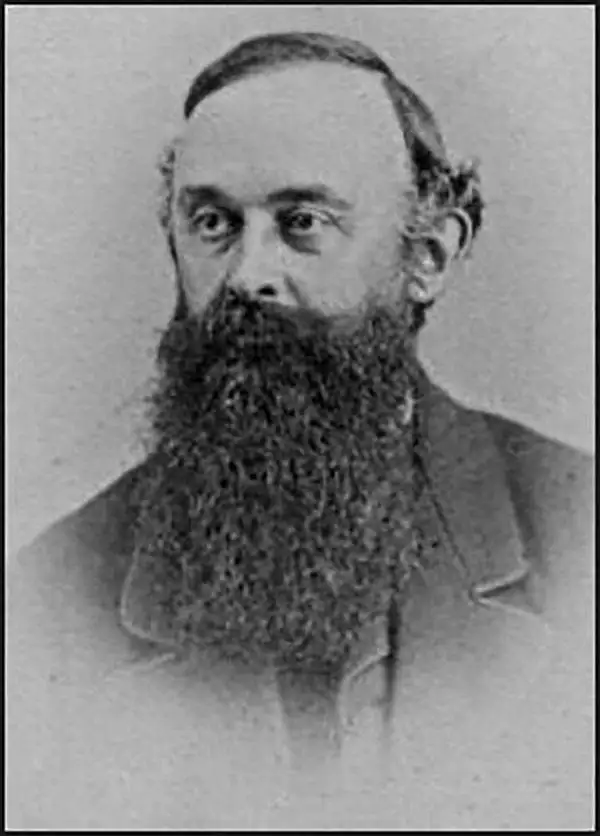
Nathaniel Michler (September 13, 1827 - July 17, 1881) was an American military officer and mapmaker who served during the American Civil War. Born in Easton, Pennsylvania, Michler attended West Point, from which he graduated seventh in his class. Commissioned as a 2nd Lieutenant in the Topographical Engineers, Michler participated in the Mexican Boundary Survey from 1851 until 1857, when he was transferred to serve as the chief topographical engineer in surveys for a proposed canal from the Gulf of Darien to the Pacific Ocean from 1858 until 1860. He held the rank of Captain at the outbreak of the American Civil War and served with the Army of the Cumberland from 1861 - 1863, then was transferred to the Army of the Potomac and built defensive works for the Union Army at the Battles of the Wilderness, Spotsylvania, Cold Harbor, and Petersburg. He was promoted to Colonel in August 1864 and brevetted Brigadier General in April 1865. After the war, Michler served as superintendent in the District of Columbia until 1871 and from 1872 to 1875 was chief engineer with the General Commanding Division of the Pacific. He acted as military attaché for the United States Legation in Vienna, Austria from 1878 to 1880.
The first published map of the area around Appomattox Court House - where the U.S. Civil War ended.
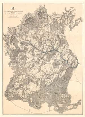
Appomattox Court House.
$450.00
Acquire
- Digital Map Information
- Suitable for large format printing
- File Size: 51.46 MB
- File Type: ZIP / TIFF
- ICC color profile embedded
- Delivered instantly via download link
This is an 1867 John Weyss and Nathaniel Michler map of Appomattox Court House, Virginia, where the American Civil War came to a close. The map depicts the region from Appomattox Station on the South Side Railroad to the Jenkins homestead and from the homestead of L. Marshall to Evergreen Station. Beautifully engraved, the area surrounding Appomattox Court House is illustrated in detail, with numerous homesteads noted throughout. Roads traverse the area, along with the South Side Railroad, and rivers and streams are noted. Forests and hills are also included. Troop locations and movements, however, are not depicted. (more details)
Lee's retreat from Richmond.
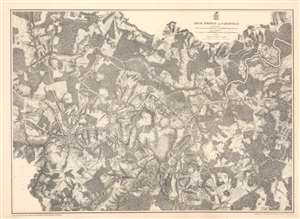
High Bridge and Farmville.
$375.00
Acquire
- Digital Map Information
- Suitable for large format printing
- File Size: 62.46 MB
- File Type: ZIP / TIFF
- ICC color profile embedded
- Delivered instantly via download link
This is an 1867 John Weyss and Nathaniel Michler map of the Battle of High Bridge, Virginia (1865) - a late American Civil War (1861- 1865) engagement of the Appomattox Campaign. The map depicts the region from the farmstead of A. Adams to the Parkinson homestead and from the home of H. Burt to Rice's Depot. Numerous other homesteads, farmsteads, churches, and mills are identified, along with Farmville and Jamestown on the Appomattox River, and Rice's Depot. The map highlights roads in the region, including the important Agola Road. (more details)
Ending the stalemate.
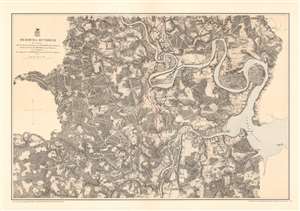
Bermuda Hundred.
$375.00
Acquire
- Digital Map Information
- Suitable for large format printing
- File Size: 48.99 MB
- File Type: ZIP / TIFF
- ICC color profile embedded
- Delivered instantly via download link
This is an 1867 John Weyss and Nathaniel Michler map of the Bermuda Hundred Campaign during the American Civil War. The map depicts the region from the Dunnson farm to the Jordan's Point Lighthouse on the James River and from Chaffin's Bluff and Drury's (Drewry's) Bluff to the J. Mason farm. (more details)
Lee's final victory.
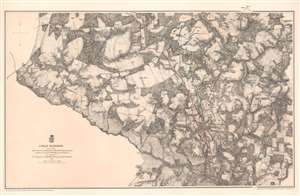
Cold Harbor.
$375.00
Acquire
- Digital Map Information
- Suitable for large format printing
- File Size: 53.87 MB
- File Type: ZIP / TIFF
- ICC color profile embedded
- Delivered instantly via download link
This is an 1867 John Weyss and Nathaniel Michler map of the battlefield of Cold Harbor, Virginia. The map depicts from the Virginia Central Railroad to Emanuel Church and Black Creek Church and from the Linney Farm to the Taylor Farm. The last battle of Union Lieutenant General Ulysses S. Grant's Overland Campaign, the Battle of Cold Harbor was a lopsided victory for General Robert E. Lee and the Confederacy, but it would prove to be his last. Grant had achieved the goal of the Overland Campaign and forced Lee into defending Richmond, the capital of the Confederacy, and Petersburg behind a network of trenches and other fortifications. Soon after the Battle of Cold Harbor, the Richmond-Petersburg Campaign, more popularly known as the Siege of Petersburg, began. This campaign was a nine-month saga of trench warfare and small battles, culminating in the capture of Petersburg and the evacuation of Richmond by the Confederate government. (more details)
The first significant Union victory during the U.S. Civil War.
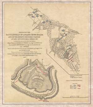
Sketch of the Battlefield of Logan's Cross Roads and of the Enemy's Fortified Position at and opposite Mill Spring, KY.
$375.00
Acquire
- Digital Map Information
- Suitable for large format printing
- File Size: 3.21 MB
- File Type: ZIP / TIFF
- ICC color profile embedded
- Delivered instantly via download link
This is an 1877 separate issue Edmund Ruger and Nathaniel Michler map of the American Civil War Battlefield of Logan's Cross Roads / Mill Springs. Located near present-day Nancy, Kentucky, the map depicts the region in two sections: one from the intersection of the Jamestown Road and the Somerset Road to a Confederate Field Hospital along the Mill Spring Road, and then from approximately 1.25 miles from Mill Spring across the Cumberland River to Mill Spring. By separating the map, the cartographer was able to illustrate two separate actions (the Battle of Logan's Cross Roads and the Confederate entrenchment at Mill Spring) on the same sheet. In depicting the Battle of Logan's Cross Roads, numerous Union encampments are illustrated and labeled, as are positions occupied by both Union and Confederate troops. The course of the battle is also included by using shading to illustrate how the Union and Confederate positions changed throughout the battle; Union forces are marked with blue and Confederate positions are noted in red. (more details)