
Mut i Armengol, Vicente (sold)
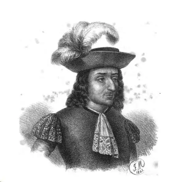
Vicente Mut i Armengol (1614–1687) was a Mallorcan astronomer, engineer, historian, mathematician and soldier. He wrote treatises on artillery, astronomy and Mallorcan history, and helped build the city defenses of Mallorca. In 1686 he engraved, or caused to be engraved, a detailed map of Mallorca - very likely the first printed map of the island produced by someone who lived there.
The first map of the Balearic Islands based on firsthand knowledge.
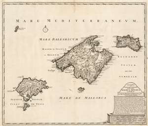
Baleares seu Gymnesiae et Pityusae insulae dictae Maiorca, Minorca et Yvica.
sold
- Digital Map Information
- Suitable for large format printing
- DPI: 600
- File Size: 55.98 MB
- File Type: ZIP / TIFF
- ICC color profile embedded
- Delivered instantly via download link
This is a superbly detailed map of the Balearic Islands by Renard and Josua Ottens, in what appears to be a scarce early state, as early as 1720. The map is oriented to the north, and includes the major islands of Mallorca, Menorca, Ibiza, and Formentera as well as the smaller Cabrera, Dragonera, and Monte Colibre. Mallorca and Menorca, in particular, are superbly detailed. All the major islands' terrain is richly and expertly engraved, illustrating topography, forests, and cultivated areas pictorially. Roads, cities, salt flats, and fortifications are depicted. Anchorages are indicated, in several cases with depth soundings. The elegant, spare cartouche features a brief history of the rulers of the islands, up to the English capture and occupation of Menorca in 1708. (more details)
First map of the Balearic Islands based on firsthand knowledge.
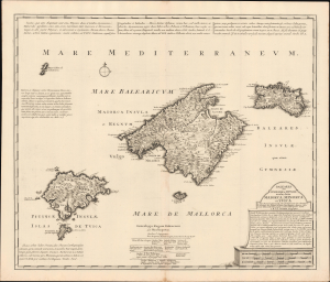
Baleares seu Gymnesiae et Pityusae insulae dictae Maiorca, Minorca et Yvica.
sold
- Digital Map Information
- Suitable for large format printing
- Full resolution TIFF file
- ICC color profile embedded
- Delivered instantly via download link
This is a superbly detailed c. 1725 map of the Balearic Islands by Renard and Josua Ottens. It draws on earlier maps by Johannes van Keulen and the local scholar Vicente Mut i Armengol, while adding notes on the islands' history and quotes from classical texts, providing a comprehensive overview. (more details)