
Rodgers, Augustus Frederick (sold)

Augustus Frederick Rodgers (January 1, 1829 - December 9, 1908) was an American military officer active in California with the United States Coast Survey. He was born in Washington D.C., the son of John Rodgers (1812 - 1882), and American Commodore who notably defended Baltimore during the War of 1812. Rodgers was appointed to the US. Coast Survey in 1847 and assigned to the task of overseeing the survey of the California coast. His Coast Survey work included mappings of California, Oregon, and Washington coasts, Alaska, the Hawaiian Island, and the Philippines. He remained active with the survey in San Francisco, California, until his death in 1908.
The culmination of the U.S. Coast Survey's work around San Francisco.
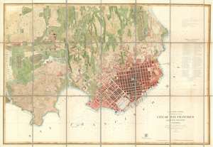
City of San Francisco and its Vicinity California.
sold
- Digital Map Information
- Suitable for large format printing
- File Size: 46.58 MB
- File Type: ZIP / TIFF
- ICC color profile embedded
- Delivered instantly via download link
A rare separate issue 1859 coastal chart and map of San Francisco, California by Augustus F. Rodgers of the U. S. Coast Survey. Oriented to the west, this map depicts the immediate city of San Francisco and surrounding areas as far as the Mission de Dolores and Rancho San Miguel. The chart was issued about ten years following the population explosion brought on by the 1849 California Gold Rush. It depicts the city extending only about eleven city blocks from the waterfront. Piers, wharfs, parks and roads as well as important individual buildings such as the City Hall, the Post Office, hospitals, and churches, are all labeled. Text recording data on public buildings, reservoirs, sailing notes, shoals, and tidal notations are included on the top left and lower right corners of the map. Depth soundings throughout. (more details)
The culmination of the U.S. Coast Survey's work around San Francisco.
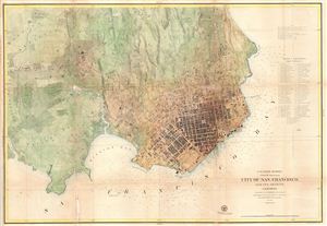
City of San Francisco and its Vicinity California.
sold
- Digital Map Information
- Suitable for large format printing
- File Size: 31.03 MB
- File Type: ZIP / TIFF
- ICC color profile embedded
- Delivered instantly via download link
A rare coastal chart of San Francisco by the U. S. Coast Survey, 1859. Oriented to the west, this map depicts the immediate city of San Francisco and surrounding areas as far as the Mission de Dolores and Rancho San Miguel. The chart was issued about ten years ... (more details)
The culmination of the U.S. Coast Survey's work around San Francisco.
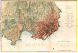
City of San Francisco and its Vicinity California.
sold
- Digital Map Information
- Suitable for large format printing
- File Size: 27.09 MB
- File Type: ZIP / TIFF
- ICC color profile embedded
- Delivered instantly via download link
A rare coastal chart of San Francisco by the U. S. Coast Survey, 1859. Oriented to the west, this map depicts the immediate city of San Francisco and surrounding areas as far as the Mission de Dolores and Rancho San Miguel. The chart was issued about ten years ... (more details)