
Ruger, Albert (sold)
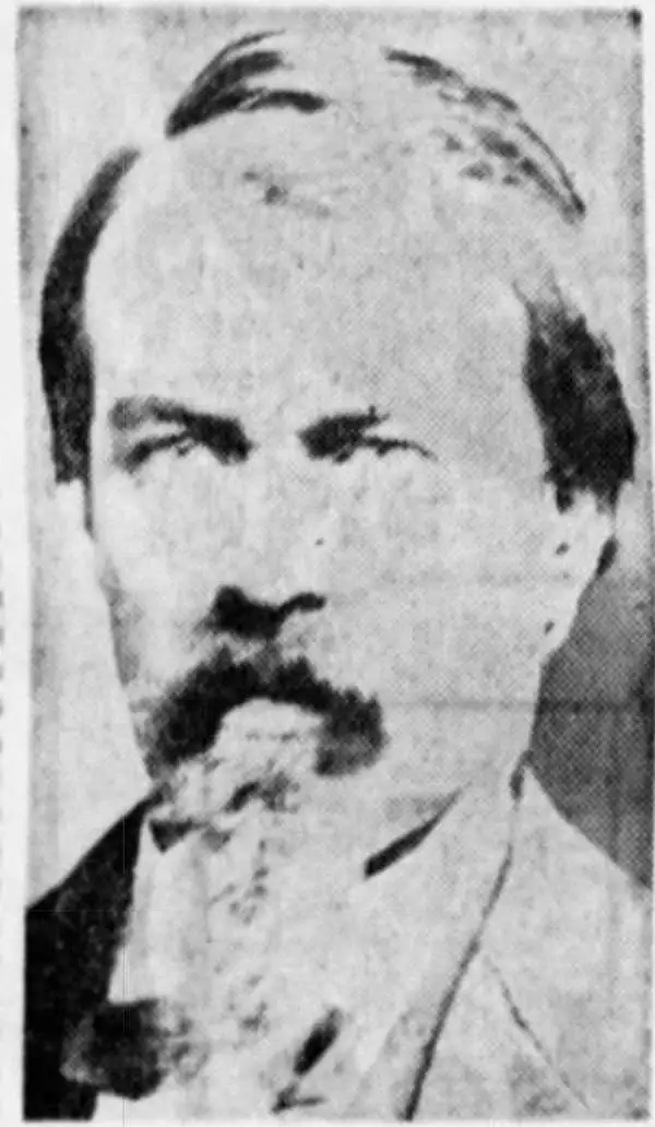
Albert Ruger (August 29, 1828 - November 12, 1899) was an important Prussian-American viewmaker active in the mid to late 19th century. Ruger was born in Prussia and immigrated to America as a young man sometime before 1850. He lived for a time in Akron, Ohio, where he was an apprenticed stone mason. By 1860, he had his own journeyman and apprentice. Near the end of the American Civil War, Ruger enlisted with the 196 Ohio Infantry. His first views date to this period and illustrate Union camps and an 1865 view of Columbus, where he was stationed. Discovering a talent for viewmaking, Ruger abandoned his work as a stonemason to move to Battle Creek, Michigan, and pursue a new career. Like most view makers, Ruger's views were sold by subscription and most were self-published. Ruger worked with a variety of other view makers and publishers, among them Eli S. Glover, Thaddeus M. Fowler, Joseph J. Stoner (Ruger and Stoner), and Augustus Koch. Ruger's work is distinctive, presenting cities from an exceptionally altitudinous perspective, giving his views a notably maplike quality Moreover, Ruger is significant in the corpus of view making. He is considered the first American viewmaker to achieve commercial success. Moreover, he is noteworthy not only for the quantity of his views, about 175, but also for the subject matter, focusing on southern and western cities following the Civil War. Ruger died in Akron, Ohio, at 71.
Full color foe of Dover, New Hampshire!
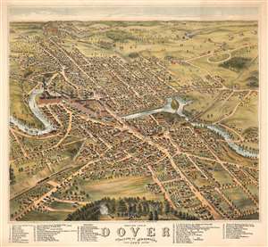
Bird's Eye View of Dover Strafford Co. New Hampshire looking southwest 1877.
sold
- Digital Map Information
- Suitable for large format printing
- File Size: 75.71 MB
- File Type: ZIP / TIFF
- ICC color profile embedded
- Delivered instantly via download link
A stunning 1877 Albert Ruger three-color chromolithograph view of Dover, New Hampshire, set against a backdrop the rolling hills of southern New Hampshire. The view looks southwest on Dover from a hypothetical high point well above Garrison Hill. With a sufficiently altitudinous perspective to present a map-like layout of Dover, the view centers on the Cocheco River and extends broadly in all directions, revealing a bustling mill town at its height. The Boston and Maine Railroad enters town from the lower left corner. The T-shaped Washington Street Mills, at a sharp bend in the Cocheco River, still stands and now hosts a variety of businesses, restaurants, galleries, and even a church. (more details)
Stunning highly detailed bird's-eye view of Portsmouth, New Hampshire.
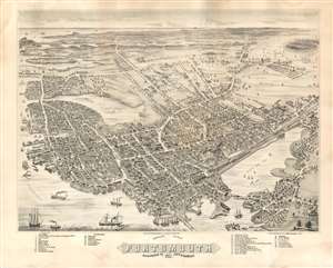
Bird's Eye View of Portsmouth Rockingham Co. New Hampshire, 1877.
sold
- Digital Map Information
- Suitable for large format printing
- File Size: 46.36 MB
- File Type: ZIP / TIFF
- ICC color profile embedded
- Delivered instantly via download link
A rare and highly-detailed Albert Ruger and Joseph Stoner bird's-eye view map of Portsmouth, New Hampshire. The view looks south on Portsmouth from an imaginary high point above Badger's Island. The map centers on the juncture of the Piscatuaqua River and the North Mill Pond. The South Mill Pond (Sagamore Creek) is visible in the distance, as is the Atlantic. Streets are named and individual buildings rendered. Of note are some 36 alphanumerically associated locations, among them civic offices, churches, academies, breweries, churches, lumber yards, and more. The W. F. Fernald Shipyard where is large sailboat is under constructions. Other notable commercial buildings depicted include the Frank Jones Brewery, the Eldridge Brewing Company, and the Kearsarge Mills. Ships, both sail and steam, ply the busy harbor which is connected by the Eastern and Concord Rail Road to locations inland. (more details)