
Salt, Henry (sold)
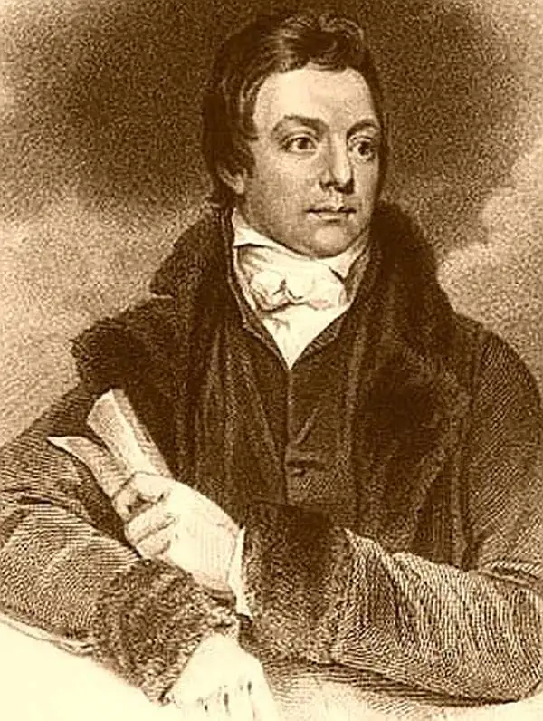
Henry Salt (June 14, 1780 - October 30, 1827) was a British artist, traveler, diplomat, and Egyptologist active in the first decades of the 19th century. Salt was trained as an artist and traveled extensively in Asia as secretary and draughtsman to George Annesley, the Veiscount Valentia. His first expedition, which lasted from about 1802 to 1806 involved travels to Cape Colony, the east coast of Africa, the Ethiopian Highlands, and India. His paintings from the expedition were published in Annelsey's 1809 Voyages and Travels to India. Afterwards Salt returned to Africa on a government sponsored mission to Ethiopia in the hopes of establishing diplomatic and trade relationships with the Tigrayan warlord Ras Wolde-Sillasie. Salt published the narrative of this expedition in his 1814 book A Voyage to Abyssinia, which also featured a collection of important maps. Today Salt is best known as an Egyptologist and collector of antiquities. In 1815 he was appointed British Consul-General in Cairo, where he dedicated himself to building a vast collection of Egyptian antiquities. Around this time, the ancient monuments and tombs of Egypt were a free-for-all for enterprising Europeans with a penchant for antiquities. Salt and other European adventurers, among them Italian Bernardino Drovetti, had hard reputations and were willing to stop at nothing to obtain choice pieces. Among Salt's top acquisitions are the head of Ramses II and the sarcophagus of Ramses III, located at the British Museum and the Louvre, respectively. Salt built three massive collections, each containing thousands of artifacts. Most of these pieces were acquired by the British Museum, where they rest to this day, though some did find their were to other institutions, such as the Louvre, and into various private collections.
One of the most attractive maps of Alexandria to appear in the 19th century.
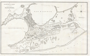
A Geometrical Survey of the City of Alexandria.
sold
- Digital Map Information
- Suitable for large format printing
- DPI: 300
- File Size: 16.24 MB
- File Type: ZIP / TIFF
- ICC color profile embedded
- Delivered instantly via download link
A finely engraved example of the British gentleman explorer and Egyptologist Henry Salt's large scale map of Alexandria Egypt. This map covers the urban center of Alexandria including the Old Harbor, the New Harbor, the Peninsula in between, and south as far as ... (more details)
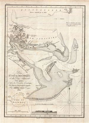
Plan du Port de Mozambique et du Pays Adjacent.
sold
- Digital Map Information
- Suitable for large format printing
- Full resolution TIFF file
- ICC color profile embedded
- Delivered instantly via download link
A scarce and important 1809 Henry Salt nautical chart or maritime map of the port and island of Mozambique, Nampula Province, Mozambique, Africa. The map covers the Harbor of Mazambique, the city of Mossuril, and the Island of Mozambique, as well as some of ... (more details)
Scarce map illustrating Salt's discovery of the ancient lost city of Adulis.
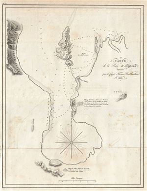
Carte de la Baie D'Annesley.
sold
- Digital Map Information
- Suitable for large format printing
- DPI: 300
- File Size: 6.25 MB
- File Type: ZIP / TIFF
- ICC color profile embedded
- Delivered instantly via download link
A scarce and important 1810 Henry Salt nautical chart or maritime map of Annesley Bay (Gulf of Zula, Bay of Arafali), Eritrea, Africa. The bay is located about 30 miles south of the modern day Eritrean city of Massawa. The map covers the bay in some detail ... (more details)
Scarce map showing the Salt's rediscovery of Opsian Bay, known in antiqity as the site of the Opsian Stone.
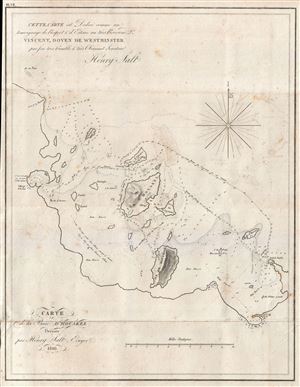
Carte de la Baie D'Houakel.
sold
- Digital Map Information
- Suitable for large format printing
- DPI: 300
- File Size: 5.56 MB
- File Type: ZIP / TIFF
- ICC color profile embedded
- Delivered instantly via download link
A scarce and important 1809 Henry Salt nautical chart or maritime map Howakil Bay (Houakel), Eritrea. Howakil Bay is a large bite in the coast of Eritrea. It is a maze of small islands, reefs, and shoals that even in the early 20th were imperfectly mapped. ... (more details)